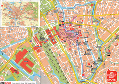
Utrecht Map
178 miles away
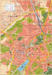
Altenburg Tourist Map
Guide to Altenburg, Germany in German
178 miles away
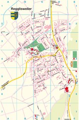
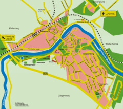
Regglisweiler Map
Map of town of Regglisweiler
178 miles away
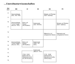
Test Map
179 miles away
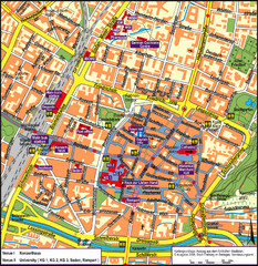
Frieburg Tourist Map
179 miles away
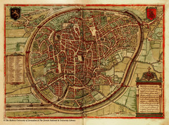
Medieval Brussels Map
179 miles away
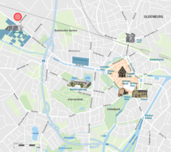
Oldenburg Center Map
Street map of Oldenburg city center
179 miles away
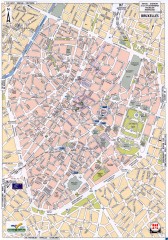
Brussels Street Map
Street map of the center of Brussels, Belgium (Brussel, Bruxelles). Major buildings labeled.
179 miles away
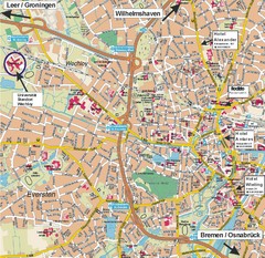
Oldenburg City Map
City map of Oldenburg with hotels
180 miles away
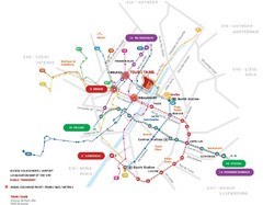
Brussels Transit Map
180 miles away
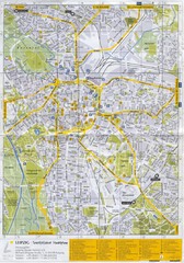
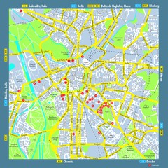
Leipzig Tourist Map
Tourist map of Leipzig, Germany. Shows points of interest. Scanned.
180 miles away
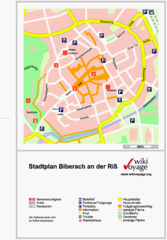
Biberach an der Riß Tourist Map
Tourist map of Biberach an der Riß town center
180 miles away
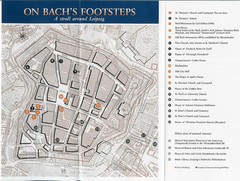
Leipzig Bach Tourist Map
Tourist map of points of interest in central Leipzig, Germany related to composer Johann Sebastian...
181 miles away
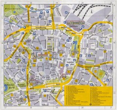
Leipzig Inner City Tourist Map
Tourist map of inner city Leipzig, Germany. Shows major buildings and points of interest.
181 miles away
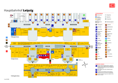
Leipzig HBf Map
181 miles away
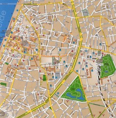
Antwerp Tourist Map
Tourist map of central Antwerp, Belgium. Scanned.
182 miles away
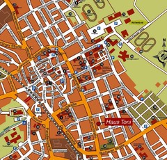
Bad Saulgau Tourist Map
Tourist street map of Bad Saulgau town center
182 miles away
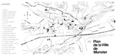
Munster Map
183 miles away
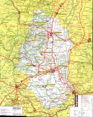
Alsace - Haut Rhin Map
184 miles away
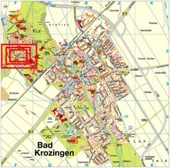
Bad Krozingen Map
Street map of Bad Krozingen
185 miles away
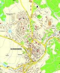
Schneeberg Map
Street map of city of Schneeberg
185 miles away
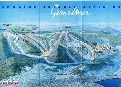
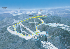
Gérardmer Ski Trail Map
Trail map from Gérardmer.
185 miles away
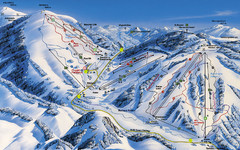
Feldberg Ski Trail Map
Trail map from Feldberg.
187 miles away
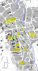
Augsburg Tourist Map
Tourist street map of downtown Augsburg
188 miles away
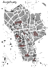
Augsburg Tourist Map
Shows central Augsburg and its sights.
188 miles away
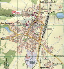
Aulendorf Map
Street map of city of Aulendorf
188 miles away
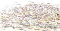
Guebviller valley panorama Map
189 miles away
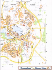
Bad Waldsee Map
Street map of Bad Waldsee
192 miles away
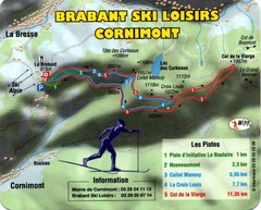
Cornimont Ski Trail Map
Trail map from Cornimont.
193 miles away
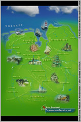
Northwest Germany Tourist Map
Tourist map of northwest region of Germany. Shows photos of major towns and regional icons.
194 miles away
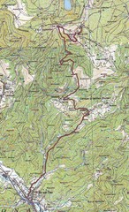
Grand Ballon Race Course Map
Topo course map of the 13.2 km running race to the summit of Grand Ballon
194 miles away
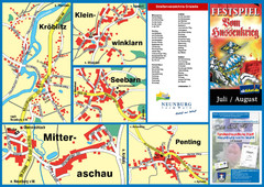
Neunburg vorm Wald District Map
Tourist street map of districts of Neunburg
195 miles away
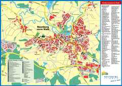
Neunburg vorm Wald Map
Tourist street map of Neunburg vorm Wald
195 miles away
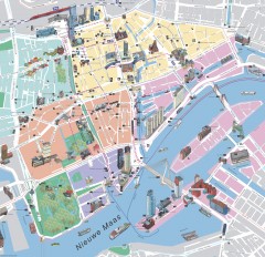
Rotterdam Tourist Map
Tourist map of Rotterdam, Netherlands. Largest port in Europe.
195 miles away
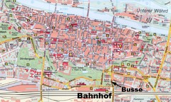
Regensburg Tourist Map
Tourist map of Regensburg city center
195 miles away
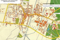
Tangerhuette Map
Street map of city of Tangerhuette
195 miles away
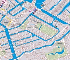
Waterlooplein, Plantage and Oosterpark Tourist Map
Waterlooplein, Plantage and Oosterpark neighborhoods in Amsterdam
197 miles away

