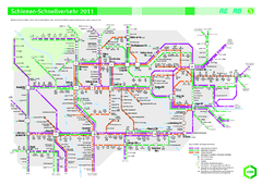
Ruhr VRR Schnellverkehr Map
96 miles away
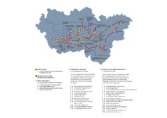
Ruhrgebiet Industriekultur Map
97 miles away
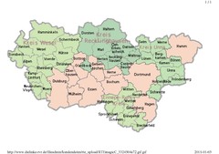
Ruhr RVR Map
97 miles away
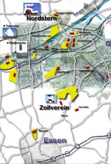
Essen-Nord Map
97 miles away
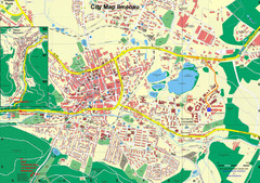
Ilmenau City Map
City map of Ilmenau, Germany
98 miles away
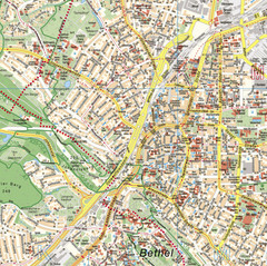
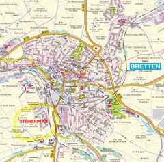
Bielefeld Street Map
Street map of central Bielefeld, Germany. Shows some points of interest.
100 miles away
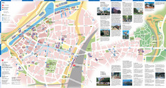
Duisburg Tourist Map
Tourist map of central Duisburg, Germany. Shows points of interest.
101 miles away
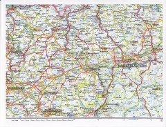
Gerhardsbrunn Map
102 miles away
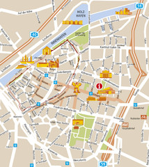
Duisburg City Map
Street map of Duisburg center
102 miles away
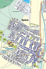
Spoeck Map
Street map of town of Spoeck
102 miles away

Heilbronn Tourist Map
Tourist map of Heilbronn
103 miles away
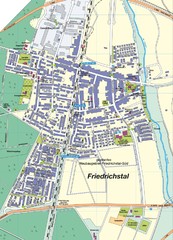
Friedrichstal Map
Street map of town of Friedrichstal
103 miles away
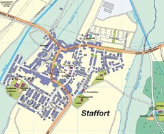
Staffort Map
Street map of town of Staffort
103 miles away
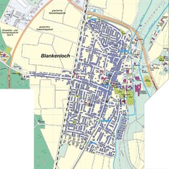
Blankenloch Map
Street map of town of Blankenloch
105 miles away
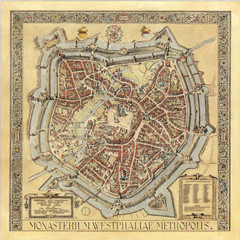
Münster City Map 1636
106 miles away
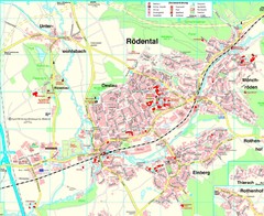
Rödental Map
Street map of city of Rödental
106 miles away
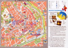
Erfurt Tourist Map
Tourist map of Erfurt, Germany. Shows points of interest. In German. Scanned.
106 miles away
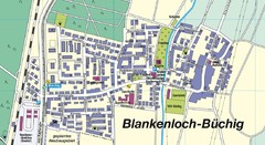
Buechig Map
Street map of town of Buechig
107 miles away
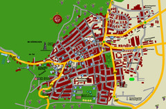
Bad Bergzabern Tourist Map
Tourist street map of Bad Bergzabern
107 miles away
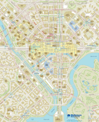
Wallensen Downtown Map
Wallensen City Downtown Map.
107 miles away
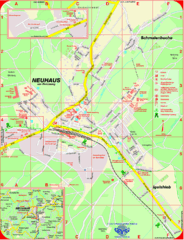
Neuhaus am Rennweg Map
Street map of Neuhaus am Rennweg
108 miles away
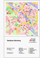
Bamberg Tourist Map
Tourist map of downtown Bamberg
109 miles away
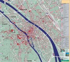
Bamberg City Map
City map of Bamberg, Germany
109 miles away
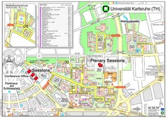
Karlsruhe University Campus Map
Campus map of Universität Karlsruhe, the oldest Technical University in Germany, founded in...
109 miles away
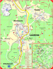
Lauscha Map
Street map of town of Lauscha and surrounding area
109 miles away
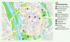
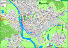
Hameln Map
110 miles away

