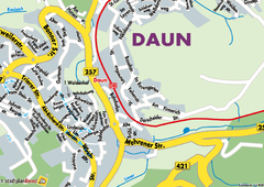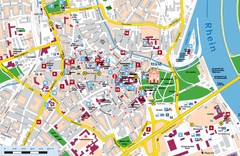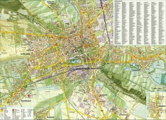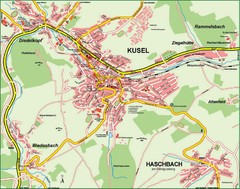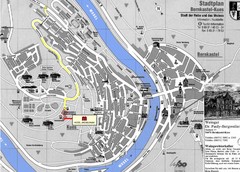
Bernkastel City Map
City map of Bernkastel-Kues with hotels and attractions
85 miles away
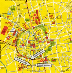
Gottingen City Map
City map of Gottingen with school buildings highlighted
85 miles away

Goettingen Map
map of downtown Goettingen.
86 miles away
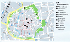
Gottingen Map
86 miles away
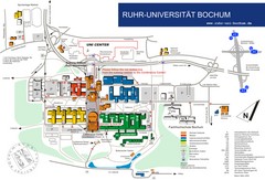
Ruhr-Universitat Campus Map
86 miles away
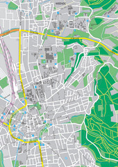
Göttingen City Map
City map of Göttingen, Germany
86 miles away
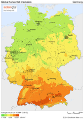
Solar Radiation Map of Germany
Solar Radiation Map Based on high resolution Solar Radiation Database: SolarGIS. On the Solar Map...
87 miles away
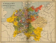
Germany 1519 Historical Map
87 miles away
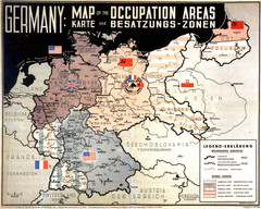
Occupation Areas of Germany after 1945 Map
This was an actual poster to be shown in the occupied Germany after the WWII.
87 miles away
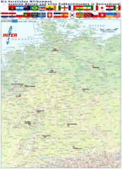
Germany Football World Cup 2006 Map
Shows football (soccer) cities in the 2006 World Cup hosted by Germany.
87 miles away
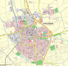
Gerolzhofen Map
Detailed street map of Gerolzhofen
88 miles away
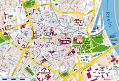
Speyer City Map
City map of central Speyer, Germany
88 miles away
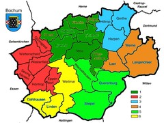
Bochum Stadtteile Map
89 miles away
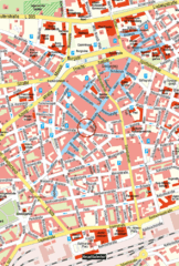
Kaiserslautern Center Map
Street map of Kaiserslautern city center
89 miles away
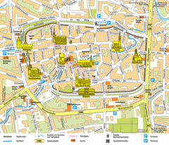
Mühlhausen Tourist Map
Tourist street map of Mühlhausen
89 miles away
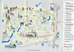
Muhlhausen City Map
City map of Muhlhausen with attractions.
89 miles away
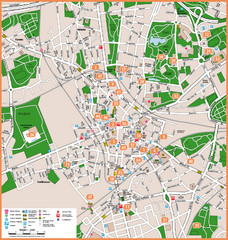
Bochum Tourist Map
Tourist map of central Bochum, Germany. Shows points of interest; numbers correspond to more info...
89 miles away
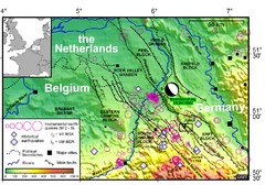
Earthquake in Lower Rhine Map
Seismotectonic map of the Lower Rhine graben system in the border area of Belgium, Germany and the...
89 miles away
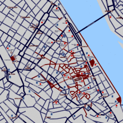
Heisingen Map
Detailed map of the city including parking, streets, and hotels.
90 miles away
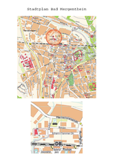
Bad Mergentheim Map
Street map of Bad Mergentheim
90 miles away
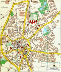
Ennirgerloh Map
Street map of Ennirgerloh
91 miles away
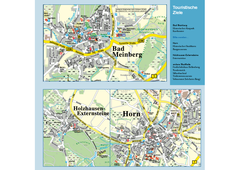
Horn-Bad Meinberg Map
Street map of Horn-Bad Meinberg and surrounding area
92 miles away
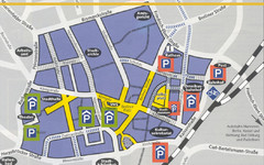
Parking Spots in Downtown Gutersloh Map
92 miles away
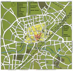
Gütersloh Map
Street tourist map of Gütersloh
92 miles away
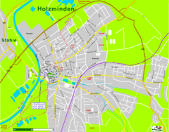
Holzminden Map
Street map of Holzminden
92 miles away
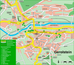
Gerolstein Map
Street map of Gerolstein
92 miles away

Zeil am Main Tourist Map
Tourist street map of Zeil am Main and surrounding region
93 miles away
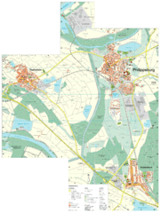
Philippsburg Map
Street map of Philippsburg
94 miles away
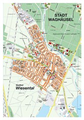
Wiesental Map
Street map of town of Wiesental
94 miles away
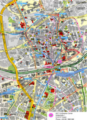
Essen Street Map
Street map of central Essen, Germany
94 miles away
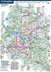
Dusseldorf Public Transport Network Map
Official Rheinbahn map shows municipal-rail, light rail and tramway system, as well as a close-knit...
94 miles away
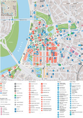
Dusseldorf Tourist Map
Tourist map of central Düsseldorf, Germany. Shows points of interest.
94 miles away
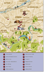
Essen Region Tourist Map
Tourist map of region of Essen
94 miles away
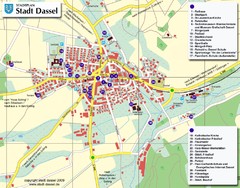
Dassel Tourist Map
Tourist street map of Dassel
95 miles away
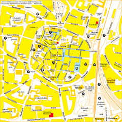
Recklinghausen Map
Street map of city
96 miles away

