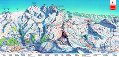
Piste Map of Zermatt with Cervinia
Combined piste map of Zermatt and Cervinia resorts. Shows both sides of the huge ski destination.
322 miles away
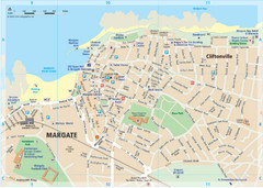
Margate TouristMap Map
322 miles away
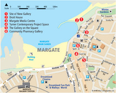
Margate Tourist Map
Tourist map of Margate, England.
323 miles away
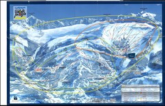
Grand Massif, Flaine (france) Map
323 miles away

Thanet Isle Map
1809 Guide to Thanet Isle in Britain
324 miles away
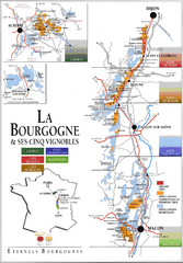
Burgandy Region Wine Districts Map
Shows wine districts of La Bourgogne region, France from Dijon to Macon.
325 miles away
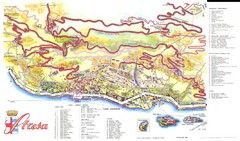
Stresa Map
325 miles away

Haute Route Ski Tour Map - Verbier Variant
Ski tour topo route map of the European Alps' most famous alpine ski tour connecting two...
325 miles away
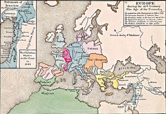
Old Map of Europe - 12th century
326 miles away
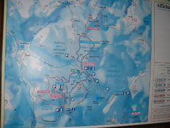
Station du Haut-Folin ? Nordic Ski Trail Map
Trail map from Station du Haut-Folin, which provides nordic skiing. This ski area has its own...
326 miles away
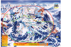
Les Carroz Ski Trail Map
Trail map from Les Carroz.
328 miles away
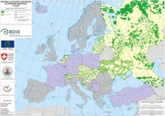
National Ecological Networks of European...
Shows core areas and ecological corridors in European countries with Ecological Network plans. By...
329 miles away
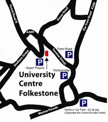
University Centre at Folkestone Map
329 miles away
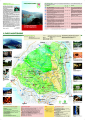
Monte Barro Map
330 miles away
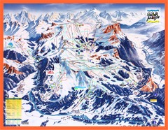
Flaine Map
Guide to Ski Resorts in the French Alps near Flaine
330 miles away
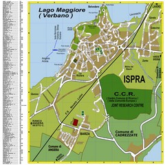
Ispra Town Map
Town map of Ispra, Italy on east side of Lake Maggiore (Lombardy region, Northern Italy). With...
330 miles away
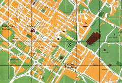
Sesto Map
330 miles away
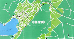
Como City Map
City map and historical sites of Como, Italy.
331 miles away
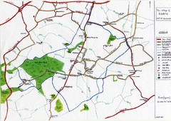
Hoath Town Map
Handwritten map of town of Hoath, England near Canterbury.
331 miles away
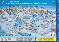
San Martino di Cartozza Ski Trail Map
Ski trail map of San Martino di Cartozza, Italy
332 miles away
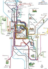
Trento Bus Route Map (Italian)
332 miles away
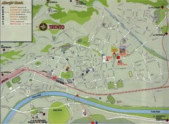
Trento Map
332 miles away
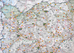
Northern Italy Map
Map of very north of Italy. Shows all towns, roads, recreational activities and gas stations.
332 miles away
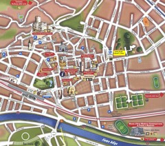
Trento Tourist Map
Tourist map of central Trento, Italy. Shows major buildings.
332 miles away
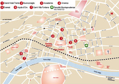
Trento center Map
332 miles away
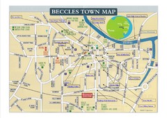
Beccles Town Map
332 miles away
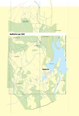
Naßlettel Map
332 miles away
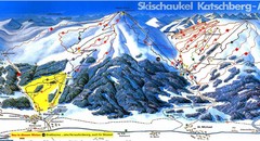
Lungau Ski Trail Map
Trail map from Lungau.
332 miles away
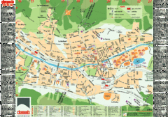
Chamonix Tourist Map
Tourist street map of Chamonix, France. In French.
333 miles away
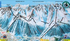
Chamonix—La Flegère Ski Trail Map
Trail map from Chamonix—La Flegère.
333 miles away
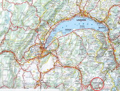
Chamonix Location Map
333 miles away

Chamonix Valley Town Map
Map of Chamonix Valley and ski locations
333 miles away

Great Yarmouth District England Map
Map of Great Yarmouth & the Norfolk Broads showing major roads and cities.
333 miles away
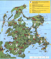
Rügen Tourist Map
Tourist map of the island of Rügen, Germany's largest island.
333 miles away
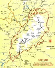
Tour du Mont Blanc Map
Beginner's Guide to the Tour du Mont Blanc
333 miles away
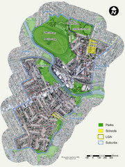
Canterbury Map
Map of parks, main streets, etc.
335 miles away
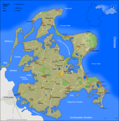
Rügen Map
Shows shaded population density of island of Rugen, Germany
336 miles away
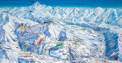
Le Grand Bornand Ski Trail Map
Trail map from Le Grand Bornand.
337 miles away
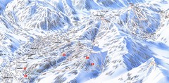
Combloux Trail Map
Ski trail map
338 miles away
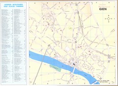
Gien Map
339 miles away

