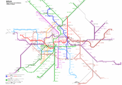
Berlin Rapid Transit Map
244 miles away
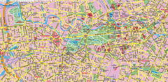
Berlin Center Map
244 miles away
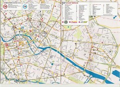
Berlin City Map
City map of Berlin with tourist information
244 miles away
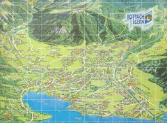
Rottach Egern Map
244 miles away
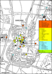
Garching Map
Map of Garching, a suburb to the north of Munich, with hotels, restaurants and bus stops marked.
244 miles away
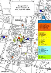
Map of the city of Garching, Germany
General visitor information including the locations of restaurants, hotels, bus stops and more.
244 miles away
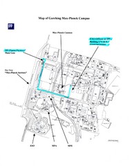
Garching Max-Planck Campus Map
Map of the Max-Planch Campus in Garching, Germany. Includes information on Accommodation and...
244 miles away
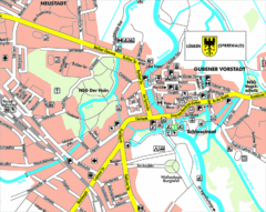
Lübben (Spreewald) Map
Street map of Lübben (Spreewald)
245 miles away

Opfer des Nationalsozialismus in Dithmarschen Map
245 miles away
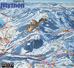
Brunni-Alpthal Ski Trail Map
Trail map from Brunni-Alpthal.
245 miles away
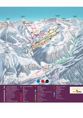
Malbun Ski Trail Map
Ski trail map of area surrounding Malbun, Liechtenstein. Also shows walking routes.
245 miles away
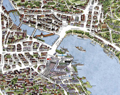
Lucerne Tourist Map
Tourist map of central Lucerne, Switzerland. 3D view showing buildings.
245 miles away
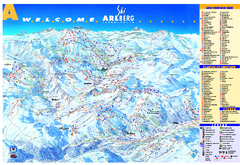
St Anton Region Ski map
Panoramic ski map covers St. Anton, St. Christoph, St. Jakob, Stuben, Zurs, Zug, Lech, and Oberlech...
246 miles away
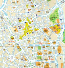
Lille Center Map
Street map of Lille city center
246 miles away
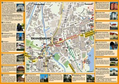
Oranienburg Tourist Map
Tourist street map of Oranienburg
247 miles away
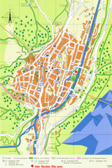
Mittenwald Tourist Map
Tourist street map
247 miles away
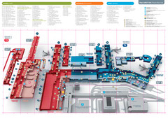
Praugue Airport Map
249 miles away
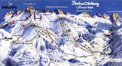
Arlberg – St Anton Ski Trail Map
Trail map from Arlberg – St Anton.
249 miles away

Czech Republic Map
250 miles away
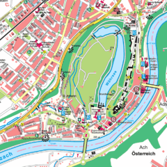
Burghausen Tourist Map
Tourist street map of Burghausen
251 miles away
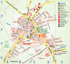
Wesselburen Tourist Map
Tourist street map of Wesselburen
251 miles away
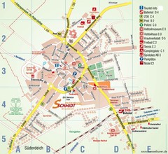
Wesselburen Tourist Map
Tourist map of Wesselburen
251 miles away
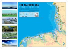
Wadden Sea Map
Map of Wadden Sea area and trilateral conservation area. Consists of lands and waters in The...
251 miles away
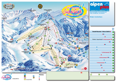
Sudelfeld Ski Trail Map
Trail map from Sudelfeld.
252 miles away
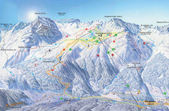
Montafon Ski Trail Map
Trail map from Montafon.
252 miles away
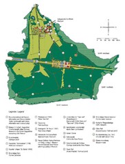
Chiemsee Island Germany Tourist Map
Tourist map of the island showing all the tourist sites.
252 miles away
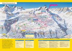
Braunwald Ski Trail Map
Trail map from Braunwald.
253 miles away
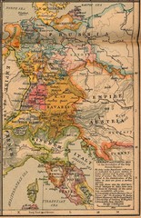
Germany Italy 1806 Map
Germany and Italy in 1806 at the dissolution of the Roman Empire
253 miles away
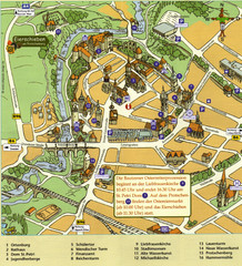
Bautzen Tourist Map
Tourist map of Bautzen town center
254 miles away
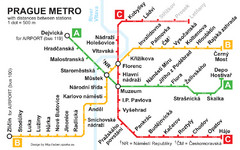
Prague Metro 2008 Map
255 miles away
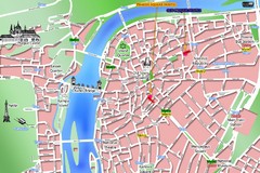
Prague Old Town Map
Tourist map of Old Town Prague, Czech Republic
255 miles away
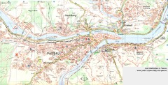
Passau Map
City map of Passau and surrounding area
256 miles away
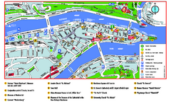
Passau Tourist Map
Tourist map of Passau, Germany. Shows points of interest. In English.
256 miles away
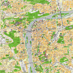
Prague City Center Map
Street map of Prague's city center. Shows tourist points of interest including landmark...
256 miles away
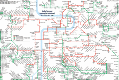
Prague Night Tram and Bus Lines Map
256 miles away
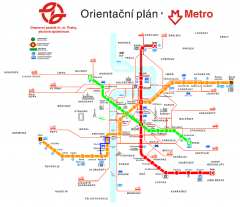
Prague Metro and Strret Car Map
Overview of Prague's metro and bus lines. Date unknown.
256 miles away

