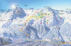
Montafon Ski Trail Map
Trail map from Montafon.
169 miles away
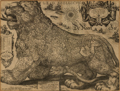
Jodocus Hondius’ Map of Belgium as a Lion...
Jodocus Hondius’ Map depicting Belgium as a Lion.
169 miles away
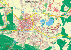
Ilmenau City Map
City map of Ilmenau, Germany
170 miles away
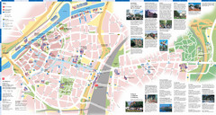
Duisburg Tourist Map
Tourist map of central Duisburg, Germany. Shows points of interest.
170 miles away
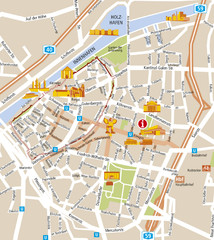
Duisburg City Map
Street map of Duisburg center
170 miles away
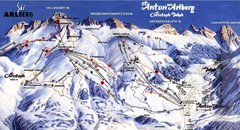
Arlberg – St Anton Ski Trail Map
Trail map from Arlberg – St Anton.
170 miles away
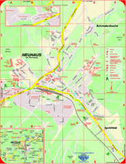
Neuhaus am Rennweg Map
Street map of Neuhaus am Rennweg
171 miles away
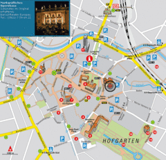
Bayreuth Tourist Map
Tourist map of Bayreuth town center
171 miles away
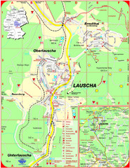
Lauscha Map
Street map of town of Lauscha and surrounding area
171 miles away
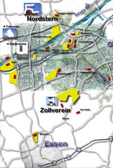
Essen-Nord Map
172 miles away
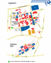
Universitat Dortumund Campus Map
172 miles away
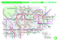
Ruhr VRR Schnellverkehr Map
172 miles away
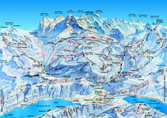
Jungfrauregion (Mürren, Wengen, Grindelwald) Ski...
Trail map from Jungfrauregion (Mürren, Wengen, Grindelwald), which provides downhill skiing.
172 miles away
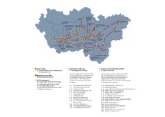
Ruhrgebiet Industriekultur Map
172 miles away
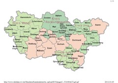
Ruhr RVR Map
172 miles away
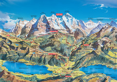
Jungfrau Grindelwald region summer map
This map is a summer panorama looking south from Interlaken toward the Jungfrau, Eiger, and the...
172 miles away

Andermatt (Hospental) Ski Trail Map
Trail map from Andermatt (Hospental).
174 miles away
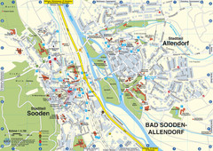
Sooden-Allendorf Map
Street map of Sooden and Allendorf
174 miles away
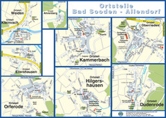
Bad Sooden-Allendorf Towns Map
Street maps of towns within the Bad Sooden-Allendorf region
174 miles away
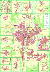
Mainburg Map
Street map of Mainburg city and surrounding region
175 miles away
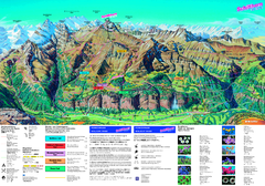
Schilthorn Summer Trail Map
Summer hiking map of Mürren-Schilthorn area. Shows lifts and trails.
176 miles away
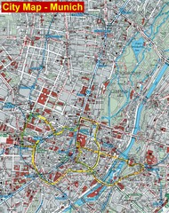
Munich City Map
City map of Munich, Germany
177 miles away
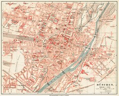
Munich Map
177 miles away
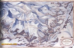
Davos-Klosters Ski Trail Map
Trail map from Davos-Klosters.
177 miles away
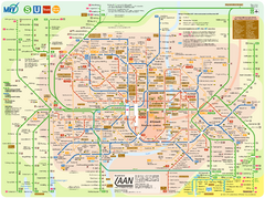
Munich Public Transportation Map
177 miles away
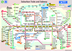
Munich public transportation system Map
This MVV network map, probably the best known one, shows all lines and stops for the urban rail and...
177 miles away
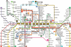
Munich Metro Map
Metro map of Munich, Germany. In German.
177 miles away
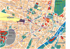
Munich Tourist Map
Tourist map of central Munich (München), Germany.
177 miles away
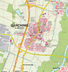
Garching bei München Map
Street map of Garching bei München
177 miles away
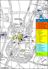
Garching Tourist Map
Tourist map of Garching bei Munchen, Germany. Shows hotels, restaurants and the most important bus...
177 miles away
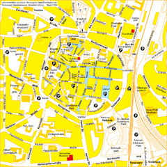
Recklinghausen Map
Street map of city
177 miles away
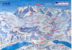
Jungfrau Map
177 miles away
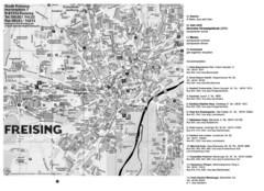
Freising City Map
178 miles away
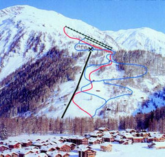
Hungerberg Ski Trail Map
Trail map from Hungerberg, which provides downhill skiing. It has 3 lifts. This ski area has its...
178 miles away

