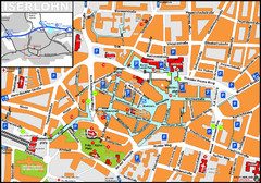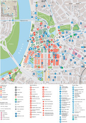
Dusseldorf Tourist Map
Tourist map of central Düsseldorf, Germany. Shows points of interest.
157 miles away
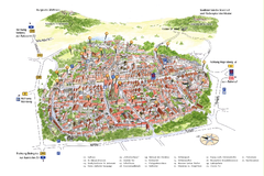
Neumarkt in der Oberpfalz Map
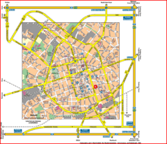
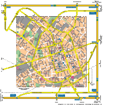
Tourist map of city center of Neumarkt in der Oberpfalz, Germany. In German
157 miles away
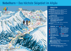
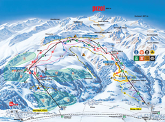
Oberstdorf Ski Trail Map
Trail map from Oberstdorf.
157 miles away
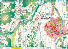
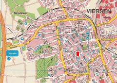
Oberstdorf City Map
City map of Oberstdorf, Germany and surrounding area. Shows buildings and ski lifts. In German.
157 miles away
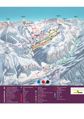
Malbun Ski Trail Map
Ski trail map of area surrounding Malbun, Liechtenstein. Also shows walking routes.
157 miles away
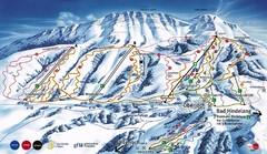
Oberjoch-Unterjoch Ski Trail Map
Trail map from Oberjoch.
157 miles away
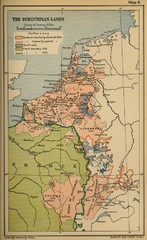
The Burgundian Lands Historical Map
158 miles away
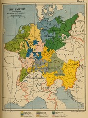
1912 Empire Historical Map
158 miles away
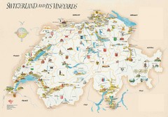
Switzerland Vineyards Map
Shows vineyards of Switzerland.
158 miles away
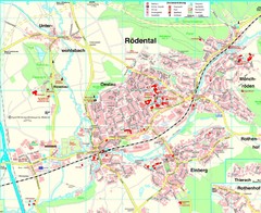
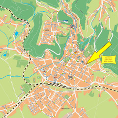
Rödental Map
Street map of city of Rödental
159 miles away
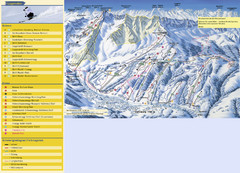
Sörenberg Ski Trail Map
Trail map from Sörenberg.
159 miles away
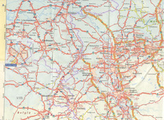
Maastricht Map
Highway map of Maastricht area
159 miles away
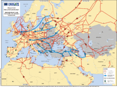
Europe Proposed Natural Gas Pipelines Map
The priority axes for natural gas pipelines, which involve INOGATE Participating Countries and...
160 miles away

Switzerland Map
162 miles away
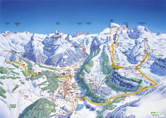
Engelberg Titlis Ski Trail Map
Trail map from Engelberg Titlis.
162 miles away
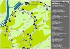
Muttental Bergbauwanderweg Map
163 miles away
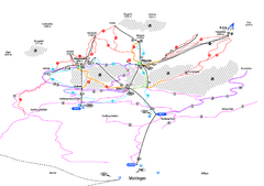
Alpenregion Meiringen-Hasliberg Ski Trail Map
Trail map from Alpenregion Meiringen-Hasliberg.
163 miles away
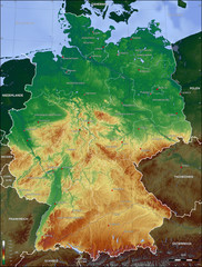
Germany Topo Map
Topographical map of Germany. Shaded by elevation in meters. Also shows major German cities.
164 miles away
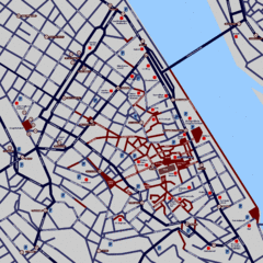
Heisingen Map
Detailed map of the city including parking, streets, and hotels.
165 miles away
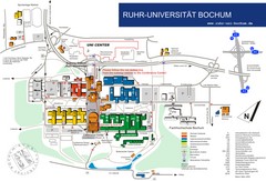
Ruhr-Universitat Campus Map
165 miles away
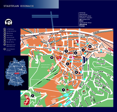
Eisenach Tourist Map
Tourist street map of Eisenach
165 miles away
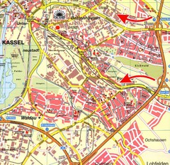
Bettenhausen Map
Map of Bettenhausen
167 miles away
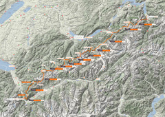
Swiss Alps Trail Map
Around Interlaken, Switzerland.
167 miles away
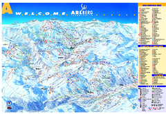
St Anton Region Ski map
Panoramic ski map covers St. Anton, St. Christoph, St. Jakob, Stuben, Zurs, Zug, Lech, and Oberlech...
167 miles away
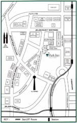
Kuala Lumpur Hotel Map
168 miles away
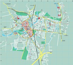
Dachau City Map
City street map of Dachau
168 miles away
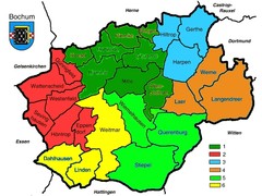
Bochum Stadtteile Map
168 miles away
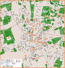
Bochum Tourist Map
Tourist map of central Bochum, Germany. Shows points of interest; numbers correspond to more info...
168 miles away
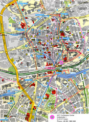
Essen Street Map
Street map of central Essen, Germany
168 miles away
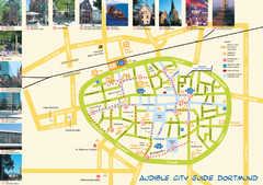
Dortmund Tourist Map
Tourist map of central Dortmund, Germany. Shows photos of points of interest along a walking audio...
168 miles away
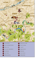
Essen Region Tourist Map
Tourist map of region of Essen
169 miles away
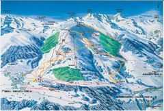
Brigels Ski Trail Map
Trail map from Brigels.
169 miles away
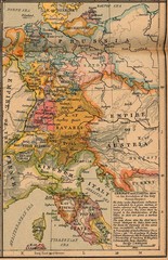
Germany Italy 1806 Map
Germany and Italy in 1806 at the dissolution of the Roman Empire
169 miles away

