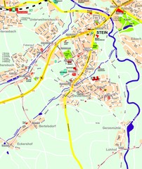
Stein Map
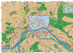
Street map of Stein and surrounding region
138 miles away
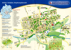
Bad Konigshofen Toursit Map
Tourist map of Bad Konigshofen
138 miles away
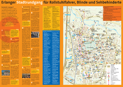
Erlangen Tourist Map
Tourist street map of Erlangen
140 miles away
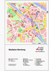
Bamberg Tourist Map
Tourist map of downtown Bamberg
141 miles away
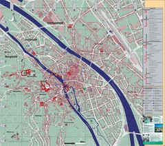
Bamberg City Map
City map of Bamberg, Germany
141 miles away
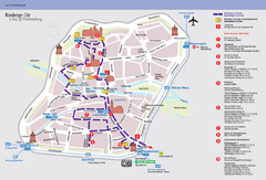
Nuremberg Tourist Map
Tourist map of old city Nuremberg, Germany. Shows tourist points of interest and a tourist walking...
141 miles away
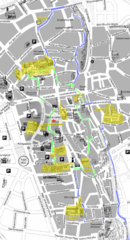
Augsburg Tourist Map
Tourist street map of downtown Augsburg
142 miles away
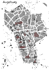
Augsburg Tourist Map
Shows central Augsburg and its sights.
142 miles away
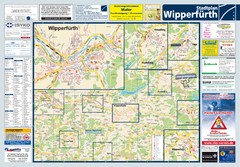
Wipperfuerth Tourist Map
Tourist map of Wipperfuerth and surrounding region
142 miles away
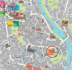
Kempten im Allgäu Tourist Map
Tourist street map of Kempten im Allgäu
143 miles away
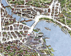
Lucerne Tourist Map
Tourist map of central Lucerne, Switzerland. 3D view showing buildings.
143 miles away
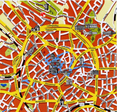
Aachen Center Map
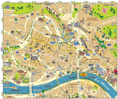
Tourist street map of Aachen city center
144 miles away
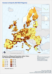
Travel Times to Airports in Europe Map
Shows proportion of car travel time to nearby airports across Western Europe
145 miles away
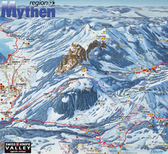
Brunni-Alpthal Ski Trail Map
Trail map from Brunni-Alpthal.
146 miles away
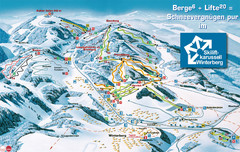
Winterberg Ski Trail Map
Trail map from Winterberg.
147 miles away
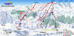
Toggenburg Ski Trail Map
Trail map from Toggenburg.
147 miles away
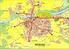
Neuburg an der Donau Map
Street map of Neuburg an der Donau
147 miles away
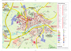
Homberg (Efze) Tourist Map
Tourist street map of Homberg
147 miles away
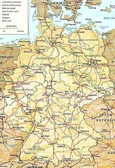
Germany Map
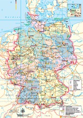
Map of Germany showing roads, railways and cities.
148 miles away
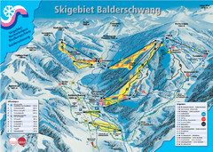
Balderschwang Balderschwang Ski Trail Map
Trail map from Balderschwang.
150 miles away
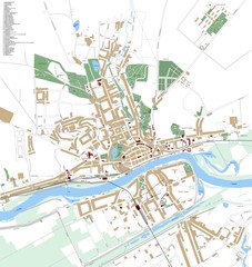
Landsberg Map
Street map of city of Landsberg
151 miles away
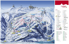
Flumserberg Ski Trail Map
Trail map from Flumserberg.
151 miles away
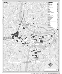
Bern Tourist Map
Tourist map of Bern, Switzerland. Shows museums, accommodations, eating, and drinking spots
151 miles away
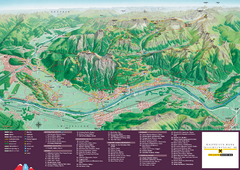
Liechtenstein Tourist Map
Tourist map of the country of Liechtenstein. Panoramic view shows all towns, trails, and mountains.
152 miles away
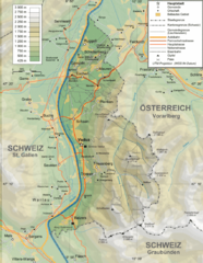
Liechtenstein topography Map
152 miles away
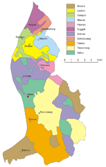
Liechtenstein Tourist Map
152 miles away
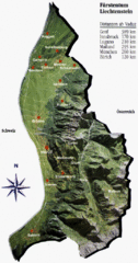
Liechtenstein Tourist Map
152 miles away
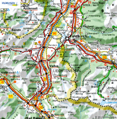
Liechtenstein road Map
152 miles away
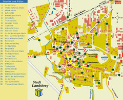
Landsberg Tourist Map
tourist map of town of Landsberg
153 miles away
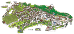
Vaduz Town Map
Tourist map of town of Vaduz, Liechtenstein. Panoramic view shows buildings and streets.
153 miles away
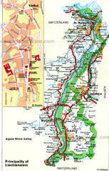
Liechtenstein Principality Map
153 miles away
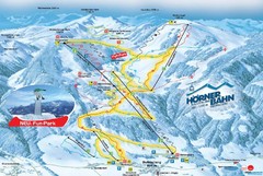
Bolsterlang Ski Trail Map
Trail map from Bolsterlang.
153 miles away
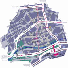
Wuppertal Elberfeld Street Map
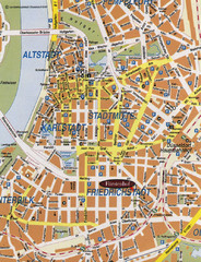
Street map of Elberfeld in Wuppertal, Germany. In German.
154 miles away
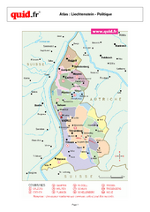
Liechtenstein Regional Map
Country map with detail of regional divides
155 miles away
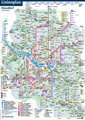
Dusseldorf Public Transport Network Map
Official Rheinbahn map shows municipal-rail, light rail and tramway system, as well as a close-knit...
157 miles away
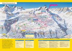
Braunwald Ski Trail Map
Trail map from Braunwald.
157 miles away

