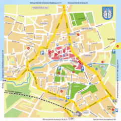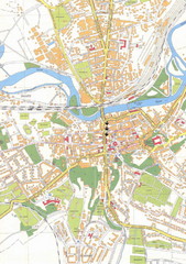
Weissenfels City Map
City map of Weissenfels, Germany
228 miles away
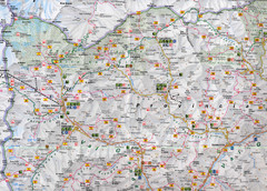
Northern Italy Map
Map of very north of Italy. Shows all towns, roads, recreational activities and gas stations.
228 miles away
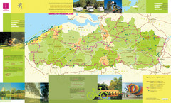
Flanders Camping and Cycling Map
Shows campgrounds and cycling routes in Flanders, Belgium
228 miles away
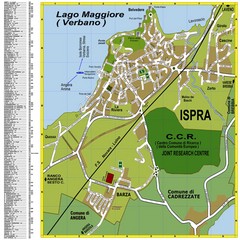
Ispra Town Map
Town map of Ispra, Italy on east side of Lake Maggiore (Lombardy region, Northern Italy). With...
229 miles away
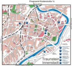
Traunstein Map
Street map of Traunstein
229 miles away
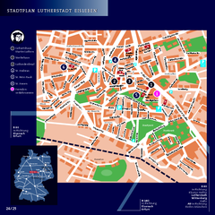
Eisleben Tourist Map
Tourist street map of Eisleben
230 miles away
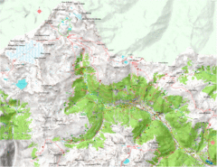
Val di Rabbi Topo Map
Detailed topographic map of Val di Rabbi, Italy on the edge of Stelvio National Park
230 miles away
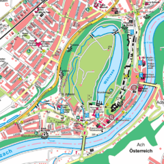
Burghausen Tourist Map
Tourist street map of Burghausen
230 miles away
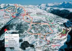
Reinswald Ski Trail Map
Trail map from Reinswald, which provides downhill skiing. It has 4 lifts. This ski area has its own...
230 miles away
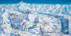
Le Grand Bornand Ski Trail Map
Trail map from Le Grand Bornand.
231 miles away
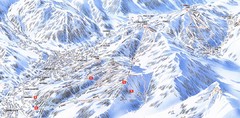
Combloux Trail Map
Ski trail map
231 miles away
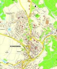
Schneeberg Map
Street map of city of Schneeberg
231 miles away
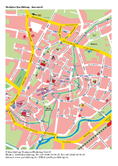
Quedlinburg Map
Street map of town of Quedlinburg
232 miles away
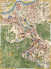
Karlovy Vary Czech Republic Tourist Map
Tourist map of Karlovy Vary, Czech Republic. Shows businesses, buildings of historical interest and...
232 miles away
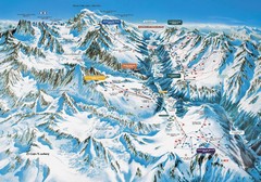
Chamonix Piste Ski Area Trail Map
232 miles away
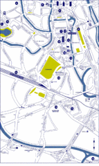
Ghent City Map
City map of Ghent with attractiosn
232 miles away
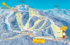
Arber Ski Trail Map
Trail map from Arber.
232 miles away
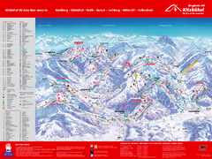
Kitzbuhel Ski Trail Map
Trail map from Kitzbuhel.
232 miles away
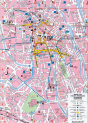
Ghent Walking Tour Map
Tourist and walking tour map of Ghent, Belgium. Shows points of interest.
233 miles away
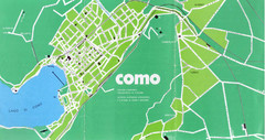
Como City Map
City map and historical sites of Como, Italy.
233 miles away
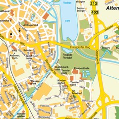
Nordhorn Center Map
Street map of Nordhorn town center
233 miles away
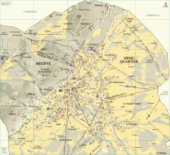
Megeve Village Map
Detailed map of Megève village, France shows roads, building outlines, and in-town ski lifts.
234 miles away

Old European map
234 miles away
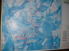
Station du Haut-Folin ? Nordic Ski Trail Map
Trail map from Station du Haut-Folin, which provides nordic skiing. This ski area has its own...
234 miles away
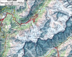
Mont Blanc topographic map
topo map of Mont Blanc, France; highest point in the Alps
235 miles away
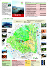
Monte Barro Map
235 miles away
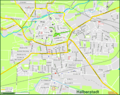
Halberstadt Map
Street map of Halberstadt town
235 miles away
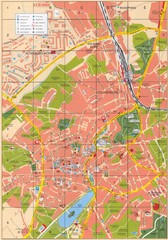
Altenburg Tourist Map
Guide to Altenburg, Germany in German
237 miles away
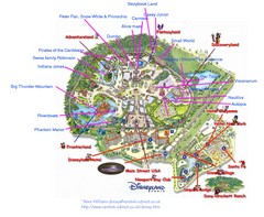
Disneyland Paris Guide Map
Locations and attractions at Disneyland Paris.
237 miles away
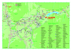
St. Ulrich am Pillersee Map
Village map of St. Ulrich am Pillersee, Austria
237 miles away

Annecy Map
238 miles away
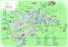
Bolzano Map
238 miles away
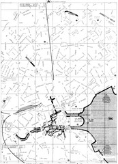
Annecy environs Map
238 miles away

Annecy centre Map
238 miles away
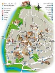
Bolzano tourist map
238 miles away
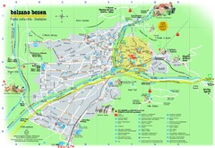
Bolzano Tourist Map
Tourist map of Bolzano, Italy.
238 miles away
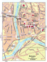
Bolzano centro Map
238 miles away
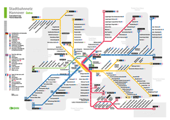
Hannover, Nahverkehr Map
239 miles away
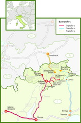
Northern Italy Bustransfer Map
239 miles away

