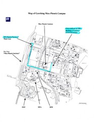
Garching Max-Planck Campus Map
Map of the Max-Planch Campus in Garching, Germany. Includes information on Accommodation and...
220 miles away
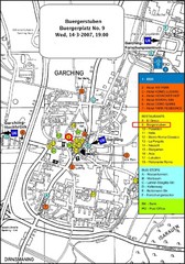
Map of the city of Garching, Germany
General visitor information including the locations of restaurants, hotels, bus stops and more.
220 miles away
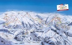
Zillertal Arena Ski Trail Map
Trail map from Zillertal Arena.
221 miles away
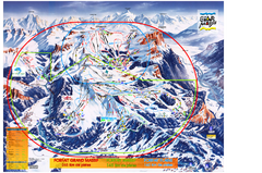
Les Carroz Ski Trail Map
Trail map from Les Carroz.
221 miles away
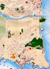
Verbania Pallatzo City Map
City map of Verbania-Pallanza, Italy on Lago Maggiore
221 miles away
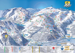
Mayrhofen Ski Trail Map
Ski trail map of Mayrhofen ski area in Austria.
221 miles away
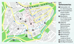
Goslar Map
222 miles away
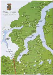
Lake Como Map
Map of lake with detail of surrounding towns
223 miles away
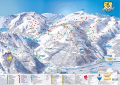
Mayrhofen Ski Trail Map
Trail map from Mayrhofen.
223 miles away
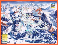
Flaine Map
Guide to Ski Resorts in the French Alps near Flaine
223 miles away
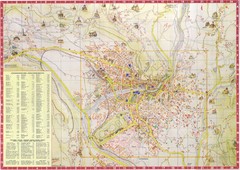
Merano Map
223 miles away
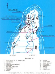
Bellagio Map
224 miles away
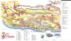
Stresa Map
224 miles away
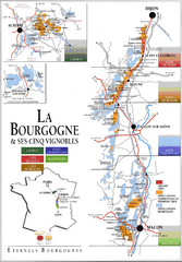
Burgandy Region Wine Districts Map
Shows wine districts of La Bourgogne region, France from Dijon to Macon.
224 miles away
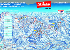
Wilder Kaiser Ski Trail Map
Trail map from Wilder Kaiser – Gosau, Scheffau, Ellmau.
225 miles away
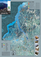
Lake Como Mountain Biking Trail Map
Trail map of mountain biking routes around Lake Como, Italy.
225 miles away
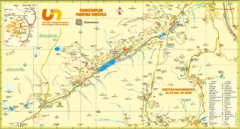
Ultental Deutschnonsberg St. Walburg Tourist Map
Tourist map of the southern Tyrol region around Ultental, Deutschnonsberg, and St. Walburg/ S...
226 miles away
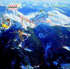
Meran Ski Trail Map
Trail map from Meran 2000, which provides downhill skiing. This ski area has its own website.
226 miles away
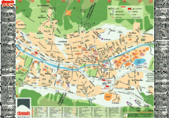
Chamonix Tourist Map
Tourist street map of Chamonix, France. In French.
226 miles away
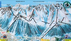
Chamonix—La Flegère Ski Trail Map
Trail map from Chamonix—La Flegère.
226 miles away
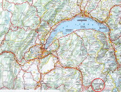
Chamonix Location Map
226 miles away

Chamonix Valley Town Map
Map of Chamonix Valley and ski locations
226 miles away
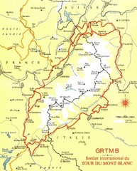
Tour du Mont Blanc Map
Beginner's Guide to the Tour du Mont Blanc
227 miles away
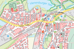
Vienenburg Center Map
Street map of town center
227 miles away
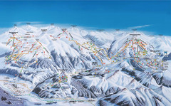
Gerlos Ski Resort Map
Ski map for Gerlos, Austria. Includes ski runs, lifts, mountains with elevations and amenities.
227 miles away
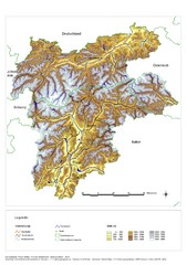
South Tyrol Elevation Map
Physical relief map of the South Tyrol region in present-day borders of Italy and Austria.
227 miles away
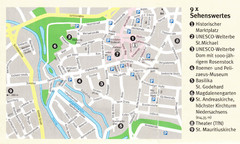
Hildesheim Map
227 miles away
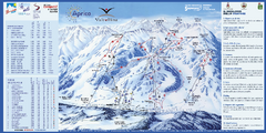
Aprica Ski Trail Map
Trail map from Aprica, which provides downhill skiing. This ski area has its own website.
227 miles away
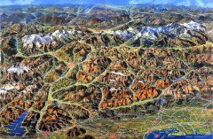
Eastern Alps Italy and Austria Overview Map
Panoramic map of the mountains and towns of northern Italy, the Tyrol, and southern Austria
227 miles away
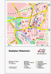
Hildesheim Center Tourist Map
Tourist street map of Hildesheim city center
228 miles away
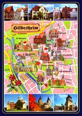
Hildesheim Tourist Map
Tourist map of downtown Hildesheim
228 miles away
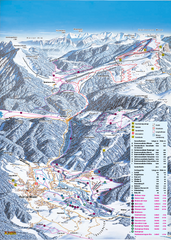
Reit im Winkl Ski Trail Map
Trail map from Reit im Winkl.
228 miles away

