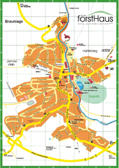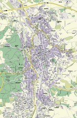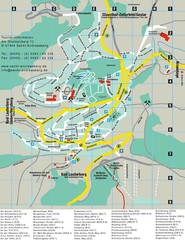
Sankt Andreasberg Tourist Map
Sankt Andreasberg tourist map
212 miles away

Sulden Trafoi Summer Hiking Map
Summer hiking route map of Sulden (Solda) Italy, Trafoi, Italy and Stelvio, Italy. Shows hiking...
212 miles away
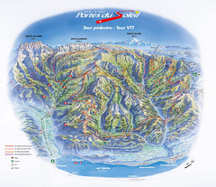
Portes du Soleil Summer Map
Summer recreation map of the Portes du Soleil covers both the French and Swiss sides of the area...
212 miles away
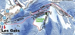
Les Gets Ski Trail Map
Trail map from Les Gets.
213 miles away
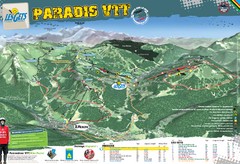
Les Gets Trail Map
Mountain biking trail map
213 miles away
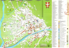
Bormio Tourist Map
Tourist map of town of Bormio, Italy. Legend of all streets and services.
213 miles away
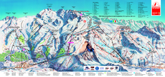
Matterhorn Ski Paradise Ski Trail Map
Trail map from Matterhorn ski paradise.
213 miles away
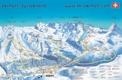
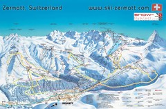
Zermatt Switzerland ski map
Zermatt Switzerland ski map
213 miles away
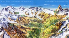
Zermatt Switzerland summer map
Summer hiking map of Zermatt
213 miles away
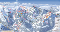
Les Gets Ski Resort Map
Ski Resort map for Les Gets in France. Map shows runs, lifts, mountains, elevations and amenities.
214 miles away
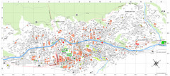
Zermatt Tourist Map
Guide to Zermatt, Switzerland
214 miles away
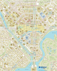
Wallensen Downtown Map
Wallensen City Downtown Map.
214 miles away
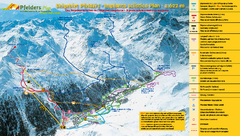
Pfelders Ski Trail Map
Trail map from Pfelders, which provides downhill and nordic skiing. This ski area has its own...
214 miles away
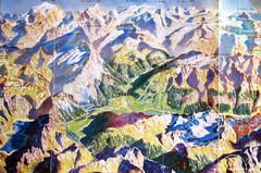
Bormio Panorama Map
Panorama tourist map of Bormio, Italy. Shows Ortler Alps in distance. From photo.
215 miles away
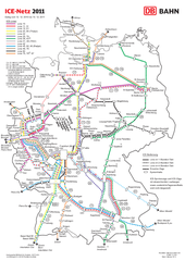
D ICE Netz Map
215 miles away

Sulden Ski Trail Map
Ski trail map of Sulden (Solda), Italy in the Ortler Alps. Shows trails and lifts.
215 miles away
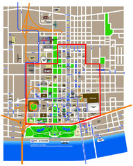
St. Louis, MO Tourist Map
216 miles away
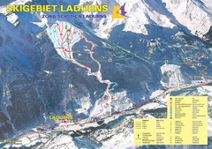
Ladurns Ski Trail Map
Trail map from Ladurns, which provides downhill skiing. This ski area has its own website.
216 miles away
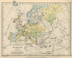
Europe 15th Century Colbeck Map
Europe during the 15th Century
216 miles away
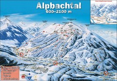
Alpbach Ski Trail Map
Trail map from Alpbach.
216 miles away
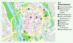
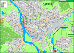
Hameln Map
216 miles away
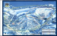
Grand Massif, Flaine (france) Map
217 miles away
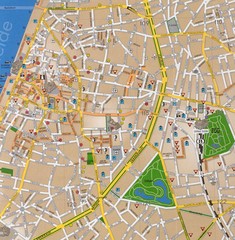
Antwerp Tourist Map
Tourist map of central Antwerp, Belgium. Scanned.
217 miles away
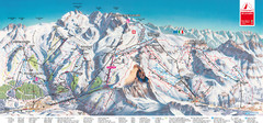
Zermatt Matterhorn Map
217 miles away
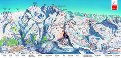
Piste Map of Zermatt with Cervinia
Combined piste map of Zermatt and Cervinia resorts. Shows both sides of the huge ski destination.
217 miles away
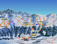
Ratschings / Racines Ski Trail Map
Trail map from Ratschings / Racines.
218 miles away
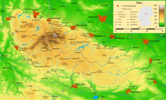
Harz Nature Park Map
Shaded relief map of Naturpark Harz.
218 miles away
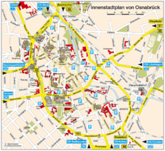
Osnabruck Tourist Map
Tourist map of Osnabruck city center
219 miles away

Haute Route Ski Tour Map - Verbier Variant
Ski tour topo route map of the European Alps' most famous alpine ski tour connecting two...
219 miles away
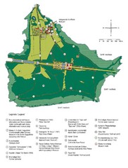
Chiemsee Island Germany Tourist Map
Tourist map of the island showing all the tourist sites.
219 miles away
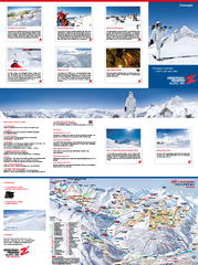
Zillertal 3000 (Hintertux) Ski Trail Map
Trail map from Zillertal 3000 (Hintertux).
219 miles away
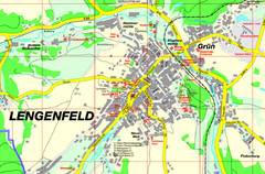
Lengenfeld Map
Street map of Lengenfeld
220 miles away
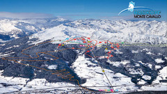
Rosskopf (Vipiteno) Ski Trail Map
Trail map from Rosskopf (Vipiteno), which provides downhill skiing. It has 4 lifts. This ski area...
220 miles away
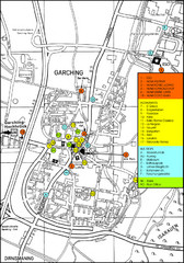
Garching Map
Map of Garching, a suburb to the north of Munich, with hotels, restaurants and bus stops marked.
220 miles away
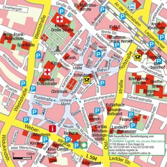
Ibbenbüren Downtown Map
Street map of Ibbenbüren city center
220 miles away

