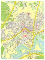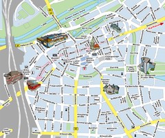
Hamm Center Tourist Map
Tourist street map of Hamm center
178 miles away
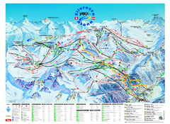
Ischgl – Galtur Ski Trail Map
Trail map from Ischgl – Galtur.
179 miles away
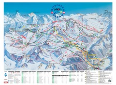
Ischgl – Galtur Ski Trail Map
Trail map from Ischgl – Galtur.
179 miles away
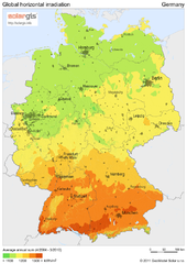
Solar Radiation Map of Germany
Solar Radiation Map Based on high resolution Solar Radiation Database: SolarGIS. On the Solar Map...
179 miles away
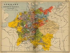
Germany 1519 Historical Map
179 miles away
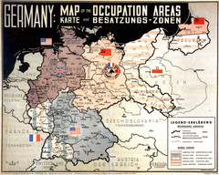
Occupation Areas of Germany after 1945 Map
This was an actual poster to be shown in the occupied Germany after the WWII.
179 miles away
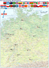
Germany Football World Cup 2006 Map
Shows football (soccer) cities in the 2006 World Cup hosted by Germany.
179 miles away
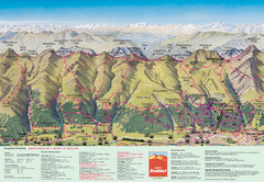
Davos Schatzalp Summer Trail Map
Trail map showing summer trails and lifts at Davos Schatzalp in Davos, Switzerland.
180 miles away
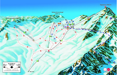
Garmisch Partenkirchen Ski Trail Map
Trail map from Garmisch Partenkirchen.
181 miles away
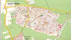
Geretsried Map
Street map of Geretsried
182 miles away
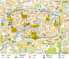
Mühlhausen Tourist Map
Tourist street map of Mühlhausen
182 miles away
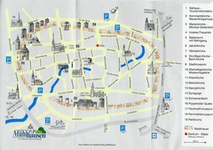
Muhlhausen City Map
City map of Muhlhausen with attractions.
182 miles away
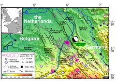
Earthquake in Lower Rhine Map
Seismotectonic map of the Lower Rhine graben system in the border area of Belgium, Germany and the...
183 miles away
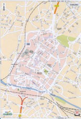
Charleroi Street Map
Street map of Charleroi, Belgium. Major buildings labeled.
183 miles away

Dijon centre Map
184 miles away
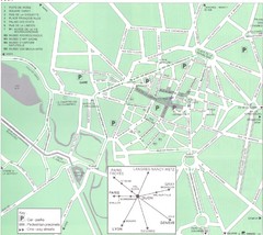
Dijon Map
184 miles away
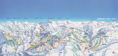
Adelboden-Lenk (Frutigen) Ski Trail Map
Trail map from Adelboden-Lenk (Frutigen), which provides downhill skiing.
184 miles away
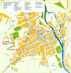
Saalfeld Tourist Map
Tourist street map of Saalfeld
184 miles away
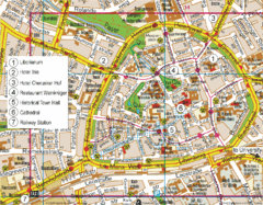
Paderborn Center Map
Street map of Paderborn city center
184 miles away
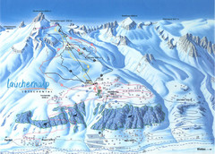
Lötschental (Wiler) Ski Trail Map
Trail map from Lötschental (Wiler), which provides downhill skiing.
185 miles away

Gstaad Mountain Rides Ski Trail Map
Trail map from Gstaad Mountain Rides.
185 miles away
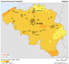
Solar Radiation Map of Belgium
Solar Radiation Map Based on high resolution Solar Radiation Database: SolarGIS. On the Solar Map...
185 miles away
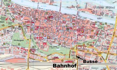
Regensburg Tourist Map
Tourist map of Regensburg city center
186 miles away
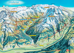
Lötschental Lauchernalp Summer Trail Map
Summer trail map of Lötschental Valley area. Shows hiking trails, towns, and mountains. The...
186 miles away
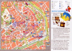
Erfurt Tourist Map
Tourist map of Erfurt, Germany. Shows points of interest. In German. Scanned.
187 miles away
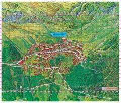
Bettmeralp Summer Map
Summer tourist map of town of Bettmeralp, Switzerland. With reference grid.
188 miles away
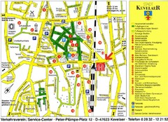
Kevelear Tourist Map
Tourist map of Kevelear
188 miles away
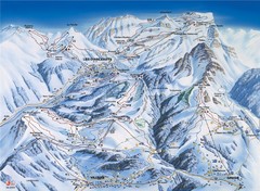
Villars-Gryon Ski Trail Map
Trail map from Villars-Gryon.
188 miles away
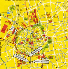
Gottingen City Map
City map of Gottingen with school buildings highlighted
189 miles away
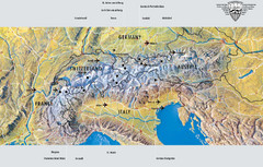
Alps Top Resort Town Map
Shows 12 top 4 season mountain resort towns in the Alps in France, Switzerland, Austria, and Italy.
189 miles away

Goettingen Map
map of downtown Goettingen.
189 miles away
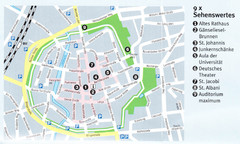
Gottingen Map
189 miles away
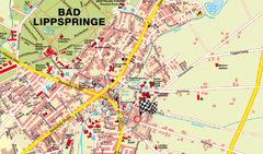
Bad Lippspringe Map
Street map of Bad Lippspringe
189 miles away
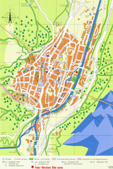
Mittenwald Tourist Map
Tourist street map
189 miles away
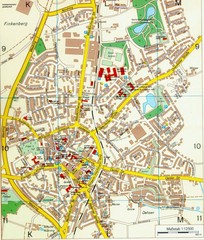
Ennirgerloh Map
Street map of Ennirgerloh
189 miles away
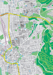
Göttingen City Map
City map of Göttingen, Germany
189 miles away
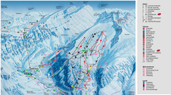
Leukerbad Ski Trail Map
Trail map from Leukerbad.
189 miles away
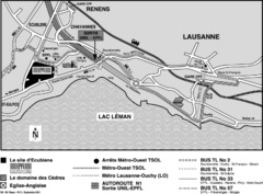
EPFL Lausanne Switzerland Map
Map of the EPFL University and bus routes from Lausanne to get there.
189 miles away
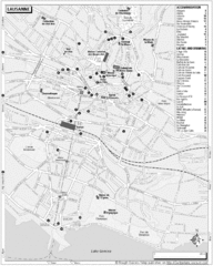
Lausanne Tourist Map
Tourist map of central Lausanne, Switzerland on the shore of Lake Geneva. Shows accommodation...
190 miles away

