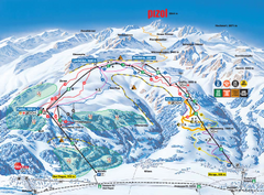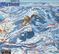
Brunni-Alpthal Ski Trail Map
Trail map from Brunni-Alpthal.
114 miles away
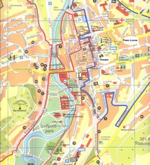
Bad Kissingen Tourist Map
Tourist map of Bad Kissingen
115 miles away
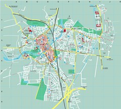
Dachau City Map
City street map of Dachau
115 miles away

Zeil am Main Tourist Map
Tourist street map of Zeil am Main and surrounding region
116 miles away
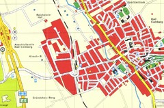
Bad Camberg Map
Street map of town of Bad Camberg
117 miles away
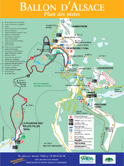
Ballon d’Alsace Ski Trail Map
Trail map from Ballon d’Alsace.
117 miles away
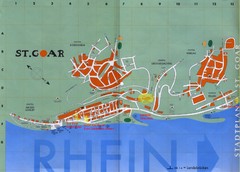
Sankt Goar Town Map
Town map of Sankt Goar, Germany. Sankt Goar is a picturesque little town on the Rhein river, about...
117 miles away
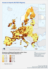
Travel Times to Airports in Europe Map
Shows proportion of car travel time to nearby airports across Western Europe
118 miles away
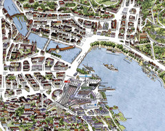
Lucerne Tourist Map
Tourist map of central Lucerne, Switzerland. 3D view showing buildings.
118 miles away
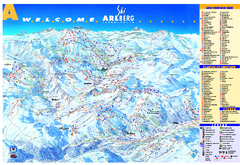
St Anton Region Ski map
Panoramic ski map covers St. Anton, St. Christoph, St. Jakob, Stuben, Zurs, Zug, Lech, and Oberlech...
118 miles away
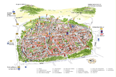
Neumarkt in der Oberpfalz Map
Tourist map of city center of Neumarkt in der Oberpfalz, Germany. In German
118 miles away
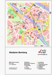
Bamberg Tourist Map
Tourist map of downtown Bamberg
119 miles away
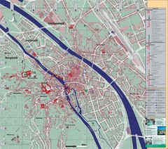
Bamberg City Map
City map of Bamberg, Germany
119 miles away
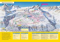
Braunwald Ski Trail Map
Trail map from Braunwald.
121 miles away
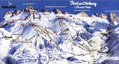
Arlberg – St Anton Ski Trail Map
Trail map from Arlberg – St Anton.
121 miles away

Butzbach Tourist Map
Tourist map of city of Butzbach
122 miles away
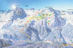
Montafon Ski Trail Map
Trail map from Montafon.
122 miles away
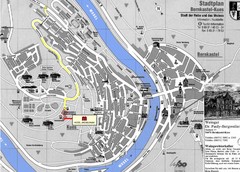
Bernkastel City Map
City map of Bernkastel-Kues with hotels and attractions
122 miles away
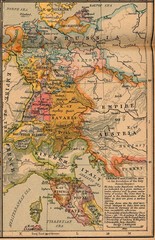
Germany Italy 1806 Map
Germany and Italy in 1806 at the dissolution of the Roman Empire
123 miles away
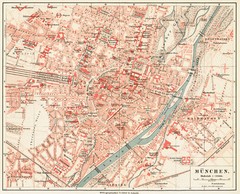
Munich Map
124 miles away
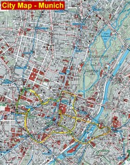
Munich City Map
City map of Munich, Germany
124 miles away
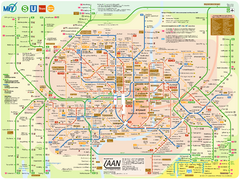
Munich Public Transportation Map
124 miles away
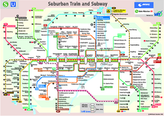
Munich public transportation system Map
This MVV network map, probably the best known one, shows all lines and stops for the urban rail and...
124 miles away
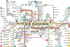
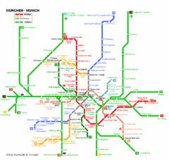
Munich Metro Map
Metro map of Munich, Germany. In German.
124 miles away
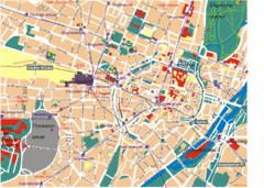
Munich Tourist Map
Tourist map of central Munich (München), Germany.
124 miles away
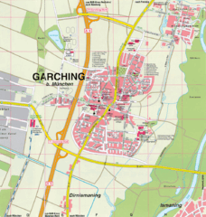
Garching bei München Map
Street map of Garching bei München
125 miles away
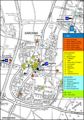
Garching Tourist Map
Tourist map of Garching bei Munchen, Germany. Shows hotels, restaurants and the most important bus...
125 miles away
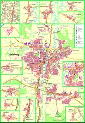
Mainburg Map
Street map of Mainburg city and surrounding region
127 miles away
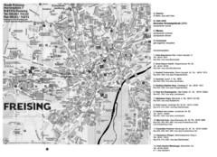
Freising City Map
127 miles away
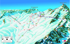
Garmisch Partenkirchen Ski Trail Map
Trail map from Garmisch Partenkirchen.
127 miles away
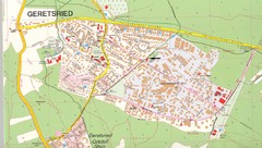
Geretsried Map
Street map of Geretsried
127 miles away
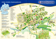
Bad Konigshofen Toursit Map
Tourist map of Bad Konigshofen
129 miles away
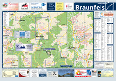
Braunfels Tourist Map
Tourist map of Braunfels and surrounding area
129 miles away
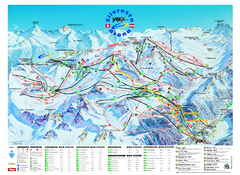
Ischgl – Galtur Ski Trail Map
Trail map from Ischgl – Galtur.
131 miles away
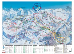
Ischgl – Galtur Ski Trail Map
Trail map from Ischgl – Galtur.
131 miles away

