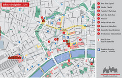
Frankfurt Tourist Map
Tourist map of central Frankfurt, Germany. Shows points of interest. In English and German.
100 miles away
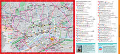
Frankfurt City Map
100 miles away
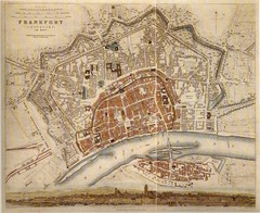
Frankfurt City Map 1840
100 miles away
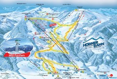
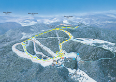
Bolsterlang Ski Trail Map
Trail map from Bolsterlang.
102 miles away
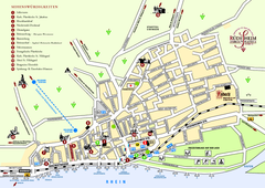
Rüdesheim Tourist Map
Tourist street map of Rüdesheim
102 miles away
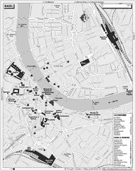
Basel Tourist Map
Tourist map of Basel, Switzerland. Shows museums, accommodations, eating, and drinking spots
102 miles away
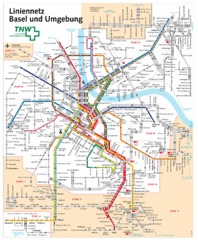
Basel Light Rail and Bus Map
102 miles away
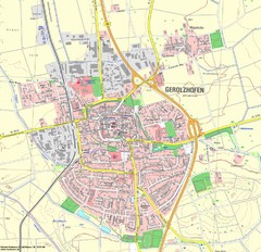
Gerolzhofen Map
Detailed street map of Gerolzhofen
103 miles away
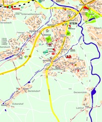
Stein Map
Street map of Stein and surrounding region
104 miles away
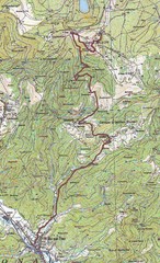
Grand Ballon Race Course Map
Topo course map of the 13.2 km running race to the summit of Grand Ballon
105 miles away
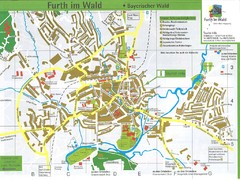
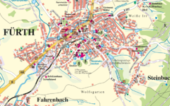
Furth Tourist Map
Tourist street map of Furth
105 miles away
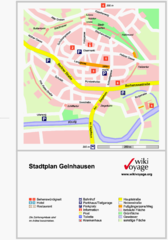
Gelnhausen Center Map
Tourist map of Gelnhausen center
105 miles away
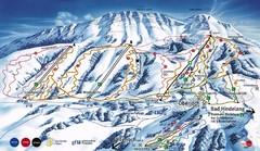
Oberjoch-Unterjoch Ski Trail Map
Trail map from Oberjoch.
105 miles away
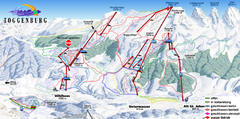
Toggenburg Ski Trail Map
Trail map from Toggenburg.
105 miles away
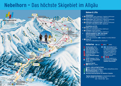
Oberstdorf Ski Trail Map
Trail map from Oberstdorf.
106 miles away
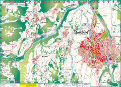
Oberstdorf City Map
City map of Oberstdorf, Germany and surrounding area. Shows buildings and ski lifts. In German.
106 miles away
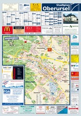
Oberursel Tourist Map
Tourist map of Oberursel and surrounding region
107 miles away
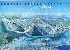
Gérardmer Ski Trail Map
Trail map from Gérardmer.
107 miles away
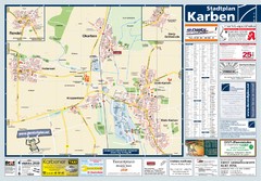
Karben Tourist Map
Tourist map of Karben and surrounding region
107 miles away
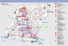
Nuremberg Tourist Map
Tourist map of old city Nuremberg, Germany. Shows tourist points of interest and a tourist walking...
108 miles away
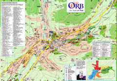
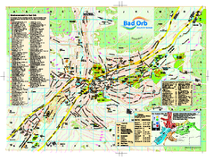
Bad Orb Map
108 miles away
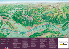
Liechtenstein Tourist Map
Tourist map of the country of Liechtenstein. Panoramic view shows all towns, trails, and mountains.
108 miles away
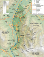
Liechtenstein topography Map
108 miles away
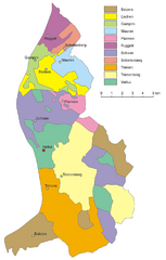
Liechtenstein Tourist Map
108 miles away
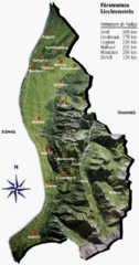
Liechtenstein Tourist Map
108 miles away
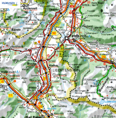
Liechtenstein road Map
108 miles away
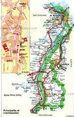
Liechtenstein Principality Map
109 miles away
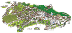
Vaduz Town Map
Tourist map of town of Vaduz, Liechtenstein. Panoramic view shows buildings and streets.
109 miles away
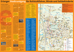
Erlangen Tourist Map
Tourist street map of Erlangen
110 miles away
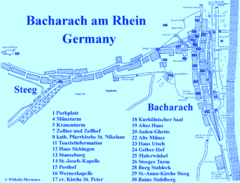
Bacharach Tourist Map
Tourist map of town of Bacharach
110 miles away
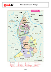
Liechtenstein Regional Map
Country map with detail of regional divides
111 miles away
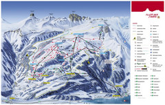
Flumserberg Ski Trail Map
Trail map from Flumserberg.
111 miles away
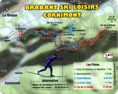
Cornimont Ski Trail Map
Trail map from Cornimont.
112 miles away
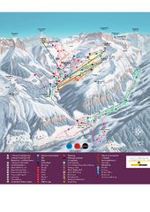
Malbun Ski Trail Map
Ski trail map of area surrounding Malbun, Liechtenstein. Also shows walking routes.
113 miles away

Western Strasbourg Tourist Map
113 miles away

