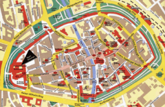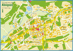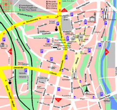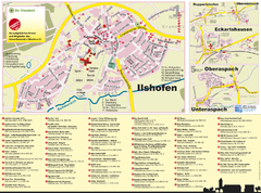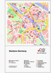
Bamberg Tourist Map
Tourist map of downtown Bamberg
0 miles away
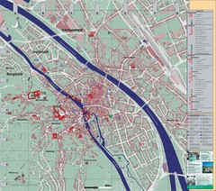
Bamberg City Map
City map of Bamberg, Germany
0 miles away
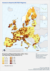
Travel Times to Airports in Europe Map
Shows proportion of car travel time to nearby airports across Western Europe
14 miles away

Zeil am Main Tourist Map
Tourist street map of Zeil am Main and surrounding region
15 miles away
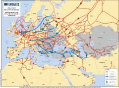
Europe Proposed Natural Gas Pipelines Map
The priority axes for natural gas pipelines, which involve INOGATE Participating Countries and...
20 miles away
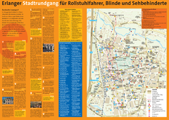
Erlangen Tourist Map
Tourist street map of Erlangen
21 miles away
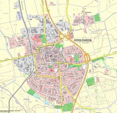
Gerolzhofen Map
Detailed street map of Gerolzhofen
24 miles away
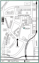
Kuala Lumpur Hotel Map
27 miles away
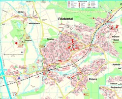
Rödental Map
Street map of city of Rödental
28 miles away
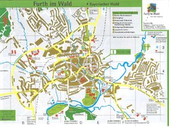
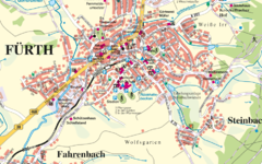
Furth Tourist Map
Tourist street map of Furth
29 miles away
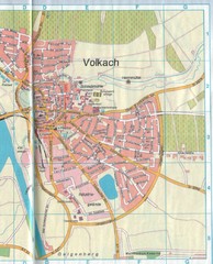
Volkach Map
Street map of town of Volkach
29 miles away
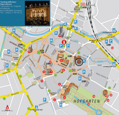
Bayreuth Tourist Map
Tourist map of Bayreuth town center
31 miles away
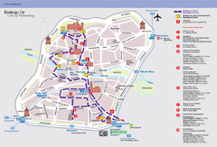
Nuremberg Tourist Map
Tourist map of old city Nuremberg, Germany. Shows tourist points of interest and a tourist walking...
32 miles away
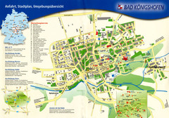
Bad Konigshofen Toursit Map
Tourist map of Bad Konigshofen
34 miles away
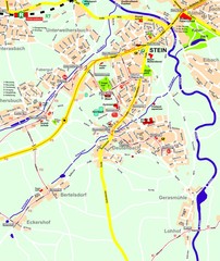
Stein Map
Street map of Stein and surrounding region
34 miles away
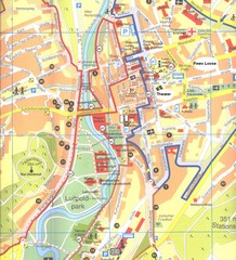
Bad Kissingen Tourist Map
Tourist map of Bad Kissingen
42 miles away
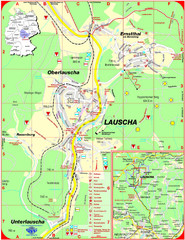
Lauscha Map
Street map of town of Lauscha and surrounding area
43 miles away
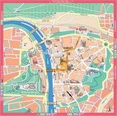
Würzburg Tourist Map
Tourist street map of Würzburg center
43 miles away
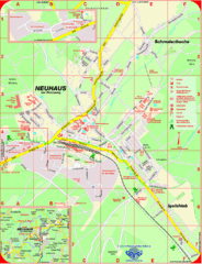
Neuhaus am Rennweg Map
Street map of Neuhaus am Rennweg
44 miles away
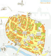
Herrieden Map
Street map of town center of Herrieden
49 miles away
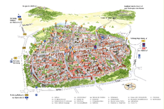
Neumarkt in der Oberpfalz Map
Tourist map of city center of Neumarkt in der Oberpfalz, Germany. In German
50 miles away
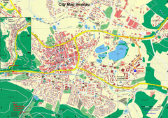
Ilmenau City Map
City map of Ilmenau, Germany
55 miles away
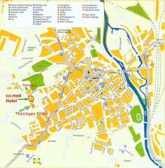
Saalfeld Tourist Map
Tourist street map of Saalfeld
56 miles away
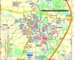
Windischeschenbach Tourist Map
Tourist street map of Windischeschenbach
57 miles away
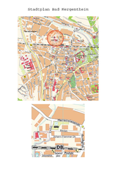
Bad Mergentheim Map
Street map of Bad Mergentheim
57 miles away
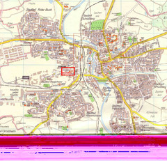
Crailsheim Map
Street map of Crailsheim region
64 miles away
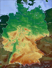
Germany Topo Map
Topographical map of Germany. Shaded by elevation in meters. Also shows major German cities.
65 miles away
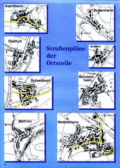
Treuchtlingen Districts Map
Street map of districts within the Treuchtlingen region
65 miles away
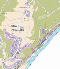
Stadtprozelten Map
Stadtprozelten street map
66 miles away
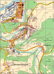
Pappenheim Map
Street map of Pappenheim
67 miles away
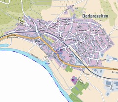
Dorfprozelten Map
Street map of Dorfprozelten
68 miles away

Fulda-city map
70 miles away


 Explore Maps
 Map Directory
