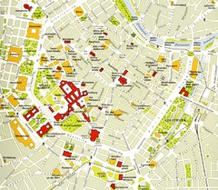
Vienna centre Map
446 miles away
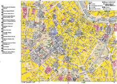
Vienna Tourist Map
Tourist street map of Vienna
446 miles away
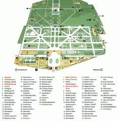
Schonbrunn Palace map
From Wikipedia: Schonbrunn Palace (German: Schloss Schonbrunn) in Vienna is one of the most...
447 miles away
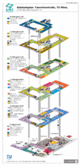
Vienna University of Technology Building Map
Building map of the Institute of Software Technology and Interactive Systems at the Vienna...
447 miles away
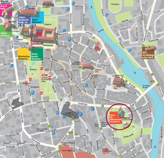
Kempten im Allgäu Tourist Map
Tourist street map of Kempten im Allgäu
447 miles away
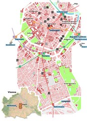
Vienna City Center Map
Map of Vienna city center
447 miles away
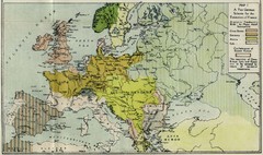
Extinction of France Map 1918
Shows pan-German scheme for the Extinction of France, 1918. As given in "Frankreich's...
447 miles away
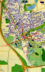
Bad Durrheim Map
Street map of Bad Durrheim
448 miles away
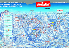
Wilder Kaiser Ski Trail Map
Trail map from Wilder Kaiser – Gosau, Scheffau, Ellmau.
449 miles away
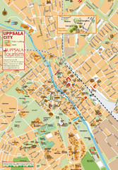
Uppsala Tourist Map
Tourist map of central Uppsala, Sweden. Shows public buildings, hotels, and other points of...
450 miles away
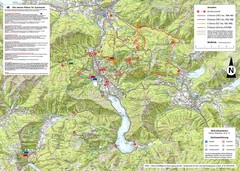
Central Austria Hiking Map
Large map of hiking and emergency services.
450 miles away

Drohiczyn Podlaskie Kayak Map
Kayak trips on the bug river highlighted on the map of Drohiczyn, Podlaskie, Poland.
451 miles away
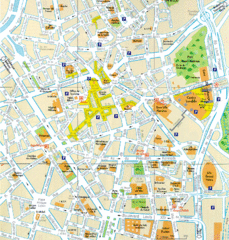
Lille Center Map
Street map of Lille city center
451 miles away
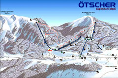
Ötscher Lackenhof Ski Trail Map
Trail map from Ötscher Lackenhof.
451 miles away
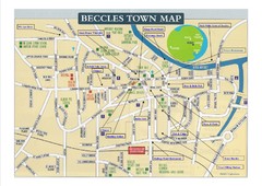
Beccles Town Map
451 miles away
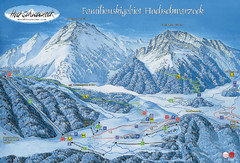
Berchtesgadener Land Ski Trail Map
Trail map from Berchtesgadener Land.
452 miles away

Alsace - Route du Vin Map
452 miles away
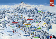
Annaberg Ski Trail Map
Trail map from Annaberg.
452 miles away
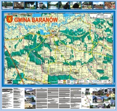
Baranow count wall map, PL Map
Baranow commune in Pulawy county, PL 3D big size wall map, surrounded by photos from Baranow area...
453 miles away
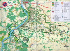
Kazimierski Landscape Park Map
Part of one of main ecological corridors in Europe enabling the birds to nest and migrate.
454 miles away
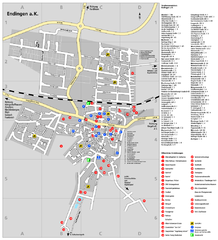
Endingen Tourist Map
Tourist street map of Endingen center
454 miles away
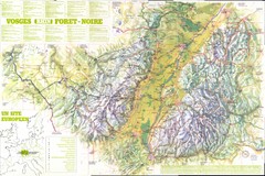
Vosges panorama Map
454 miles away
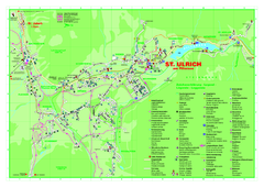
St. Ulrich am Pillersee Map
Village map of St. Ulrich am Pillersee, Austria
454 miles away
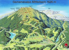
Mitterbach-Gemeindalpe Summer Ski Trail Map
Trail map from Mitterbach-Gemeindalpe.
455 miles away
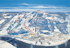
Branäs East Side Ski Trail Map
Trail map from Branäs.
456 miles away
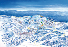
Branäs West Side Ski Trail Map
Trail map from Branäs.
456 miles away
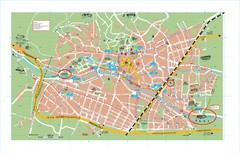
Baden City Map
City map of Baden, Austria. Shows sites of Sommer-Eurovision Sports, to take place in Baden from...
457 miles away
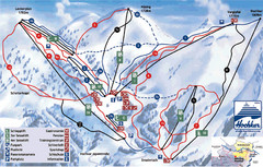
Hochkar Ski Trail Map
Trail map from Hochkar.
457 miles away

Ribeauville Map
458 miles away
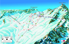
Garmisch Partenkirchen Ski Trail Map
Trail map from Garmisch Partenkirchen.
458 miles away
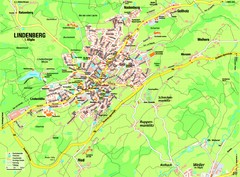
Lindenberg im Allgäu Map
Street map of Lindenberg
459 miles away
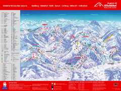
Kitzbuhel Ski Trail Map
Trail map from Kitzbuhel.
459 miles away
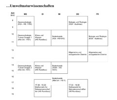
Test Map
460 miles away
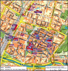
Frieburg Tourist Map
460 miles away
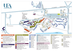
U. of East Anglia Map
460 miles away
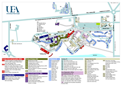
University of East Anglia Map
460 miles away

Cawston, Norfolk Guide Map
461 miles away
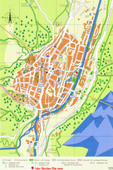
Mittenwald Tourist Map
Tourist street map
461 miles away

