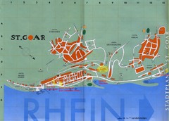
Sankt Goar Town Map
Town map of Sankt Goar, Germany. Sankt Goar is a picturesque little town on the Rhein river, about...
331 miles away
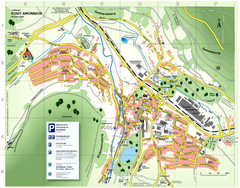
Amorbach Tourist Map
Tourist map of Amorbach
331 miles away
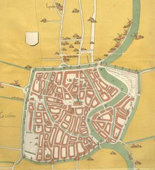
Haarlem City Map
Haarlem city center map from 1550
332 miles away
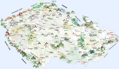
Czech Republic Castle map
Castle map of the Czech Republic
332 miles away
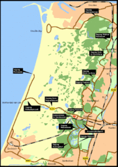
Nationaal Park Zuid-Kennemerland Map
Park overview map of Zuid-Kennemerland National Park (NPZK), Netherlands
333 miles away
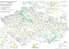
Elevation Railway Map of Czech Republic
Elevation of railways and main stations in Czech republic. Blue numbers show elevation of stations...
333 miles away
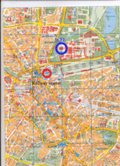
Eindhoven City Map
City map of center of Eindhoven, The Netherlands
333 miles away
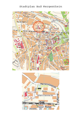
Bad Mergentheim Map
Street map of Bad Mergentheim
333 miles away
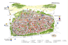
Neumarkt in der Oberpfalz Map
Tourist map of city center of Neumarkt in der Oberpfalz, Germany. In German
334 miles away
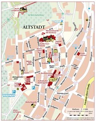
Oppenheim Altstadt Map
Street map of Altstadt area Oppenheim
334 miles away

Oppenheim Map
Street map of city of Oppenheim
334 miles away
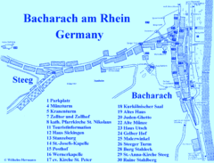
Bacharach Tourist Map
Tourist map of town of Bacharach
335 miles away
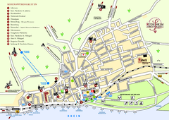
Rüdesheim Tourist Map
Tourist street map of Rüdesheim
336 miles away
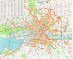
Kaliningrad 1:27000 Map
340 miles away
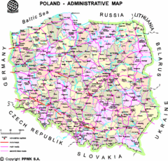
Poland Map
Map of Poland that includes all freeways, cities, districts and surrounding countries.
340 miles away
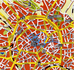
Aachen Center Map
Tourist street map of Aachen city center
343 miles away
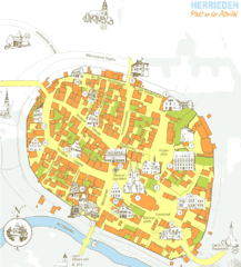
Herrieden Map
Street map of town center of Herrieden
343 miles away
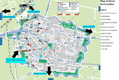
Leiden Tourist Map
Tourist map of downtown Leiden, The Netherlands. Shows some hotels and other points of interest.
344 miles away
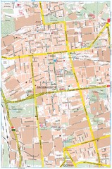
Lódź Tourist Map
Tourist map of central Lódź, Poland. Shows points of interest.
345 miles away
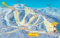
Arber Ski Trail Map
Trail map from Arber.
346 miles away
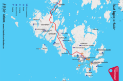
Hvaler Island Hopping Map
Tourist map of island hopping in Hvaler, Norway. Shows accommodations, beaches, camping, guest...
347 miles away

Bad Münster am Stein-Ebernburg Tourist Map
Tourist street map of Bad Münster am Stein-Ebernburg
348 miles away
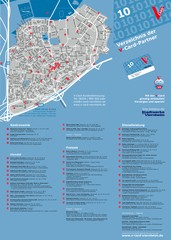
Viernheim Tourist Map
Tourist map of city of Viernheim
349 miles away
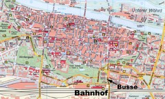
Regensburg Tourist Map
Tourist map of Regensburg city center
350 miles away
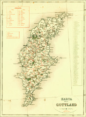
Gotland Island Map
Largest island in Sweden
351 miles away
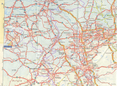
Maastricht Map
Highway map of Maastricht area
352 miles away
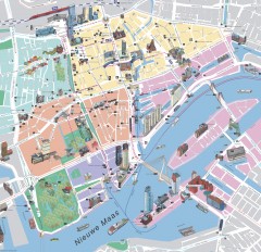
Rotterdam Tourist Map
Tourist map of Rotterdam, Netherlands. Largest port in Europe.
352 miles away
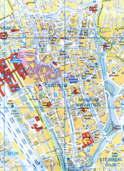
Utrecht, Netherlands Tourist Map
353 miles away
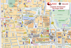
Den Haag, Netherlands Tourist Map
353 miles away
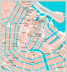
Den Haag, Netherlands Tourist Map
353 miles away
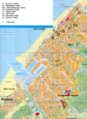
The Hague Hotel Map
Hotel map of The Hague, Netherlands. Shows tram stops. Congress centre highlighted.
353 miles away
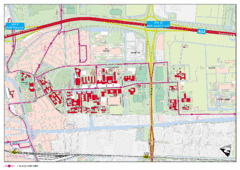
Delft University of Technology Campus Map
353 miles away
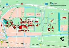
Delft University of Technology Map
353 miles away
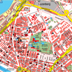
Mannheim Tourist Map
Tourist map of central Mannheim, Germany. Shows points of interest.
353 miles away
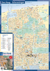
The Hague Tourist Map
Tourist map of The Hague, Netherlands. Shows points of interest.
353 miles away

