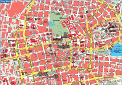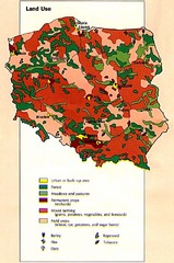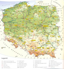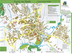
Furth Tourist Map
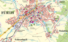
Tourist street map of Furth
323 miles away
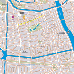
De Pijp Neighborhood Map
De Pijp neighborhood in Amsterdam map
323 miles away
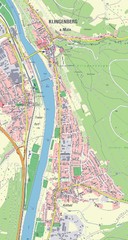
Klingenberg Map
Map of Klingenberg and surrounding region
323 miles away
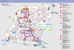
Nuremberg Tourist Map
Tourist map of old city Nuremberg, Germany. Shows tourist points of interest and a tourist walking...
324 miles away
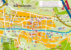
Bad Neuenahr-Ahrweiler Tourist Map
Tourist map of Bad Neuenahr-Ahrweiler
324 miles away
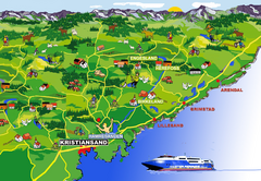
Kristiansand Area Coast Map
Stylized map shows major towns on and near coast near Kristiansand, Norway. Shows Kristiansand...
325 miles away
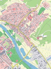
Grossheubach Map
Street map of Grossheubach
326 miles away
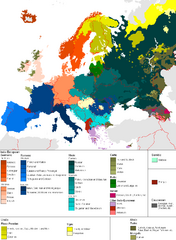
Languages of Europe Map
A map of the languages in Europe and where they originate.
326 miles away
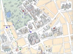
Darmstadt City Map
City map of Darmstadt, Germany. Shows major buildings and the Herrngarten.
326 miles away
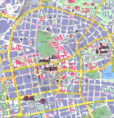
Darmstadt Tourist Map
Tourist street map of Darmstadt
327 miles away
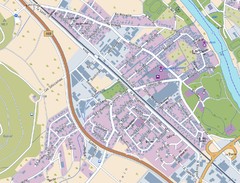
Kleinheubach Map
Street map of Kleinheubach
327 miles away
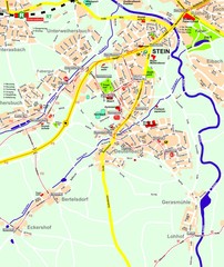
Stein Map
Street map of Stein and surrounding region
327 miles away
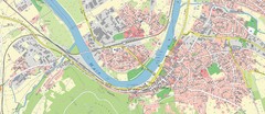
Miltenberg Map
Map of Miltenberg and surrounding area
327 miles away
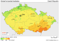
Solar Radiation Map of Czech republic
Solar Radiation Map Based on high resolution Solar Radiation Database: SolarGIS. On the Solar Map...
328 miles away
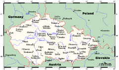
Czech Republic Tourist Map
328 miles away
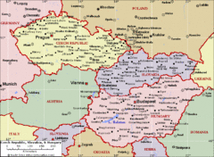
Czech Republic Tourist Map
328 miles away
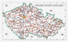
Czech Republic Country Map
Map of Czech Republic, roads, and major cities.
328 miles away
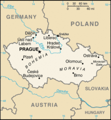
Czech Republic Country Map
Country of Czech Republic, and surrounding countries.
328 miles away
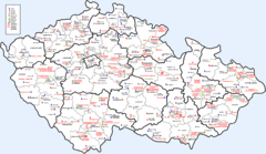
Czech Castles Map
Shows castles in the Czech Republic
328 miles away
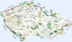
Czech Republic Tourist Map
Tourist map of the Czech Republic
328 miles away
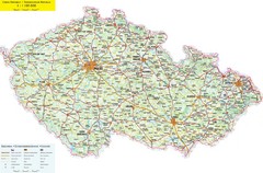
Czech Republic Road Map
Road map of the Czech Republic. Legend in Czech, German, and English.
328 miles away
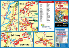
Neunburg vorm Wald District Map
Tourist street map of districts of Neunburg
328 miles away
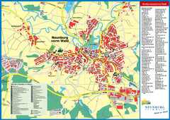
Neunburg vorm Wald Map
Tourist street map of Neunburg vorm Wald
328 miles away
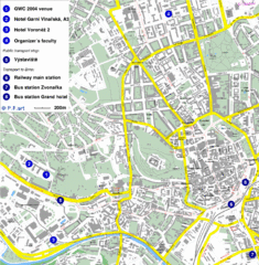
Czech Republic Tourist Map
Czech Republic Tourist Map. Includes roads, landmarks and street names.
328 miles away
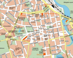
Linkoping City Center Map
Map of city center
328 miles away
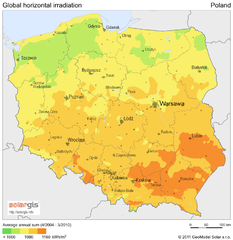
Solar Radiation Map of Poland
Solar Radiation Map Based on high resolution Solar Radiation Database: SolarGIS. On the Solar Map...
328 miles away
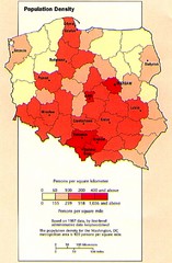
Poland Population Density Map
Map of Poland's population density
328 miles away
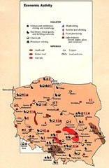
Poland Economic Activity Map
Map of Poland's economic activity
328 miles away

Poland Map
Map of Poland showing major roads, railroads, cities and boundaries.
328 miles away
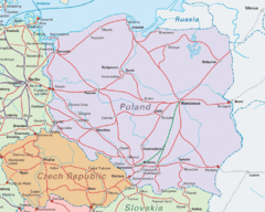
Interrail Routes in Central Europe Map
Map shows railway routes for Poland, Germany, Czech Republic and Slovakia.
328 miles away

Poland Country Map
CIA Atlas of Eastern Europe - PCL Map Collection, University of Texas at Austin.
328 miles away
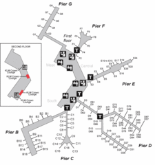
Amsterdam Airport Schipol Map
328 miles away

