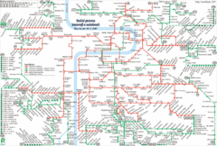
Prague Night Tram and Bus Lines Map
293 miles away
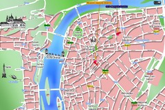
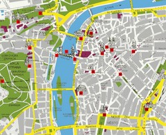
Prague Old Town Map
Tourist map of Old Town Prague, Czech Republic
293 miles away
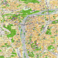
Prague City Center Map
Street map of Prague's city center. Shows tourist points of interest including landmark...
293 miles away
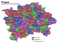
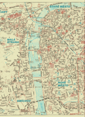
Prag Districts Map
293 miles away
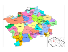
Prag Districts Map
293 miles away
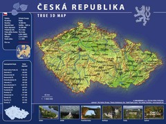
Prague, Czech Republic Tourist Map
293 miles away
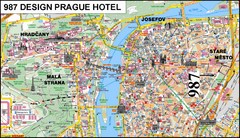
Prague, Czech Republic Tourist Map
293 miles away
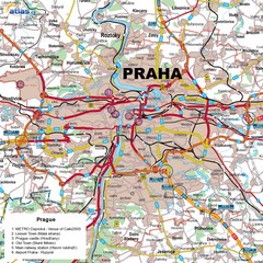
Prague, Czech Republic Tourist Map
293 miles away
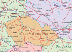
Czech Republic Tourist Map
293 miles away
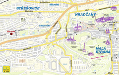
Prague Tourist Map
293 miles away
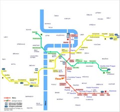
Prague Hotel Map
293 miles away
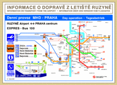
Prague Airport to Metro Map
293 miles away
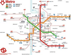
Prague Metro Map
293 miles away
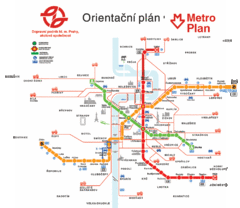
Prague Metro Map
293 miles away
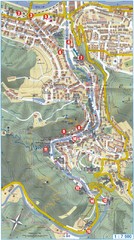
Transportation near Prague Map
Locations and destinations of transportation in and near Prague
293 miles away
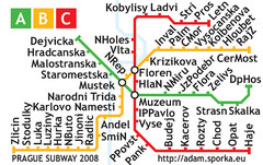
Prague Metro Map 2008 (for small displays)
Small version of Prague metro map of mobile phones, etc.
293 miles away
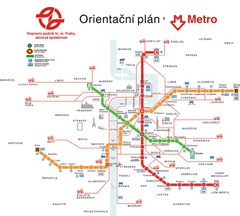
Prague Public Transport Map
Public transportation in Prague
293 miles away
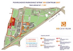
BB Centrum Map (Czech)
BB Centrum is one of the largest and most successful developments in the Czech Republic. This new...
293 miles away
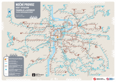
Tram Night Operation Map
293 miles away
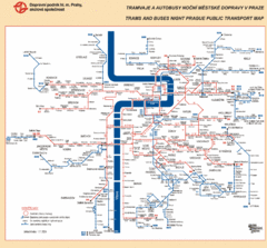
Prague Night Public Bus Tram Map
293 miles away
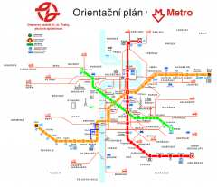
Prague Metro and Strret Car Map
Overview of Prague's metro and bus lines. Date unknown.
293 miles away
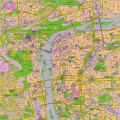
Prague Tourist Map
Tourist map of Prague, Czech Republic.
293 miles away
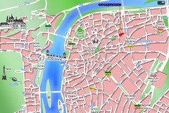
Old Prague Tourist Map
Simplified tourist map of old Prague, Czech Republic. Shows major landmarks, metro stations, and...
293 miles away
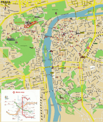
Prague (Praha) Tourist Map
Guide to major streets, points of interest and Metro
293 miles away
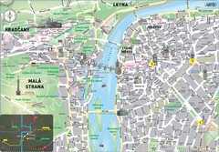
Prague Historical Center Map
Tourist map of the historical center of Prague, Czech Republic. Shows points of interest.
293 miles away
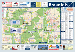
Braunfels Tourist Map
Tourist map of Braunfels and surrounding area
293 miles away
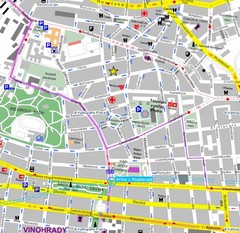
Praha Tourist Map
294 miles away
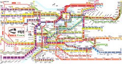
Prague Metro Map
Guide to Prague public transportation
294 miles away
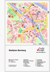
Bamberg Tourist Map
Tourist map of downtown Bamberg
295 miles away
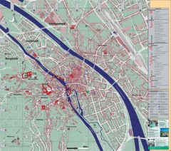
Bamberg City Map
City map of Bamberg, Germany
295 miles away
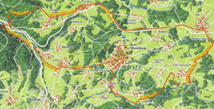
Bad Marienberg Biking Route Map
Map of biking route around Bad Marienberg region
296 miles away
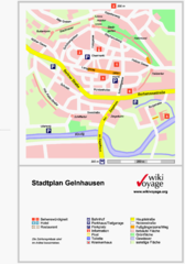
Gelnhausen Center Map
Tourist map of Gelnhausen center
296 miles away
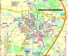
Windischeschenbach Tourist Map
Tourist street map of Windischeschenbach
296 miles away
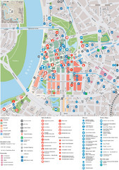
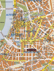
Dusseldorf Tourist Map
Tourist map of central Düsseldorf, Germany. Shows points of interest.
299 miles away
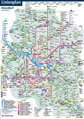
Dusseldorf Public Transport Network Map
Official Rheinbahn map shows municipal-rail, light rail and tramway system, as well as a close-knit...
299 miles away

