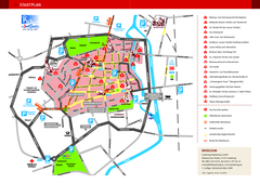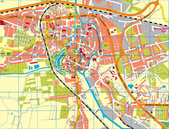
Rostock Map
less than 1 mile away
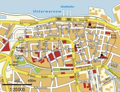
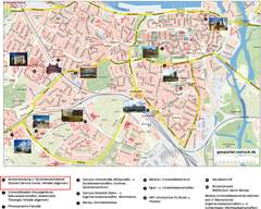
Rostock Center Map
Street map of town center
less than 1 mile away

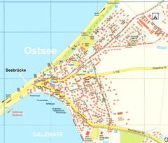
Warnemunde 1 Map
6 miles away
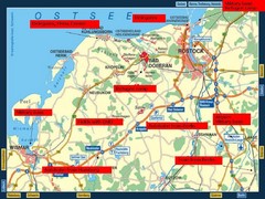
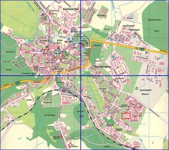
Rostok Region Tourist Map
11 miles away
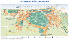
Kühlungsborn Map
Map of Kühlungsborn
16 miles away
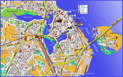
Stralsund Tourist Map
Tourist map of Stralsund
42 miles away
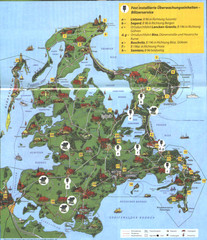
Rügen Tourist Map
Tourist map of the island of Rügen, Germany's largest island.
57 miles away
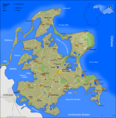
Rügen Map
Shows shaded population density of island of Rugen, Germany
58 miles away
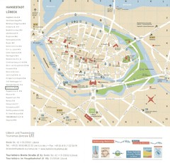
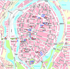
Luebeck Tourist Map
Street tourist map of city center
61 miles away
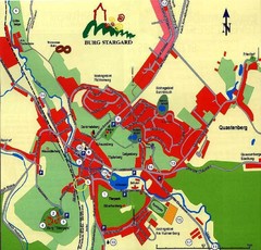
Burg Stargard Tourist Map
tourist map of Burg Stargard
63 miles away
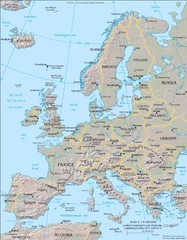
Europe Physical Map
71 miles away
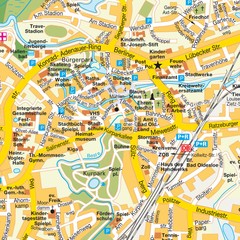
Bad Oldeshloe Map
Street map of downtown Bad Oldeshloe
74 miles away
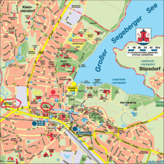
Bad Segeberg Tourist Map
Tourist street map of bad Segeberg
75 miles away

Kiel Map
82 miles away
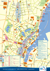
Kiel Tourist Map
Tourist map of Kiel, Germany. Shows streets, hotels, and points of interest.
82 miles away
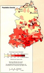
Eastern Germany Population Density Map
Map of Eastern Germany's population density
83 miles away
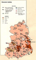
East Germany Economic Activity Map
Map of East Germany's economic activity
84 miles away
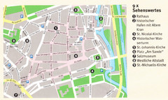
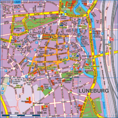
Luneburg Map
91 miles away
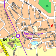
Quickborn Center Map
Street map of Quickborn town center
94 miles away
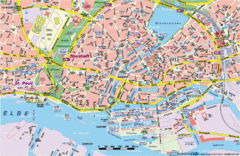
Hamburg Street Map
Street map of central Hamburg, Germany. Shows many canals.
95 miles away
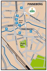
Pinneberg Center Map
Map of Pinneberg town center
100 miles away
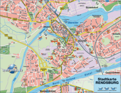
Rendsburg Map
Street map of city of Rendsburg
101 miles away
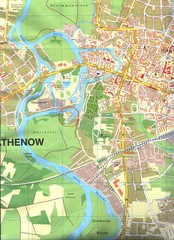
Rathenow Map
Street map of town of Rathenow
103 miles away
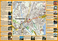
Oranienburg Tourist Map
Tourist street map of Oranienburg
103 miles away
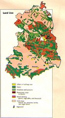
East Germany Land Use Map
Map of East Germany's land use
106 miles away

