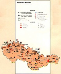
Czechoslovakia Economic Activity Map
Map of economic activity throughout region
243 miles away
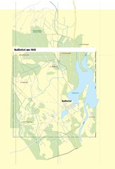
Naßlettel Map
245 miles away
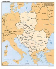
Eastern European Map
Map of Eastern Europe, Poland to Bulgaria
250 miles away
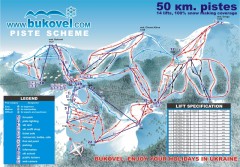
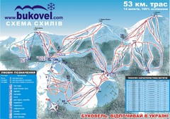
'Bukovel' Ski Resort Piste Map
Bukovel Ski Resort Piste Scheme. Near Yaremcha, Ukraine
254 miles away
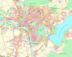
Kaunas Map
City map of Kaunus, Lithiania
257 miles away
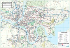
Kaunas City Map
257 miles away
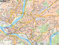
Kaunas Tourist Map
Tourist map of central Kaunas, Lithuania. Shows points of interest.
258 miles away
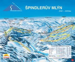
Špindlerův Mlýn Ski Trail Map
Trail map from Špindlerův Mlýn.
259 miles away
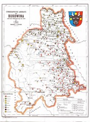
Bukovina Ethnographic Map
Ethnographic map of Bukovina, currently split between Romania and Ukraine. Map as of 1910. In...
260 miles away
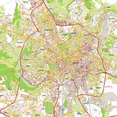
Brno Tourist Map
Tourist map of Brno, Czech Republic. Shows central Brno and surrounding area.
265 miles away
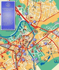
Nitra City Map
City map of central Nitra, Slovakia
265 miles away
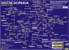
Brno Czech Republic Mass Transit Map
Mass Transit map showing all routes and stops in Brno, Czech Republic.
266 miles away
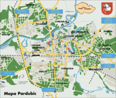
Pardubice Tourist Map
Tourist map of Pardubice, Czech Republic
267 miles away
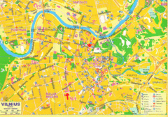
Vilnius Map Big
273 miles away
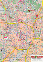
Debrecen Tourist Map
Tourist map of Debrecen Terkep, Hungary.
273 miles away
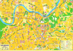
Vilnius Tourist Map
Tourist map of central Vilnius, Lithuania. Shows hotels, museums, and other points of interest.
273 miles away
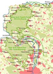
Duna-Ipoly Nemzeti Park Map
Overview map of Duna-Ipoly Nemzeti Park (Danube-Ipoly National Park) north of Budapest, Hungary
276 miles away
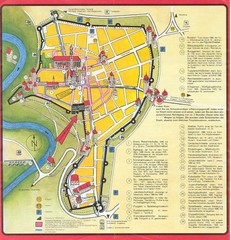
Rothenburg Tourist Map
Tourist map of town of Rothenburg
280 miles away
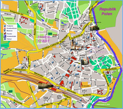
Goerlitz Tourist Map
Tourist street map of Goerlitz
281 miles away
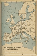
Universities of Europe Historical Map
282 miles away
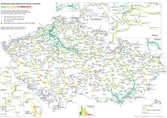
Elevation Railway Map of Czech Republic
Elevation of railways and main stations in Czech republic. Blue numbers show elevation of stations...
283 miles away
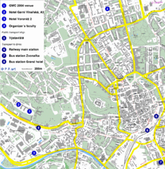
Czech Republic Tourist Map
Czech Republic Tourist Map. Includes roads, landmarks and street names.
285 miles away
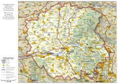
Duna-Ipoly Nemzeti National Park Map
Reference map of Duna-Ipoly Nemzeti National Park and surrounding area north of Budapest, Hungary
285 miles away
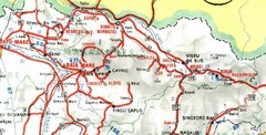
Maramures Map
285 miles away
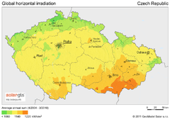
Solar Radiation Map of Czech republic
Solar Radiation Map Based on high resolution Solar Radiation Database: SolarGIS. On the Solar Map...
286 miles away
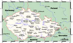
Czech Republic Tourist Map
286 miles away
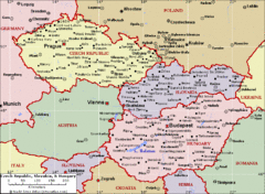
Czech Republic Tourist Map
286 miles away
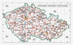
Czech Republic Country Map
Map of Czech Republic, roads, and major cities.
286 miles away
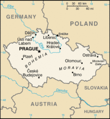
Czech Republic Country Map
Country of Czech Republic, and surrounding countries.
286 miles away
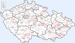
Czech Castles Map
Shows castles in the Czech Republic
286 miles away
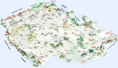
Czech Republic Tourist Map
Tourist map of the Czech Republic
286 miles away
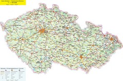
Czech Republic Road Map
Road map of the Czech Republic. Legend in Czech, German, and English.
286 miles away
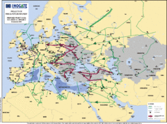
Proposed European Crude Oil Pipelines Map
Shows pan-European proposed priority axes for crude oil pipelines
286 miles away
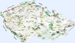
Czech Republic Castle map
Castle map of the Czech Republic
290 miles away
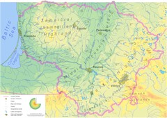
Lithuania physical Map
292 miles away
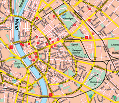
Budapest Street Map
Street map of central Budapest, Hungary.
295 miles away
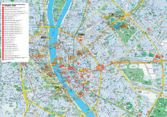
Budapest Hotel Map
Tourist map of Budapest, Hungary. Shows all hotels.
295 miles away
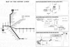
Central European University Metro and Bus Line Map
295 miles away

