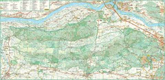
Kampinoski National Park Map
Kampinoski National Park
68 miles away
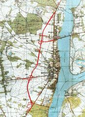
Serock Map
Town map of Serock, Poland. Not very much detail.
74 miles away

Drohiczyn Podlaskie Kayak Map
Kayak trips on the bug river highlighted on the map of Drohiczyn, Podlaskie, Poland.
82 miles away
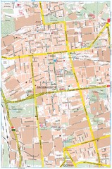
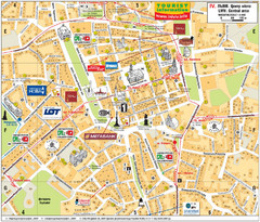
Lódź Tourist Map
Tourist map of central Lódź, Poland. Shows points of interest.
88 miles away
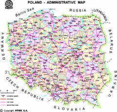
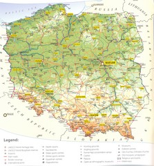
Poland Map
Map of Poland that includes all freeways, cities, districts and surrounding countries.
91 miles away
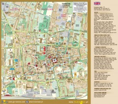
Tarnow Tourist Map
Tourist map of the center of Tarnow, Poland
103 miles away
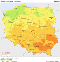
Solar Radiation Map of Poland
Solar Radiation Map Based on high resolution Solar Radiation Database: SolarGIS. On the Solar Map...
103 miles away
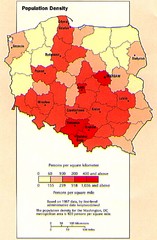
Poland Population Density Map
Map of Poland's population density
103 miles away
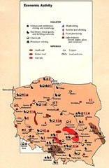
Poland Economic Activity Map
Map of Poland's economic activity
103 miles away

Poland Map
Map of Poland showing major roads, railroads, cities and boundaries.
103 miles away
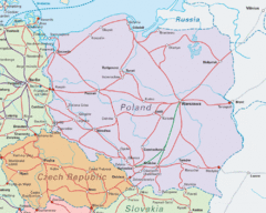
Interrail Routes in Central Europe Map
Map shows railway routes for Poland, Germany, Czech Republic and Slovakia.
103 miles away

Poland Country Map
CIA Atlas of Eastern Europe - PCL Map Collection, University of Texas at Austin.
103 miles away
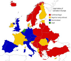
Legal Status of Cannabis in Europe Map
Shows legal status of marijuana in each European country.
105 miles away
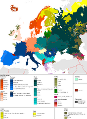
Languages of Europe Map
A map of the languages in Europe and where they originate.
113 miles away
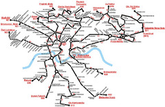
Krakow Bus Routes Map
118 miles away
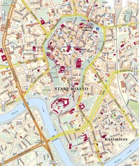
Krakow Tourist Map
118 miles away
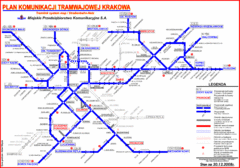
Cracow Tramlink Map (Polish)
118 miles away
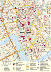
Krakow Tourist Map
Tourist map of central Krakow, Poland. Shows tourist routes and site of historic interest.
118 miles away
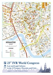
Krakow Map
Map of the city of Krakow. Includes streets, buildings, hotels, and parks.
118 miles away
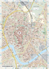
Krakow City Map
City map of central Krakow, Poland.
118 miles away
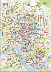
Krakow City Center Map
119 miles away
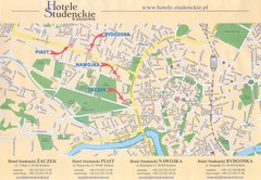
Cracow City Map
City map of Cracow with hotels
119 miles away
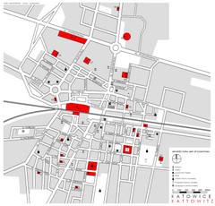
Kattowitz Tourist Map
Tourist map of Kattowitz, Poland. Shows points of interest.
135 miles away
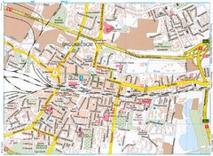
Katowice Tourist Map
Tourist map of central Katowice, Poland. Shows points of interest.
136 miles away
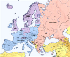
Traditional European Religious Majorities by...
Shows the traditional religious majorities by region in Europe.
137 miles away
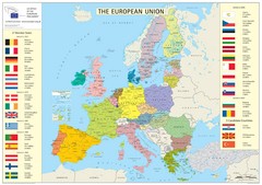
European Union Member States Map
Shows all member states and years joined. Also shows candidate states.
148 miles away
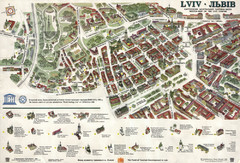
Lviv Tourist Map
Tourist map of historic district of central Lviv, Ukraine, added to the UNESCO World Heritage List...
160 miles away
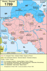
1789 Poland Map
Polish kingdoms and districts in 1789
162 miles away
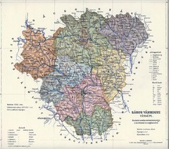
1910 Hungarian Map
Guide to historic Hungary, current Slovakia
162 miles away
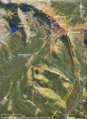
Tatras Map
The Tatras - rocks, landforms, weathering and soils field trip map with sites identified.
163 miles away

Lviv. Southern outskirts of city (in Ukrainian...
Lviv. High detailed southern outskirts of city (in Ukrainian)
168 miles away
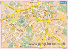
Street map of central Lviv, Ukraine. (Russian)
Street map of central Lviv, Ukraine. In Russian.
168 miles away
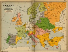
Europe 1490 Historical Map
169 miles away
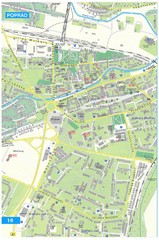
Poprad Tourist Map
Tourist map of Poprad, Slovakia. Shows points of interest.
175 miles away
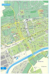
Humenne Tourist Map
Tourist map of Humenne, Slovakia. Shows all points of interest.
177 miles away
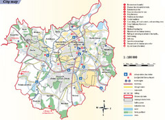
Ostrava Tourist Map
Tourist map of Ostrava, Czech Republic. Shows points of interest.
179 miles away
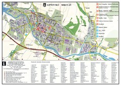
Liptovsky Mikulas Tourist Map
Tourist map of Liptovsky Mikulas, Slovakia
184 miles away

