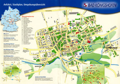
Bad Konigshofen Toursit Map
Tourist map of Bad Konigshofen
486 miles away
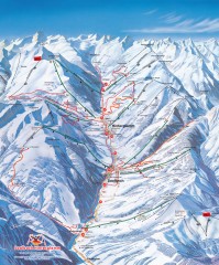
Saalbach and Hinterglemm Winter walks map
Panoramic map showing winter walks in the Saalbach and Hinterglemm Austria area.
486 miles away
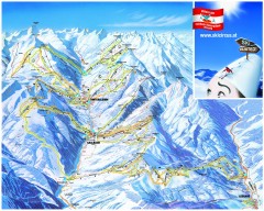
Saalbach and Hinterglemm Ski Trail map
Official ski trail map of Saalbach and Hinterglemm area from the 2006-2007 season. In German.
486 miles away
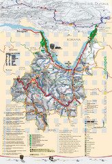
Majdanpek Tourist Map
Tourist map of municipality of Majdanpek, Serbia. Shows points of interest. In Serbian.
488 miles away
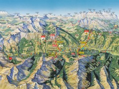
Saalbach Hinterglemm Summer Hiking Map
Summer panorama map of Saalbach and Hinterglemm Austria area. Shows trails, lifts, huts, and peaks.
488 miles away
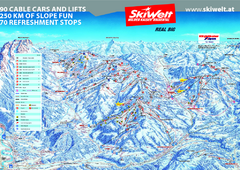
Wilder Kaiser Ski Trail Map
Trail map from Wilder Kaiser – Gosau, Scheffau, Ellmau.
489 miles away
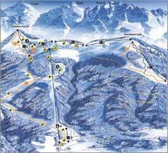
Arnoldstein—Dreiländereck Ski Trail Map
Trail map from Arnoldstein—Dreiländereck, which provides downhill skiing. It has 8 lifts. This...
489 miles away
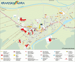
Kranjska Gora town map
Blurb from town website: The Zgornjesavska Valley is one of the most breathtaking alpine valleys...
490 miles away
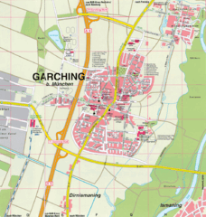
Garching bei München Map
Street map of Garching bei München
490 miles away
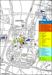
Garching Tourist Map
Tourist map of Garching bei Munchen, Germany. Shows hotels, restaurants and the most important bus...
490 miles away
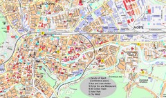
Ljubljana City Map
City map of Ljubljana, Slovenia. Shows some points of interest.
490 miles away
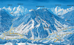
Kranjska Gora Ski Trail Map
Ski trail map of Kranjska Gora ski area.
490 miles away
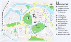
Celle Map
490 miles away
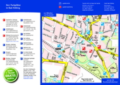
Bad Aibling Tourist Map
Tourist parking map of downtown Bad Aibling
490 miles away
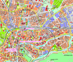
Ljubljana Tourist Map
Tourist map of central Ljubljana, Slovenia.
490 miles away
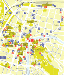
Ljubljana Slovenia Tourist Map
Tourist Map of Ljubljana Slovenia showing sites and roads of the city.
490 miles away
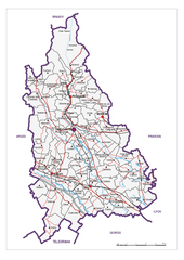
Dambovita County, Romania Map
Administrative map of Dambovita County, Romania. The map shows, also, all important roads.
491 miles away
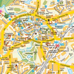
Bad Oldeshloe Map
Street map of downtown Bad Oldeshloe
492 miles away
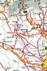
Dimbovita Map
492 miles away
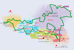
Niedersachsen Spargelstrasse Map
493 miles away
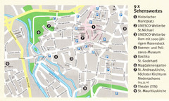
Hildesheim Map
493 miles away
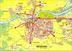
Neuburg an der Donau Map
Street map of Neuburg an der Donau
493 miles away
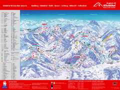
Kitzbuhel Ski Trail Map
Trail map from Kitzbuhel.
493 miles away
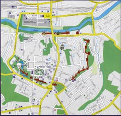
Smolensk Map
493 miles away
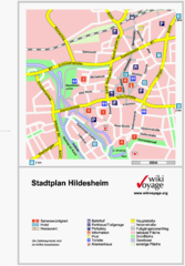
Hildesheim Center Tourist Map
Tourist street map of Hildesheim city center
493 miles away
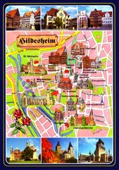
Hildesheim Tourist Map
Tourist map of downtown Hildesheim
493 miles away

Goettingen Map
map of downtown Goettingen.
495 miles away
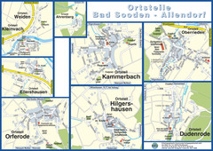
Bad Sooden-Allendorf Towns Map
Street maps of towns within the Bad Sooden-Allendorf region
495 miles away
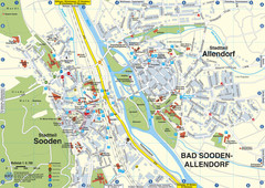
Sooden-Allendorf Map
Street map of Sooden and Allendorf
495 miles away
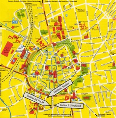
Gottingen City Map
City map of Gottingen with school buildings highlighted
495 miles away
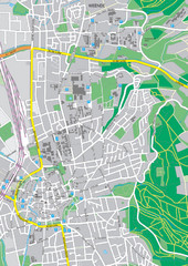
Göttingen City Map
City map of Göttingen, Germany
495 miles away
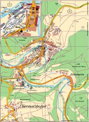
Pappenheim Map
Street map of Pappenheim
495 miles away
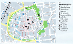
Gottingen Map
495 miles away
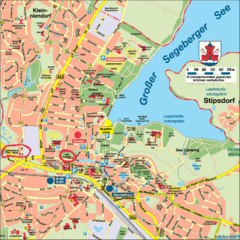
Bad Segeberg Tourist Map
Tourist street map of bad Segeberg
496 miles away
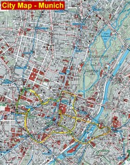
Munich City Map
City map of Munich, Germany
497 miles away
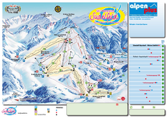
Sudelfeld Ski Trail Map
Trail map from Sudelfeld.
497 miles away
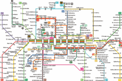
Munich Metro Map
Metro map of Munich, Germany. In German.
497 miles away
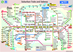
Munich public transportation system Map
This MVV network map, probably the best known one, shows all lines and stops for the urban rail and...
497 miles away

