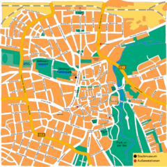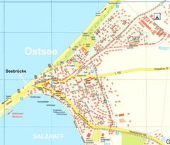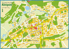
Doberan Map
Street map of city of Doberan
438 miles away
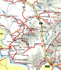
Caras-Severin Map
439 miles away
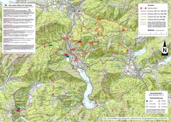
Central Austria Hiking Map
Large map of hiking and emergency services.
440 miles away
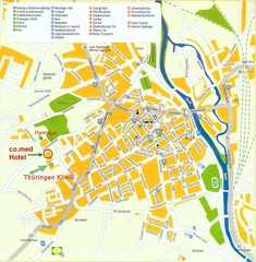
Saalfeld Tourist Map
Tourist street map of Saalfeld
442 miles away
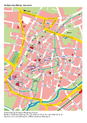
Quedlinburg Map
Street map of town of Quedlinburg
443 miles away
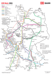
D ICE Netz Map
445 miles away
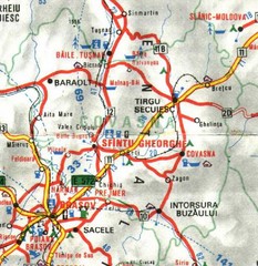
Covasna Map
445 miles away
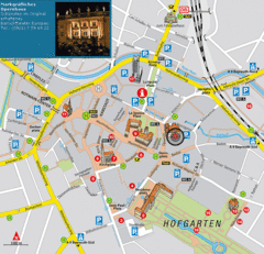
Bayreuth Tourist Map
Tourist map of Bayreuth town center
445 miles away
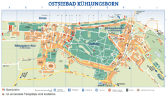
Kühlungsborn Map
Map of Kühlungsborn
445 miles away
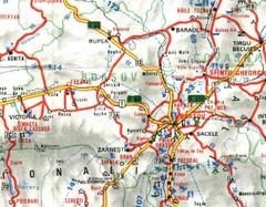
Brasov Map
446 miles away
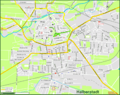
Halberstadt Map
Street map of Halberstadt town
447 miles away
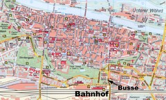
Regensburg Tourist Map
Tourist map of Regensburg city center
447 miles away
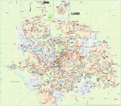
Lund Map (swedish)
447 miles away
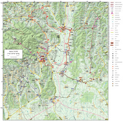
Zagreb County Cycling Route Map
Shows a cycling route in Zagreb County, Croatia. From the Roman “Magna Vie” near Komin...
447 miles away
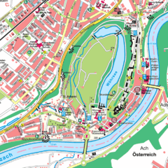
Burghausen Tourist Map
Tourist street map of Burghausen
447 miles away
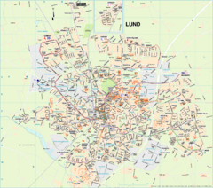
Lund City Map
City map of Lund, Sweden. Shows transportation lines.
447 miles away
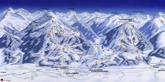
Planai-Hochwurzen Ski Trail Map
Trail map from Schladming.
448 miles away
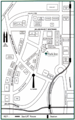
Kuala Lumpur Hotel Map
449 miles away
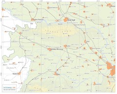
Urban areas in Srem region (Vojvodina, Serbia) Map
Srem is a part of Vojvodina province between river Sava and Danube. Largest places are Sremska...
449 miles away
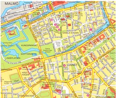
Malmo 1 Map
449 miles away
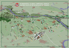
Indija Tourist Map
Tourist map of municipality of Indija, Serbia
449 miles away
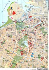
Malmo City Map
City map of central Malmö, Sweden.
449 miles away
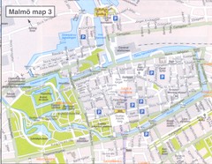
Malmo 2 Map
449 miles away
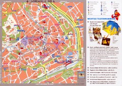
Erfurt Tourist Map
Tourist map of Erfurt, Germany. Shows points of interest. In German. Scanned.
453 miles away
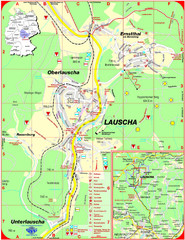
Lauscha Map
Street map of town of Lauscha and surrounding area
453 miles away
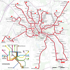
Salzburg Trolleybus Map
453 miles away
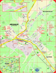
Neuhaus am Rennweg Map
Street map of Neuhaus am Rennweg
453 miles away
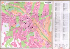
Chisinau City Map
Tourist map of capital city
454 miles away
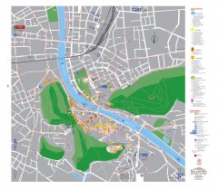
Salzburg Tourist Map
Tourist map of Salzburg, Austria. In German.
454 miles away

