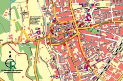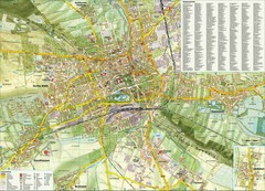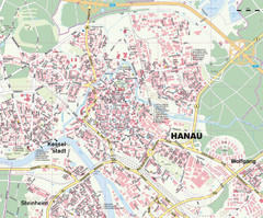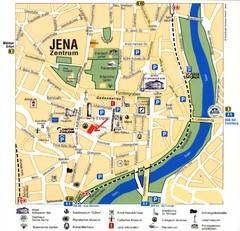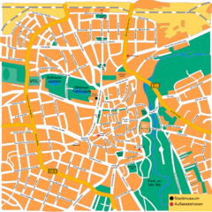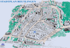
Fulda-city map
95 miles away
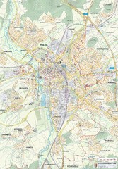
Fulda 1:20000 Map
95 miles away
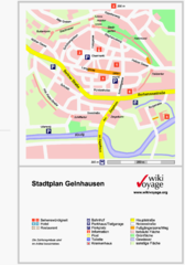
Gelnhausen Center Map
Tourist map of Gelnhausen center
95 miles away
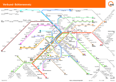
Stuttgart, Nahverkehr Map
95 miles away
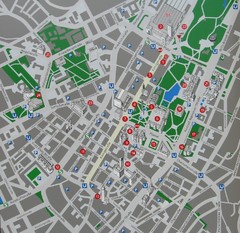
Stuttgart Tourist Map
Tourist street map of Stuttgart center
95 miles away
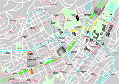
Stuttgart Street Map
Street map of Stuttgart, Germany. Show major buildings and public transport routes.
95 miles away
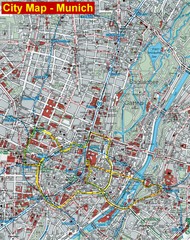
Munich City Map
City map of Munich, Germany
96 miles away
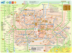
Munich Public Transportation Map
96 miles away
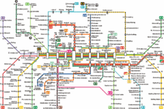
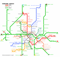
Munich Metro Map
Metro map of Munich, Germany. In German.
96 miles away
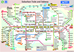
Munich public transportation system Map
This MVV network map, probably the best known one, shows all lines and stops for the urban rail and...
96 miles away
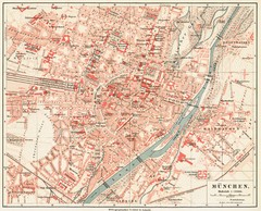
Munich Map
97 miles away
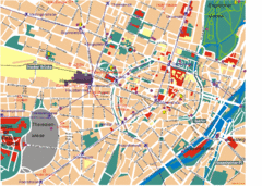
Munich Tourist Map
Tourist map of central Munich (München), Germany.
97 miles away
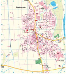
Dietenheim Map
Street map of Dietenheim
97 miles away
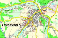
Lengenfeld Map
Street map of Lengenfeld
97 miles away
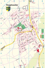
Regglisweiler Map
Map of town of Regglisweiler
98 miles away
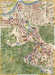
Karlovy Vary Czech Republic Tourist Map
Tourist map of Karlovy Vary, Czech Republic. Shows businesses, buildings of historical interest and...
99 miles away
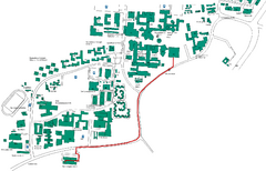
Universität Stuttgart Campus Map
In Stuttgart, Germany
99 miles away
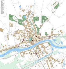
Landsberg Map
Street map of city of Landsberg
99 miles away
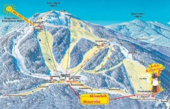
Arber Ski Trail Map
Trail map from Arber.
100 miles away

Jena Topographic Map
Guide to topography and surrounding area of Jena, Germany
100 miles away
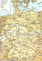
Germany Map
Map of Germany showing roads, railways and cities.
103 miles away
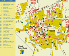
Landsberg Tourist Map
tourist map of town of Landsberg
103 miles away
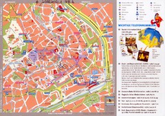
Erfurt Tourist Map
Tourist map of Erfurt, Germany. Shows points of interest. In German. Scanned.
104 miles away
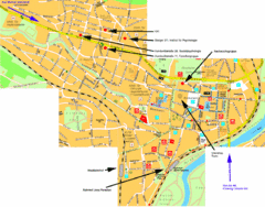
Jena City Map
City map of Jena with information
104 miles away
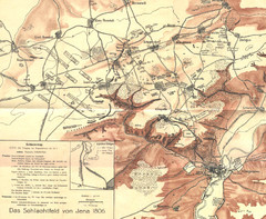
1806 Jena, Germany Map
Historic guide to Jena, Germany in German
104 miles away
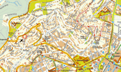
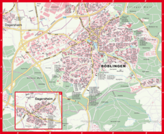
Boblingen Street Map
Street map of Boblingen center
105 miles away

