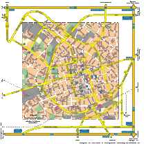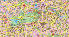
Central Berlin Street Map
Street map of central Berlin, Germany with some major building drawings. In German. Karte von...
234 miles away
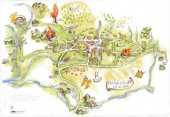
Tramonti di Sopra Tourist Map
Tourist map of town and surrounding area of Tramonti di Sopra, Italy. Drawing shows streets...
235 miles away

Berlin HBf Map
235 miles away
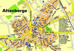
Altenberge Tourist Map
Tourist map of Altenberge
235 miles away
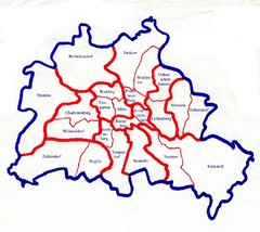
Berlin Bezirke Map
235 miles away
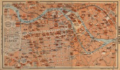
Berlin 1910 Map
235 miles away
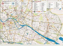
Berlin City Map
City map of Berlin with tourist information
235 miles away
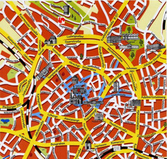
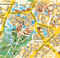
Aachen Center Map
Tourist street map of Aachen city center
235 miles away
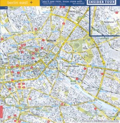
Berlin Street map - East
Street map of eastern Berlin, Germany.
235 miles away
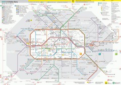
Berlin Transit Map
Guide to the S and U Bahn in Berlin
235 miles away
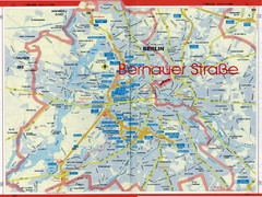
Berlin Tourist Map
236 miles away
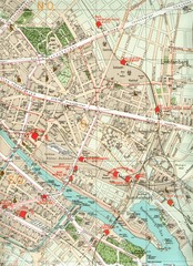
Berlin Tourist Map
236 miles away
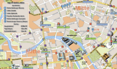
Berlin Tourist Map
236 miles away
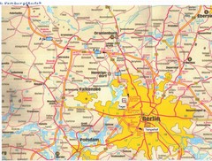
Berlin Tourist Map
236 miles away
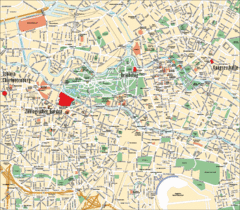
Berlin Tourist Map
236 miles away
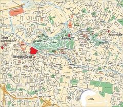
Berlin Tourist Map
Landmarks, neighborhoods and areas of Berlin
236 miles away
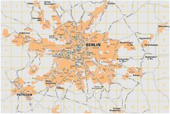
Berlin City Map
City map of Berlin Metropolitan area
236 miles away
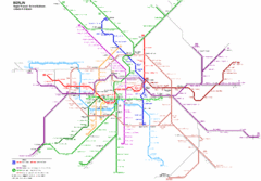
Berlin Rapid Transit Map
236 miles away
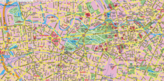
Berlin Center Map
236 miles away
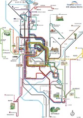
Trento Bus Route Map (Italian)
236 miles away
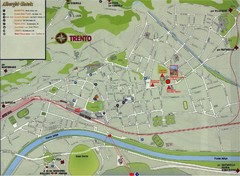
Trento Map
236 miles away
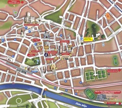
Trento Tourist Map
Tourist map of central Trento, Italy. Shows major buildings.
236 miles away
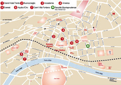
Trento center Map
236 miles away
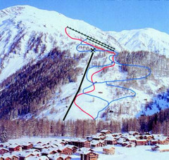
Hungerberg Ski Trail Map
Trail map from Hungerberg, which provides downhill skiing. It has 3 lifts. This ski area has its...
237 miles away
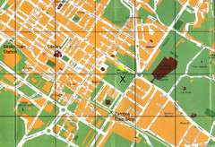
Sesto Map
238 miles away
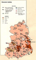
East Germany Economic Activity Map
Map of East Germany's economic activity
239 miles away
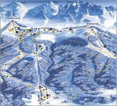
Arnoldstein—Dreiländereck Ski Trail Map
Trail map from Arnoldstein—Dreiländereck, which provides downhill skiing. It has 8 lifts. This...
239 miles away
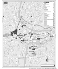
Bern Tourist Map
Tourist map of Bern, Switzerland. Shows museums, accommodations, eating, and drinking spots
239 miles away
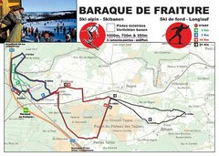
Baraque de Fraiture and Nordic Ski Trail Map
Trail map from Baraque de Fraiture.
240 miles away
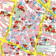
Ibbenbüren Downtown Map
Street map of Ibbenbüren city center
241 miles away
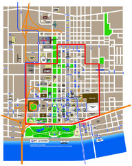
St. Louis, MO Tourist Map
241 miles away
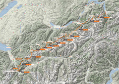
Swiss Alps Trail Map
Around Interlaken, Switzerland.
241 miles away
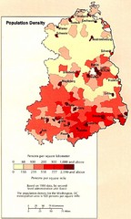
Eastern Germany Population Density Map
Map of Eastern Germany's population density
243 miles away
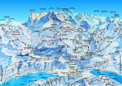
Jungfrauregion (Mürren, Wengen, Grindelwald) Ski...
Trail map from Jungfrauregion (Mürren, Wengen, Grindelwald), which provides downhill skiing.
243 miles away
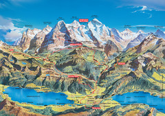
Jungfrau Grindelwald region summer map
This map is a summer panorama looking south from Interlaken toward the Jungfrau, Eiger, and the...
243 miles away
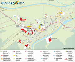
Kranjska Gora town map
Blurb from town website: The Zgornjesavska Valley is one of the most breathtaking alpine valleys...
244 miles away

