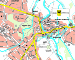
Lübben (Spreewald) Map
Street map of Lübben (Spreewald)
213 miles away

St. Moritz Tourist Map
Tourist map of St. Moritz, Switzerland. Shows summer and winter points of interest.
213 miles away
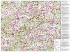
Val di Fassa Hiking Map
Hiking trail map of the Val di Fassa, Italy region. Highly detailed.
213 miles away
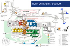
Ruhr-Universitat Campus Map
213 miles away
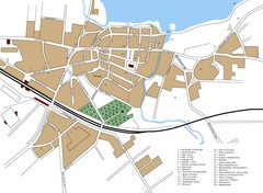
Woldenberg Map
Street map of city of Woldenberg
214 miles away
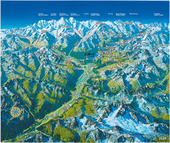
Engadin St. Moritz Region Summer Map
Summer panoramic tourist map of Engadin region of Switzerland. Includes St. Moritz, Piz Bernina...
214 miles away
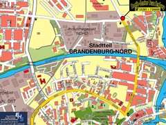
Brandenburg an der Havel Map
Street map of Brandenburg an der Havel center
214 miles away
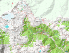
Val di Rabbi Topo Map
Detailed topographic map of Val di Rabbi, Italy on the edge of Stelvio National Park
214 miles away
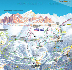
Welschnofen—Karersee (Carezza) Ski Trail Map
Trail map from Welschnofen—Karersee (Carezza), which provides downhill and nordic skiing. This...
214 miles away
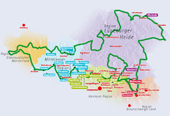
Niedersachsen Spargelstrasse Map
214 miles away
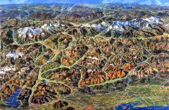
Eastern Alps Italy and Austria Overview Map
Panoramic map of the mountains and towns of northern Italy, the Tyrol, and southern Austria
214 miles away

Western Strasbourg Tourist Map
215 miles away
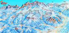
Latemar (Val di Fiemme, Obereggen) Ski Center...
Trail map from Latemar (Val di Fiemme, Obereggen), which provides downhill and nordic skiing. This...
215 miles away
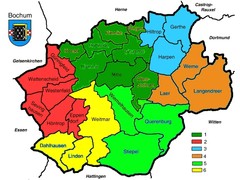
Bochum Stadtteile Map
216 miles away
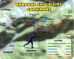
Cornimont Ski Trail Map
Trail map from Cornimont.
216 miles away
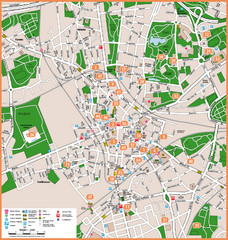
Bochum Tourist Map
Tourist map of central Bochum, Germany. Shows points of interest; numbers correspond to more info...
217 miles away
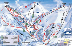
Hochkar Ski Trail Map
Trail map from Hochkar.
217 miles away
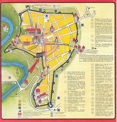
Rothenburg Tourist Map
Tourist map of town of Rothenburg
217 miles away
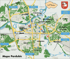
Pardubice Tourist Map
Tourist map of Pardubice, Czech Republic
218 miles away
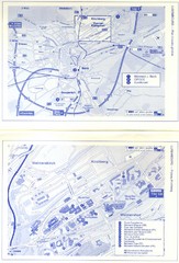
Kirchberg Map
Map of Kirchberg, Luxembourg. In French. Scanned.
218 miles away
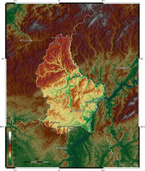
Luxembourg topo Map
218 miles away
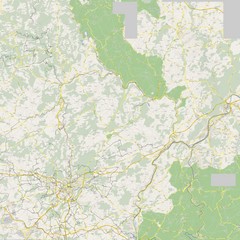
Luxembourg Bike Map
218 miles away
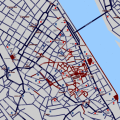
Heisingen Map
Detailed map of the city including parking, streets, and hotels.
218 miles away
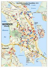
Werder (Havel) Tourist Map
Tourist map of Werder (Havel)
218 miles away
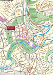
Luxembourg city Map
218 miles away
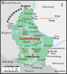
Luxembourg Map
218 miles away
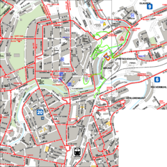
City Center with Bus and Rail Lines Map
218 miles away
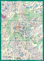
Luxembourg City Street Map
Street map of Luxembourg city and surrounding area.
218 miles away
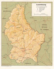
Luxembourg Map
Map of the mountains, cities and roadways of Luxembourg.
218 miles away
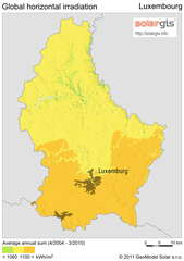
Solar Radiation Map of Luxembourg
Solar Radiation Map Based on high resolution Solar Radiation Database: SolarGIS. On the Solar Map...
219 miles away
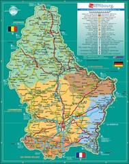
Luxembourg Tourism Map
Tourist Map of Luxembourg showing major roads, railways, and tourist attractions.
219 miles away
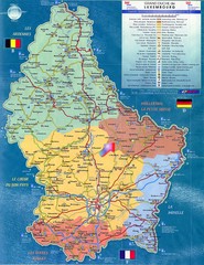
Luxembourg Tourist Map
Tourist map of the country of Luxembourg. Shows points of interest and activity icons. In French...
219 miles away
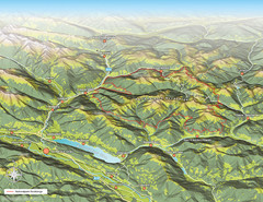
Nockberge National Park Map
Outline map of Nockberge National Park, Austria in the summer. Shows surrounding towns.
219 miles away
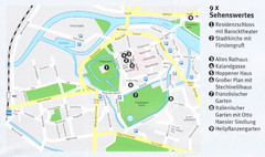
Celle Map
221 miles away
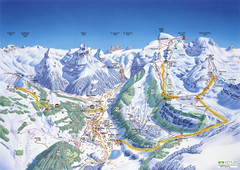
Engelberg Titlis Ski Trail Map
Trail map from Engelberg Titlis.
221 miles away
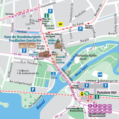
Potsdam City Center Map
Tourist map of Potsdam city center
221 miles away
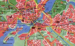
Potsdam Tourist Map
Tourist map of Potsdam
221 miles away
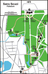
Potsdam Walking Tour Map
222 miles away

