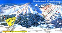
Lungau Ski Trail Map
Trail map from Lungau.
206 miles away
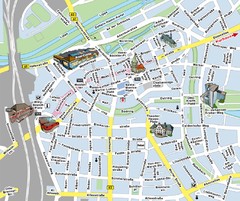
Hamm Center Tourist Map
Tourist street map of Hamm center
206 miles away
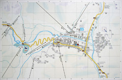
Corvara Town Map
Tourist map of Corvara, Italy in the Dolomites. From photo of sign
206 miles away
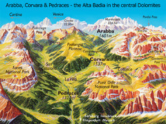
Arabba Corvara Pedraces Summer Map
Summer map of Alta Badia region in Italian Dolomites
206 miles away
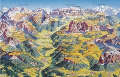
Val Gardena Summer Trail Map
Summer panoramic trail map of the Val Gardena, Italy area in the heart of the Dolomite Mountains...
206 miles away
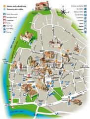
Bolzano tourist map
207 miles away
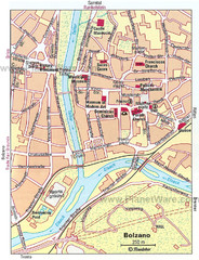
Bolzano centro Map
207 miles away
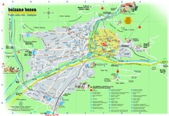
Bolzano Tourist Map
Tourist map of Bolzano, Italy.
207 miles away
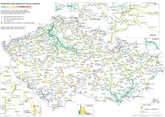
Elevation Railway Map of Czech Republic
Elevation of railways and main stations in Czech republic. Blue numbers show elevation of stations...
207 miles away
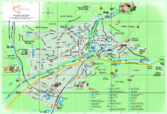
Bolzano Map
207 miles away
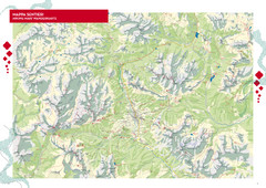
Cortina d'Ampezzo Hiking Map
Summer hiking map of the Cortina d'Ampezzo, Italy area in the heart of the Dolomite Mountains...
207 miles away
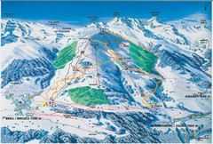
Brigels Ski Trail Map
Trail map from Brigels.
207 miles away
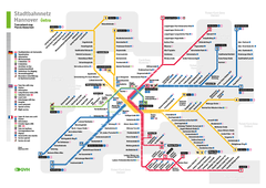
Hannover, Nahverkehr Map
208 miles away
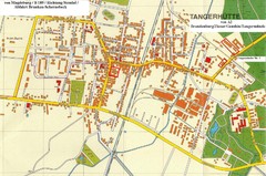
Tangerhuette Map
Street map of city of Tangerhuette
208 miles away
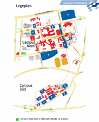
Universitat Dortumund Campus Map
208 miles away
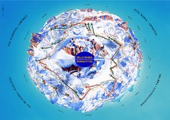
Sella Ronda Ski Tour Map
Shows ski mountaineering tour of Sella Ronda, a circular ski route leading around the mighty Sella...
208 miles away
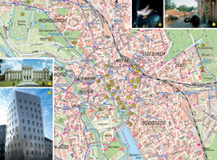
Hannover Tourist Map
Tourist map of central Hannover, Germany. Shows points of interest and some photos.
208 miles away
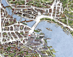
Lucerne Tourist Map
Tourist map of central Lucerne, Switzerland. 3D view showing buildings.
208 miles away
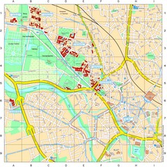
Leibniz Universität Hannover Map
Campus map of the Leibniz Universität Hannover in Hannover, Germany. All school buildings...
208 miles away
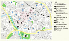
Hannover Map
208 miles away
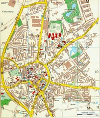
Ennirgerloh Map
Street map of Ennirgerloh
208 miles away
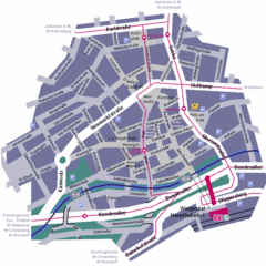
Wuppertal Elberfeld Street Map
Street map of Elberfeld in Wuppertal, Germany. In German.
209 miles away
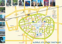
Dortmund Tourist Map
Tourist map of central Dortmund, Germany. Shows photos of points of interest along a walking audio...
209 miles away
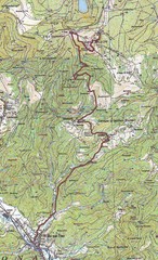
Grand Ballon Race Course Map
Topo course map of the 13.2 km running race to the summit of Grand Ballon
210 miles away
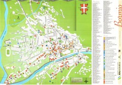
Bormio Tourist Map
Tourist map of town of Bormio, Italy. Legend of all streets and services.
210 miles away
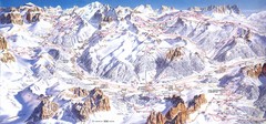
Campitello di Fassa Ski Map
210 miles away
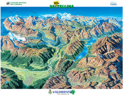
Valdidentro Alta Valtellina Summer Map
Panorama tourist map of the region of Valdidentro Alta Valtellina from Bormio, Italy to Livigno...
211 miles away
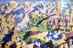
Bormio Panorama Map
Panorama tourist map of Bormio, Italy. Shows Ortler Alps in distance. From photo.
211 miles away
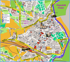
Goerlitz Tourist Map
Tourist street map of Goerlitz
211 miles away
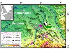
Earthquake in Lower Rhine Map
Seismotectonic map of the Lower Rhine graben system in the border area of Belgium, Germany and the...
211 miles away
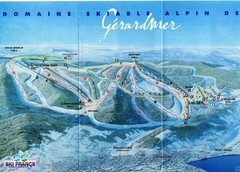
Gérardmer Ski Trail Map
Trail map from Gérardmer.
211 miles away
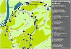
Muttental Bergbauwanderweg Map
212 miles away
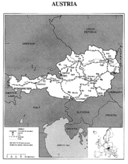
Austria Tourist Map
212 miles away
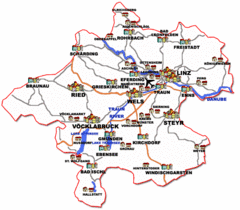
Austria Tourist Map
212 miles away
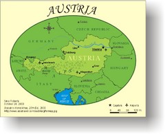
Austria Tourist Map
212 miles away
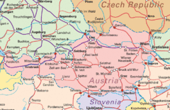
Austria Tourist Map
212 miles away
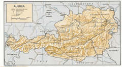
Austria Tourist Map
212 miles away
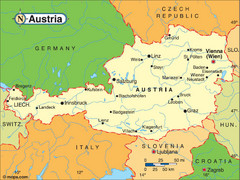
Austria Tourist Map
212 miles away
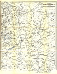
Austrial Empire Map
Historical map of the Austrian Empire. Includes some roads, rivers, towns, railways and steamboat...
212 miles away
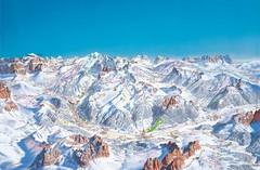
Canazei Campitello Ski Trail Map
Ski trail map of Canazei-Campitello area in the Italian Dolomites.
213 miles away

