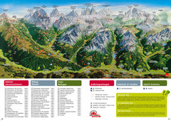
Alta Pusteria Summer Map
Panoramic summer hiking map of the Alta Pusteria, Italy, in the South Tyrol. Shows towns...
199 miles away
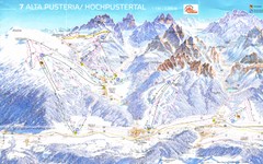
Alta Pusteria Ski Trail Map
200 miles away
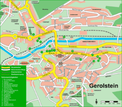
Gerolstein Map
Street map of Gerolstein
200 miles away
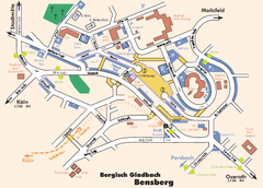
Bergisch Gladbach Tourist Map
Tourist map of Bergisch Gladbach
200 miles away
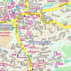
Bergisch Gladbach Map
City street map of Bergisch Gladbach
200 miles away
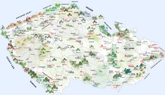
Czech Republic Castle map
Castle map of the Czech Republic
200 miles away
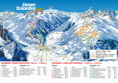
Lienz Austria Ski Map
Trail map for Lienz ski resort in Austria. Lifts, runs, elevations and amenities marked on map.
201 miles away
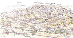
Guebviller valley panorama Map
201 miles away
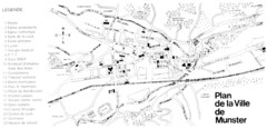
Munster Map
202 miles away
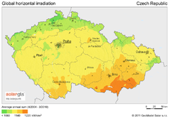
Solar Radiation Map of Czech republic
Solar Radiation Map Based on high resolution Solar Radiation Database: SolarGIS. On the Solar Map...
202 miles away
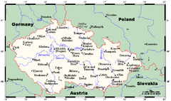
Czech Republic Tourist Map
202 miles away
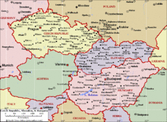
Czech Republic Tourist Map
202 miles away
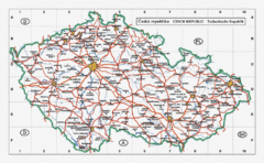
Czech Republic Country Map
Map of Czech Republic, roads, and major cities.
202 miles away
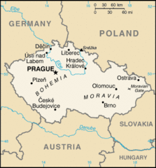
Czech Republic Country Map
Country of Czech Republic, and surrounding countries.
202 miles away
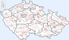
Czech Castles Map
Shows castles in the Czech Republic
202 miles away
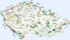
Czech Republic Tourist Map
Tourist map of the Czech Republic
202 miles away
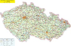
Czech Republic Road Map
Road map of the Czech Republic. Legend in Czech, German, and English.
202 miles away

Weil am Rhein Tourist Map
Tourist street map of Weil am Rhein
202 miles away
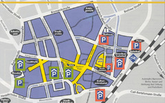
Parking Spots in Downtown Gutersloh Map
203 miles away
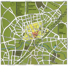
Gütersloh Map
Street tourist map of Gütersloh
203 miles away
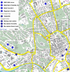
Czech Republic Tourist Map
Czech Republic Tourist Map. Includes roads, landmarks and street names.
203 miles away
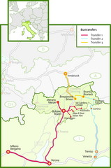
Northern Italy Bustransfer Map
203 miles away
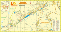
Ultental Deutschnonsberg St. Walburg Tourist Map
Tourist map of the southern Tyrol region around Ultental, Deutschnonsberg, and St. Walburg/ S...
203 miles away
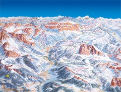
Val Gardena Ski Trail Map
Trail map from Val Gardena.
204 miles away
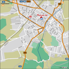
Luckenwalde Map
Street map of Luckenwalde
205 miles away

Sulden Trafoi Summer Hiking Map
Summer hiking route map of Sulden (Solda) Italy, Trafoi, Italy and Stelvio, Italy. Shows hiking...
205 miles away
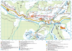
Santa Cristina Tourist Map
Tourist map of town of Santa Cristina Val Gardena, Italy. Santa Cristina lies on the sunny side of...
205 miles away
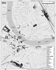
Basel Tourist Map
Tourist map of Basel, Switzerland. Shows museums, accommodations, eating, and drinking spots
205 miles away

Sulden Ski Trail Map
Ski trail map of Sulden (Solda), Italy in the Ortler Alps. Shows trails and lifts.
205 miles away
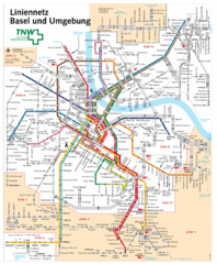
Basel Light Rail and Bus Map
205 miles away
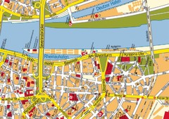
Cologne Center Map
Street map of city center of Cologne
205 miles away
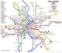
Köln metro Map
205 miles away
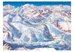
Alta Badia Alta Badia Ski Trail Map
Trail map from Alta Badia, which provides downhill skiing. This ski area has its own website.
205 miles away
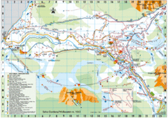
Selva Gardena Tourist Map
Tourist map of Selva Gardena, Italy, a popular skiing and hiking destination in the Italian Alps.
205 miles away
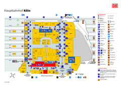
Köln HBf Map
205 miles away
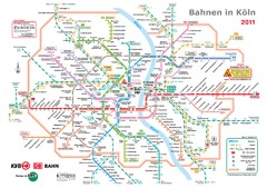
Köln, Nahverkehr Map
205 miles away
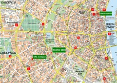
Cologne Map
Street map of Cologne, Germany. In German.
206 miles away
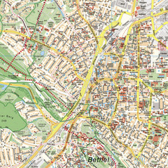
Bielefeld Street Map
Street map of central Bielefeld, Germany. Shows some points of interest.
206 miles away

