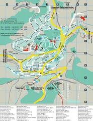
Sankt Andreasberg Tourist Map
Sankt Andreasberg tourist map
464 miles away
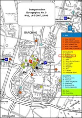
Map of the city of Garching, Germany
General visitor information including the locations of restaurants, hotels, bus stops and more.
465 miles away
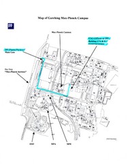
Garching Max-Planck Campus Map
Map of the Max-Planch Campus in Garching, Germany. Includes information on Accommodation and...
465 miles away
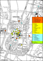
Garching Map
Map of Garching, a suburb to the north of Munich, with hotels, restaurants and bus stops marked.
465 miles away
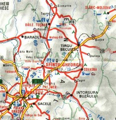
Covasna Map
465 miles away
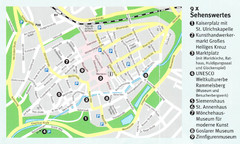
Goslar Map
466 miles away
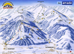
Ski Amade Map
466 miles away
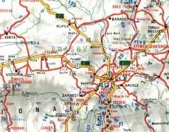
Brasov Map
466 miles away
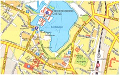
Frederiksborg Castle - Hillerod Map
467 miles away
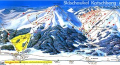
Lungau Ski Trail Map
Trail map from Lungau.
467 miles away
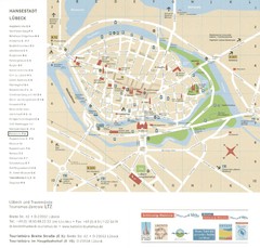
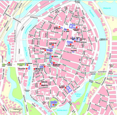
Luebeck Tourist Map
Street tourist map of city center
468 miles away
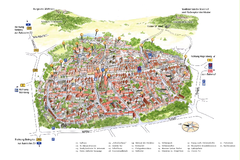
Neumarkt in der Oberpfalz Map
Tourist map of city center of Neumarkt in der Oberpfalz, Germany. In German
468 miles away
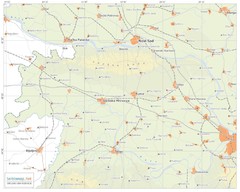
Urban areas in Srem region (Vojvodina, Serbia) Map
Srem is a part of Vojvodina province between river Sava and Danube. Largest places are Sremska...
469 miles away
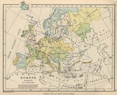
Europe 15th Century Colbeck Map
Europe during the 15th Century
470 miles away
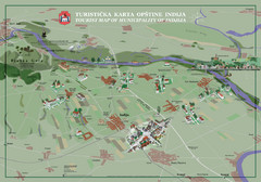
Indija Tourist Map
Tourist map of municipality of Indija, Serbia
470 miles away
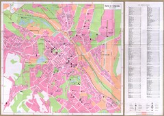
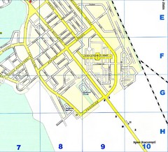
Chisinau City Map
Tourist map of capital city
470 miles away
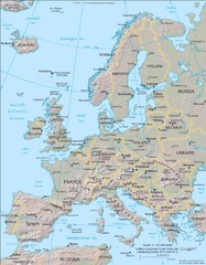
Europe Physical Map
471 miles away
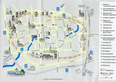
Muhlhausen City Map
City map of Muhlhausen with attractions.
471 miles away
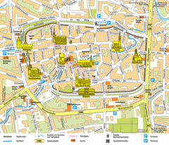
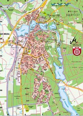
Mühlhausen Tourist Map
Tourist street map of Mühlhausen
471 miles away
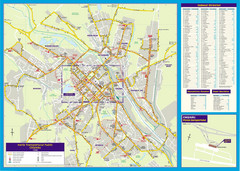
Chisinau Public Transportation Map
Public Transportation map of Chisinau, Moldova with street index. Shows bus routes. Inset of...
471 miles away
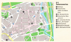
Luneburg Map
471 miles away
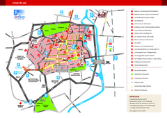
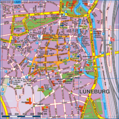
Luneburg Tourist Map
Tourist street map of Luneburg
471 miles away
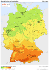
Solar Radiation Map of Germany
Solar Radiation Map Based on high resolution Solar Radiation Database: SolarGIS. On the Solar Map...
472 miles away
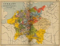
Germany 1519 Historical Map
472 miles away
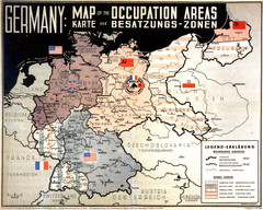
Occupation Areas of Germany after 1945 Map
This was an actual poster to be shown in the occupied Germany after the WWII.
472 miles away
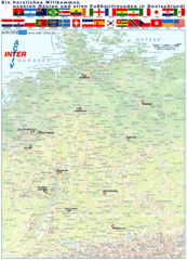
Germany Football World Cup 2006 Map
Shows football (soccer) cities in the 2006 World Cup hosted by Germany.
472 miles away
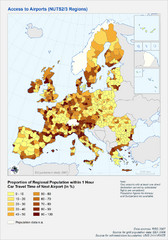
Travel Times to Airports in Europe Map
Shows proportion of car travel time to nearby airports across Western Europe
472 miles away
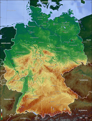
Germany Topo Map
Topographical map of Germany. Shaded by elevation in meters. Also shows major German cities.
472 miles away
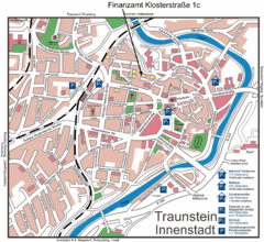
Traunstein Map
Street map of Traunstein
474 miles away
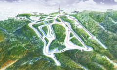
Medvednica Ski Trail Map
Trail map from Medvednica.
474 miles away

Central Balkan Map
Countries in Central Europe
475 miles away
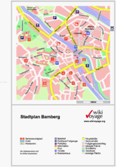
Bamberg Tourist Map
Tourist map of downtown Bamberg
476 miles away
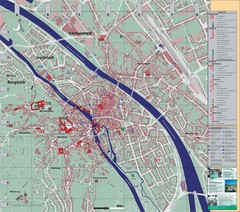
Bamberg City Map
City map of Bamberg, Germany
476 miles away
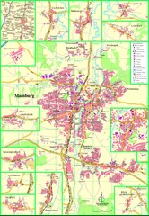
Mainburg Map
Street map of Mainburg city and surrounding region
476 miles away
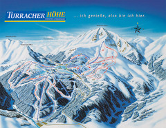
Turracher Höhe Ski Trail Map
Trail map from Turracher Höhe.
476 miles away

