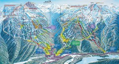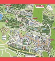
Whistler Village Map
999 miles away
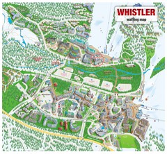
Whistler Village Map
999 miles away
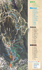
Whistler Blackcomb (Garibaldi Lift Co.) Biking...
Trail map from Whistler Blackcomb (Garibaldi Lift Co.), which provides downhill, night, and terrain...
999 miles away
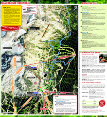
Whistler Blackcomb (Garibaldi Lift Co.) Hiking...
Trail map from Whistler Blackcomb (Garibaldi Lift Co.), which provides downhill, night, and terrain...
999 miles away
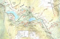
Whistler, CA Hiking and Biking Trails Map
999 miles away
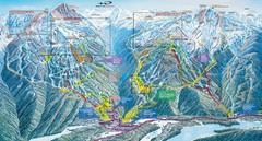
Whistler Blackcomb Trail Map
999 miles away
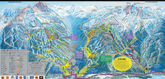
Whistler Blackcomb Ski Resort Map
Ski runs, lifts and amenities on the resort map
999 miles away
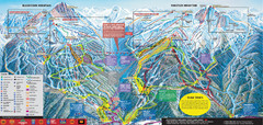
Whistler Blackcomb Ski Trail Map 2007-2008
Official ski trail map of the Whistler Blackcomb ski area from the 2007-2008 season. Site of Alpine...
1000 miles away
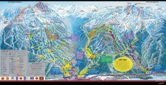
Whistler Blackcomb Ski Trail map 2005-06
Official ski trail map of the Whistler Blackcomb ski area from the 2005-2006 season. Site of the...
1000 miles away
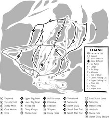
Teton Pass Ski Area Ski Trail Map
Trail map from Teton Pass Ski Area.
1000 miles away
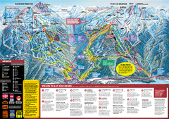
Whistler Blackcomb Trail map 2010-2011
Official ski trail map Whistler Blackcomb for the 2010-2011 season.
1000 miles away

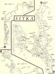
Sitka Recreation Map
1001 miles away

Sitka Tourist Map
1001 miles away

Creekside Map
Tourist map of Creekside Village
1001 miles away

Sitka Road System Map
1001 miles away
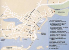
Sitka Downtown Map
1001 miles away
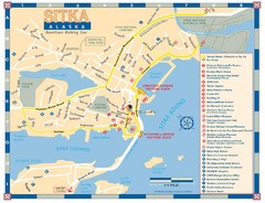
Downtown Sitka Map
Sitka Downtown Walking Tour map.
1001 miles away
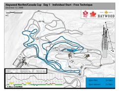
Whistler Olympic Park (Callaghan Nordic Centre...
Trail map from Whistler Olympic Park (Callaghan Nordic Centre), which provides night and nordic...
1001 miles away
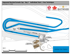
Whistler Olympic Park (Callaghan Nordic Centre...
Trail map from Whistler Olympic Park (Callaghan Nordic Centre), which provides night and nordic...
1001 miles away
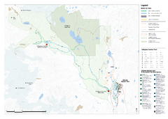
Callaghan Country Nordic Ski Trail Map
Trail map from Callaghan Country, which provides nordic skiing. This ski area opened in 1998, and...
1001 miles away
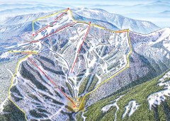
Schweitzer Ski Trail Map - Outback Bowl
Official ski trail map of back side of Schweitzer ski area from the 2007-2008 season.
1002 miles away
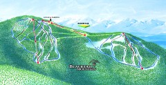
Blacktail Mountain Ski Trail Map
Official ski trail map of Blacktail Mountain ski area. See Blacktail's site for trailnames.
1002 miles away
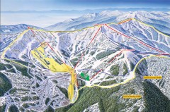
Schweitzer Ski Trail Map - Front
Official ski trail map of front side of Schweitzer ski area from the 2007-2008 season.
1002 miles away

Blacktail Mountain Ski Area Ski Trail Map
Trail map from Blacktail Mountain Ski Area.
1003 miles away
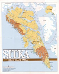
Sitka Area Map
Shows Sitka, Alaska area on Baranof Island.
1004 miles away
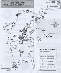
Little Pend Oreille Off Road Vehicle (ORV) Area...
Map of the Off Road Vehicle Area in Little Pend Oreille, Washington. Includes all bike trails...
1004 miles away
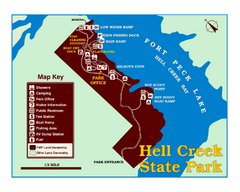
Hell Creek State Park Map
You’ll reach this campground park, 25 miles north of Jordan, through the spectacular scenery...
1004 miles away
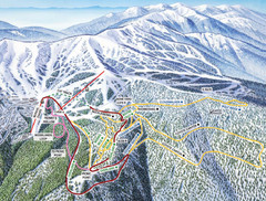
Schweitzer Mountain Trail Map
Ski trail map of Schweitzer Mountin
1005 miles away

Schweitzer Mountain Trail Map
Map of ski trails
1005 miles away
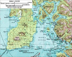
Mount Edgecumbe Topo Map
Topographic map of Mt. Edgecumbe and Sitka, Alaska. Mt. Edgecumbe is a 3000 foot inactive volcano...
1006 miles away
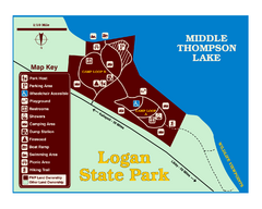
Logan State Park Map
With frontage on the north shore of Middle Thompson Lake, Logan is heavily forested with western...
1007 miles away
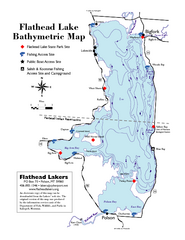
Bathymetric Map of Flathead Lake
Bathymetry refers to underwater depth
1008 miles away
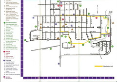
Watford City Map
Map of Watford City, McKenzie County, North Dakota. Includes streets, important buildings, parks...
1008 miles away
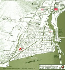
Map of Sandpoint, Idaho
Map of the entire town of Sandpoint including all streets, highways and other information.
1009 miles away
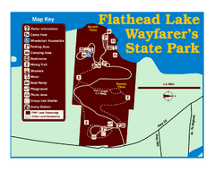
Wayfarers State Park Map
1009 miles away
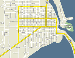
Sandpoint City Beach Map
Downtown Sandpoint Map.
1009 miles away

Sandpoint City Map
Street map of downtown Sandpoint
1009 miles away
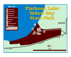
Yellow Bay State Park Map
Yellow Bay is in the heart of the famous Montana sweet cherry orchards, blossoms color the...
1009 miles away

