
Panorama Ski Area Trail Map
Guide to the Panorama Mountain Resort, outside Calgary, Canada
830 miles away
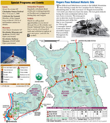
Glacier National Park and Revelstoke National...
Official park map of Glacier National Park and Revelstoke National Park in British Columbia, Canada.
831 miles away
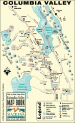
Columbia Valley Map
Easy to follow map and legend of this wilderness area.
843 miles away
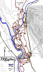
Nipika Ski Trail Map
Trail map from Nipika, which provides nordic skiing. This ski area has its own website.
844 miles away
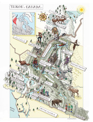
Yukon Territory Canada Map
846 miles away
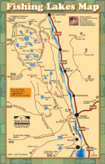
Radium Hot Springs Fishing Map
Beautiful map of the many fishing spots at this amazing site.
847 miles away
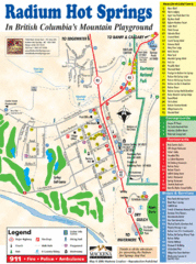
Radium Hot Springs Map
An easy to read map of this amazing hot springs area.
847 miles away
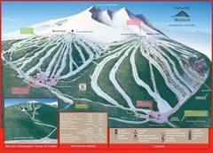
Ski Smithers Ski Trail Map
Trail map from Ski Smithers, which provides downhill and terrain park skiing. It has 3 lifts...
849 miles away
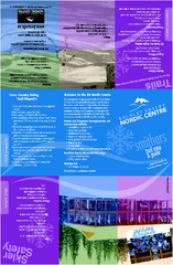
Bulkley Valley Ski Trail Map
Trail map from Bulkley Valley, which provides night and nordic skiing. This ski area has its own...
850 miles away
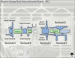
Houston, Airport Terminal Map
853 miles away
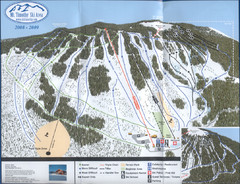
Mt Timothy Ski Trail Map
Trail map from Mt Timothy.
854 miles away

Revelstoke City Map
Overview map of Revelstoke, BC. Shows Points of Interest and activity icons
854 miles away
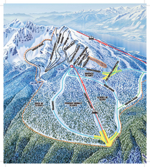
Revelstoke Ski Trail Map - North Bowl
Ski trail map of the North Bowl of Revelstoke ski area in Revelstoke, BC. From the 2008-2009...
854 miles away
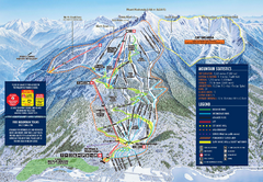
Revelstoke Ski Trail Map 2009-2010
Official ski trail map of Revelstoke Mountain Resort from the 2009-2010 season.
855 miles away
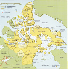
Nunavut Map
Map of Nunavut, Canada. Shows parks and geographical features in the territory.
855 miles away
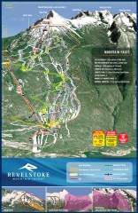
Revelstoke Ski Trail Map
Official ski trail map of Revelstoke ski area from the inaugural 2007-2008 season.
855 miles away
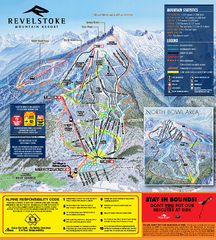
Revelstoke Ski Trail Map 2010-11
Ski trail map of Revelstoke Mountain Resort for the 2010-2011 season. Inset shows North Bowl area.
855 miles away
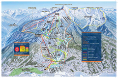
Revelstoke Ski Trail Map - Front side
Ski trail map of front side of Revelstoke ski area in Revelstoke, Canada from the 2008-2009 season.
855 miles away
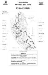
Mt. Macpherson Mountain Bike Trail Map
Mountain bike trail maps of Mt. Macpherson area and Mt. Mackenzie area right out of the town of...
856 miles away
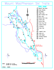
Revelstoke Nordic—Mount MacPherson Nordic Ski...
Trail map from Revelstoke Nordic—Mount MacPherson, which provides nordic skiing. This ski area...
858 miles away
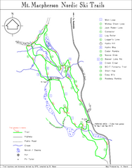
Mt Macpherson Nordic Ski Trail map
Nordic ski trail map of Mt Macpherson area near Revelstoke, BC. Shows trail names and distances in...
858 miles away

Panorama Trail Map
Ski trail map
859 miles away
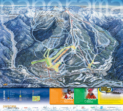
Panorama Mountain Village Ski Trail Map
Trail map from Panorama Mountain Village.
860 miles away
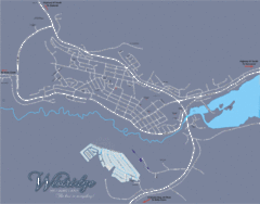
Williams Lake Town Map
861 miles away
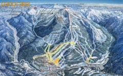
Panorama Ski Trail Map
Official ski trail map of Panorama ski area from the 2006-2007 season.
861 miles away
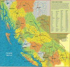
First Nations Peoples of British Columbia Map
"The boundaries between territories are deliberately shown as blending into one another, in...
862 miles away
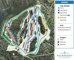
Fairmont Hot Springs Resort Ski Trail Map
Trail map from Fairmont Hot Springs Resort.
863 miles away
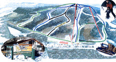
Hidden Valley Ski Trail Map
Trail map from Hidden Valley, which provides downhill skiing. This ski area has its own website.
864 miles away
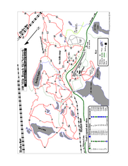
108 Mile House Ski Trail Map
Trail map from 108 Mile House.
866 miles away
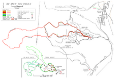
99 Mile Ski Ski Trail Map
Trail map from 99 Mile Ski Trails, which provides nordic skiing. This ski area has its own website.
873 miles away
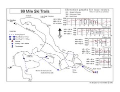
99 Mile Ski Race Routes Ski Trail Map
Trail map from 99 Mile Ski Trails, which provides nordic skiing. This ski area has its own website.
873 miles away
Minnedosa Ski Valley Ski Trail Map
Trail map from Minnedosa Ski Valley, which provides downhill skiing. This ski area has its own...
875 miles away
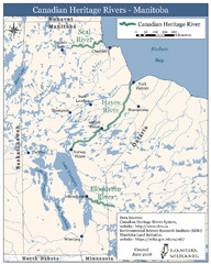
Canadian Heritage Rivers, Manitoba Map
886 miles away
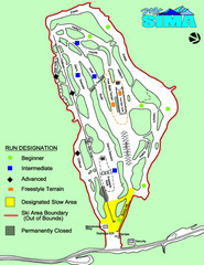
Mount Sima Ski Trail Map
Trail map from Mount Sima, which provides downhill skiing. This ski area has its own website.
887 miles away
Larch Hills Nordics Core Ski Trail Map
Trail map from Larch Hills Nordics, which provides night and nordic skiing. This ski area has its...
888 miles away
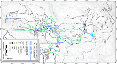
Larch Hills Nordics All Ski Trail Map
Trail map from Larch Hills Nordics, which provides night and nordic skiing. This ski area has its...
888 miles away
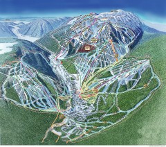
Sun Peaks Ski Trail Map
Official ski trail map of Sun Peaks ski area from the 2006-2007 season.
890 miles away
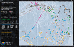
Sun Peaks Resort Nordic Ski Trail Map
Trail map from Sun Peaks Resort, which provides downhill, nordic, and terrain park skiing. This ski...
891 miles away
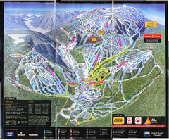
Sun Peaks Resort Ski Trail Map
Trail map from Sun Peaks Resort, which provides downhill, nordic, and terrain park skiing. This ski...
891 miles away
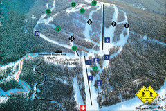
Pass Powderkeg Ski Trail Map
Trail map from Pass Powderkeg, which provides downhill skiing. This ski area has its own website.
896 miles away

