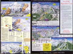
2007–08 2007–08 Ski Big 3 Side 2 (Lake Louise...
Trail map from Lake Louise, which provides downhill skiing. This ski area has its own website.
794 miles away
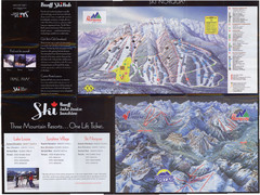
Lake Louise 2007–08 Ski Big 3 Side 1 (3...
Trail map from Lake Louise, which provides downhill skiing. This ski area has its own website.
794 miles away
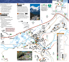
Banff National Park Map
Map of park with detail of trails and recreation zones
794 miles away
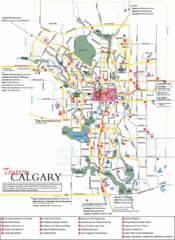
Calgary Map
795 miles away
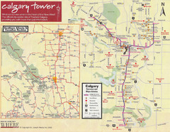
Calgary Tourist Map
Tourist map of Calgary, Canada. Shows points of interest. Scanned.
795 miles away
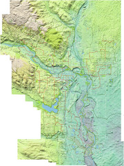
Calgary Topo Bike Map
This map shows the city of Calgary's bike routes. The topographic representation of the...
795 miles away
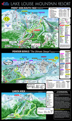
Lake Louise Trail Map
Ski area trail map for Lake Louise Mountain
795 miles away
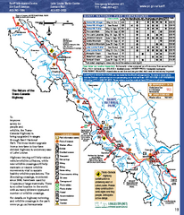
Banff National Park map
Official Parks Canada map of Banff National Park. Birthplace of Canada's national park system...
796 miles away
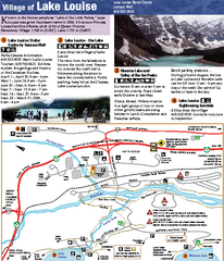
Lake Louise Area Map
Map of Lake Louise with detail of trails and recreation zones
796 miles away
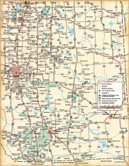
Southern Alberta Map
Shows highways, cities and towns, national/provincial parks and recreation areas, UNESCO World...
796 miles away
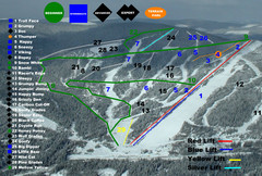
2004–07 Troll Downhill Map
Trail map from Troll. This ski area opened in 1972.
801 miles away
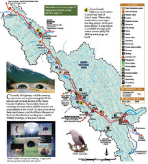
Banff National Park Map
801 miles away
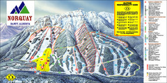
Banff Mount Norquay Ski Trail Map
Trail map from Banff Mount Norquay, which provides downhill skiing. This ski area has its own...
802 miles away

Mission Ridge Winter Park Ski Trail Map
Trail map from Mission Ridge Winter Park, which provides downhill skiing. This ski area has its own...
803 miles away
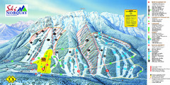
Norquay Map
Ski trail map
804 miles away
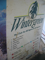
2001 Wintergreen Downhill Map Part 2
Trail map from Wintergreen.
805 miles away
2001 Wintergreen Downhill Map Part 1
Trail map from Wintergreen.
805 miles away
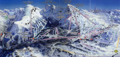
Sunshine Village Ski Trail Map
Official ski trail map of Sunshine Village ski area.
812 miles away
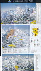
Banff’s Sunshine Village Ski Trail Map
Trail map from Banff’s Sunshine Village.
813 miles away
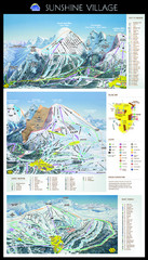
Sunshine Trail Map
Trail map of Sunshine Village
813 miles away
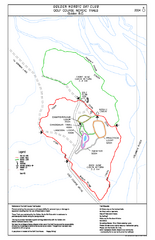
2004–06 Golden Golf Course Trail Map
Trail map from Golden Golf Course.
814 miles away
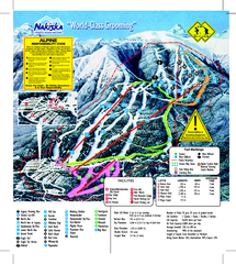
Nakiska Ski Resort Ski Trail Map
Trail map from Nakiska Ski Resort, which provides downhill skiing. This ski area has its own...
814 miles away
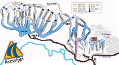
Asessippi Winter Park Ski Trail Map
Trail map from Asessippi Winter Park, which provides downhill skiing. This ski area has its own...
814 miles away

Stanley, British Columbia Map
815 miles away

Rotary Trail Map
815 miles away
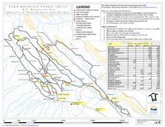
Dawn Mountain Nordic Ski Trail Map
Trail map from Dawn Mountain Nordic.
816 miles away
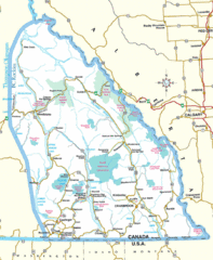
Kootenay Mountains Map
816 miles away
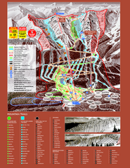
Kicking Horse Resort Ski Trail Map 2008-2009
Trail map from Kicking Horse Resort, which provides downhill and nordic skiing. This ski area has...
817 miles away
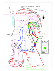
Moose Jaw Cross Country Ski Trail Map
Cross country ski trails around city of Moose Jaw, Saskatchewan, Canada. Shows green, red, and...
817 miles away
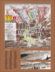
Kicking Horse Ski Trail Map 2007-08
Official ski trail map of Kicking Horse ski area from the 2007-2008 season.
818 miles away
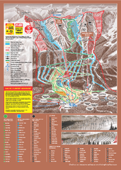
Kicking Horse Ski Trail Map 2009-10
Ski trail map of Kicking Horse ski area for the 2009-2010 season. Features 3 alpine bowls and 70...
818 miles away
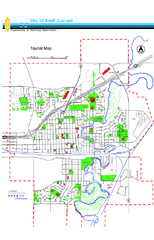
Swift Current Tourist Map
Tourist map of Swift Current, Saskatchewan. Shows all parks and walking paths.
818 miles away
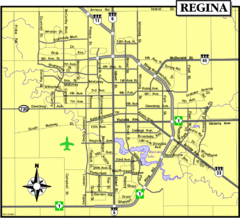
Regina Map
Street map of downtown Regina
818 miles away
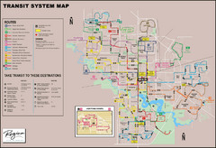
Regina Transit Map
Bus route map of the city of Regina, Saskatchewan, Canada.
818 miles away
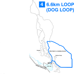
Hallis Lake Dog Loop Ski Trail Map
Trail map from Hallis Lake, which provides night and nordic skiing. This ski area has its own...
819 miles away

Hallis Lake Lighted Ski Trail Map
Trail map from Hallis Lake, which provides night and nordic skiing. This ski area has its own...
819 miles away
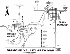
Diamond Valley Area Map
Map of Diamond Valley are, with Turner Valley & Black Diamond oil towns
822 miles away
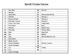
Fortress Bandit Chutes Run Names List Map
Trail map from Fortress, which provides downhill skiing.
823 miles away
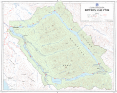
Bowron Lake Park Map
Topographical map of Bowron Lake Park
827 miles away

