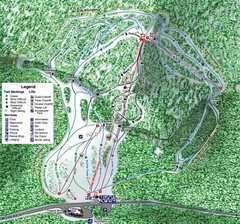
White Pass Ski Area Ski Trail Map
Trail map from White Pass Ski Area, which provides downhill, nordic, and terrain park skiing. It...
1188 miles away
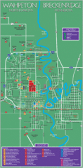
Wahpeton and Breckenridge City Map
City map of Wahpeton, North Dakota and Breckenridge, Minnesota. Shows motels, education...
1188 miles away

Olympia Map
Map of downtown Olympia's parking and shuttle routes.
1189 miles away
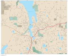
Olympia, Washington City Map
1189 miles away
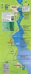
Nipigon River Recreational Trail Map
Map of the river trail between Red Rock and Nipigon.
1190 miles away
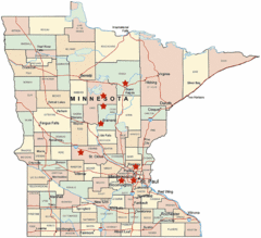
Minnesota County Map
1190 miles away
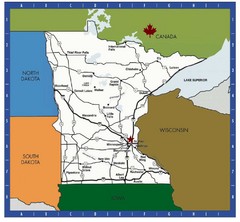
Minnesota Tourist Map
1190 miles away
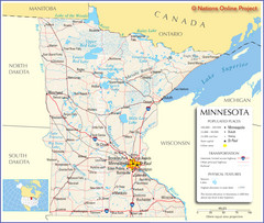
Minnesota Tourist Map
1190 miles away
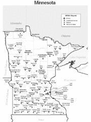
Minnesota Airports Map
1190 miles away
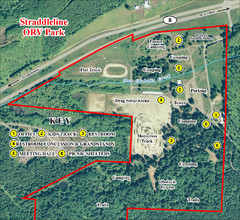
Grays Harbor County Straddleline ORV Park...
Park Map near Olympia
1192 miles away

Mount Baldy Ski Trail Map
Trail map from Mount Baldy, which provides downhill skiing. This ski area has its own website.
1195 miles away
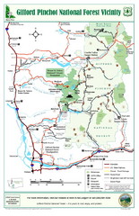
Gifford Pinchot National Forest Vicinity Map
Gifford Pinchot National Forest and surrounding areas including Mt. St Helens.
1196 miles away
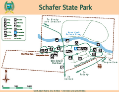
Schafer State Park Map
Map of park with detail of trails and recreation zones
1196 miles away
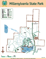
Millersylvania State Park Map
Map of park with detail of trails and recreation zones
1197 miles away
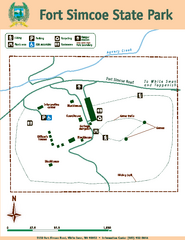
Fort Simcoe State Park Map
Map of park with detail of trails and recreation zones
1198 miles away
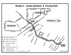
Thunder Bay Transit Map
A proposal to Thunder Bay transit to replace their actual map design for bus routes which are not...
1198 miles away
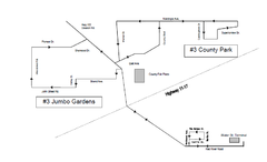
Thunder Bay Transit Map
This is the original map of Thunder Bay Bus Route 3. See my proposal for an improved design.
1199 miles away

Glendalough State Park Map
Map of park with detail of trails and recreation zones
1199 miles away
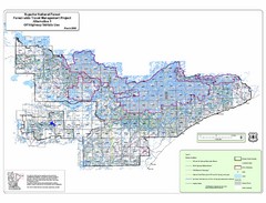
Superior National Park Map
Park Map in Minnesota. Does not include road or highway names
1199 miles away
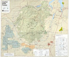
Capitol State Forest Map
1200 miles away
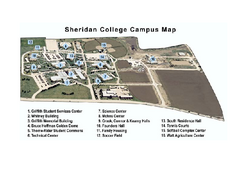
Sheridan College Campus Map
Sheridan College Campus Map. Shows all buildings.
1200 miles away
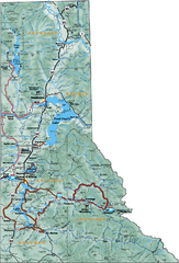
Northern Idaho Road Map
1200 miles away
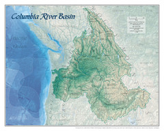
Columbia River Basin Map
1201 miles away
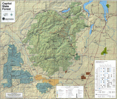
Capitol State Forest Map
Shows all trails in Capitol State Forest and surrounding area, including Lower Chehalis State...
1201 miles away
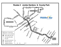
Thunder Bay Transit Map
I made this map after desperately trying to find out how to arrive at my daughters violin class...
1201 miles away
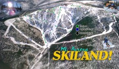
Mt. Aurora Skiland Ski Trail Map
Official ski trail map of Mt. Aurora Skiland ski area
1201 miles away
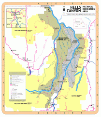
Hells Canyon National Recreation Area Map
Official Forest Service map of the Hells Canyon National Recreation Area. Shows roads, trails...
1201 miles away
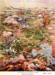
Detail of Yellowstone National Park, 1910 Map
Detail of Yellowstone National Park showing the Oregon Short Line Railroad, 1910
1202 miles away
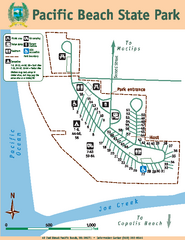
Pacific Beach State Park Map
Map of park with detail of trails and recreation zones
1204 miles away
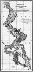
1871 Yellowstone River and Lake Map
Historic guide to the Yellowstone River and Lake in Yellostone National Park
1205 miles away
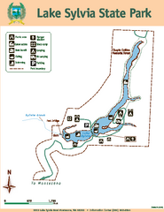
Lake Sylvia State Park Map
Map of island with detail of trails and recreation zones
1205 miles away
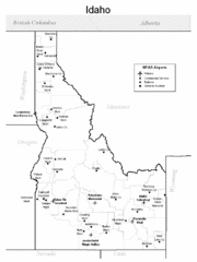
Idaho Airports Map
1207 miles away
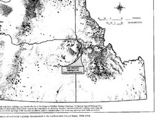
Map of Wolverine Sightings: 1886 -- 1998
1208 miles away
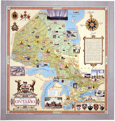
Ontario Tourist Map
1208 miles away
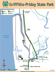
Griffiths-Priday State Park Map
Griffiths-Priday State Park
1209 miles away

Lutsen Mountains Ski Trail Map
Trail map from Lutsen Mountains, which provides downhill and terrain park skiing. It has 10 lifts...
1211 miles away
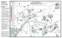
Savanna Portage State Park Summer Map
Summer seasonal map of park with detail of trails and recreation zones
1212 miles away
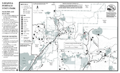
Savanna Portage State Park Winter Map
Winter seasonal map of park with detail of trails and recreation zones
1212 miles away
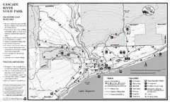
Cascade River State Park Map
Map of park with detail of trails and recreation zones
1212 miles away
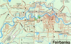
Fairbanks Alaska Map
1212 miles away

