Gull Bay First Nation - How to get there map
A simple route map that tells you how to get to Kiashke Zaaging Anishinaabek (Gull Bay First Nation...
1120 miles away

South Whidbey Island tourist map
Tourist map of South Whidbey Island, Washington. Shows all businesses.
1121 miles away
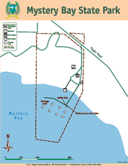
Mystery Bay State Park Map
Map of park with detail of trails and recreation zones
1121 miles away
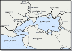
Community of Sooke, British Columbia Map
http://www.sooke.org/maps/map2.htm © Pax Media Inc.
1121 miles away
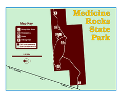
Medicine Rocks State Park Map
As the name implies, Medicine Rocks was a place of "big medicine" where Indian hunting...
1121 miles away
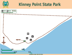
Kinney Point State Park Map
Map of island with detail of trails and recreation zones
1121 miles away

Niagara Peninsula Map
1121 miles away
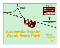
Anaconda Smoke Stack State Park Map
Simple map of State Park.
1122 miles away
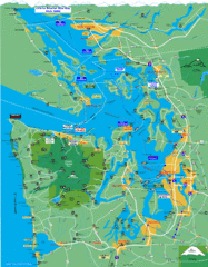
Seattle Ferry Guide Map
Map of ferries around Seattle, Puget Sound and Olympic Peninsula
1123 miles away
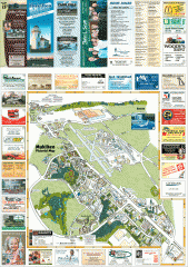
Mukilteo tourist map
Mukilteo, Washington tourist map. Shows all businesses.
1123 miles away
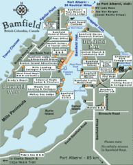
Bamfield Tourist Map
1124 miles away
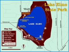
Lake Elmo State Park Map
This urban day-use park attracts visitors to swim, sailboard, and fish. A display in the Fish...
1125 miles away

West Coast Trail Map
1126 miles away
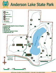
Anderson Lake State Park Map
Map of park and trails
1126 miles away
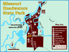
Missouri Headwaters State Park Map
This park encompasses the confluence of the Jefferson, Madison and Gallatin Rivers. The Lewis and...
1126 miles away

Buena Vista Ski Area Frontside Ski Trail Map
Trail map from Buena Vista Ski Area.
1127 miles away

Buena Vista Ski Area Backside Ski Trail Map
Trail map from Buena Vista Ski Area.
1127 miles away
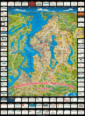
Puget Sound biotech map
Map of Puget Sound area biotechnology companies.
1128 miles away
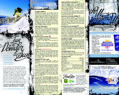
Mission Ridge Ski Area Ski Trail Map
Trail map from Mission Ridge Ski Area, which provides downhill, night, and terrain park skiing. It...
1129 miles away
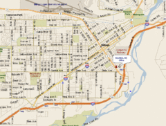
Billings, Montana City Map
1129 miles away

Woodinville tourist map
Tourist map of Woodinville, Washington. Shows all businesses.
1129 miles away
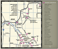
Woodinville Wine Country Map
Map of wineries in the Woodinville, WA area
1129 miles away
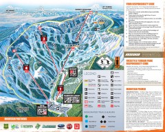
Mission Ridge Ski Trail Map
Official ski trail map of Mission Ridge ski area from the 2007-2008 season.
1130 miles away
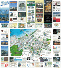
Downtown Edmonds tourist map
Tourist map of Downtown Edmonds, Washington. Shows all businesses.
1130 miles away
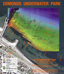
Edmonds Underwater Park Map
Map of underwater park for divers
1130 miles away
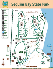
Sequim Bay State Park Map
Map of park with detail of trails and recreation zones
1130 miles away
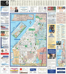
Edmonds tourist map
Tourist map of Edmonds, Washington. Shows all businesses.
1131 miles away

Bridger Bowl Ski Area Ski Trail Map
Trail map from Bridger Bowl Ski Area.
1131 miles away
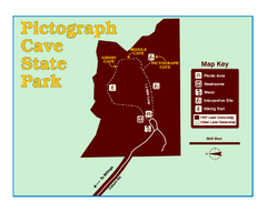
Pictograph Cave State Park Map
The 2,730-square-foot building, on the northwestern side of the existing parking lot, is designed...
1132 miles away
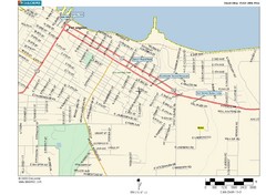
Port Angeles City Map
1132 miles away
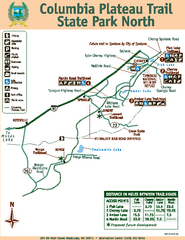
Columbia Plateau Trail State Park North Map
Map of park with detail of trails and recreation zones
1133 miles away
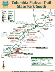
Columbia Plateau Trail State Park South Map
Map of park with detail of trails and recreation zones
1133 miles away
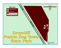
Greycliff Prairie Dog Town State Park Map
Grab your camera and hop off Interstate 90 at Greycliff to delight in the playful, curious black...
1133 miles away
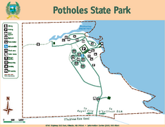
Potholes State Park Map
Map of park with detail of trails and recreation zones
1133 miles away
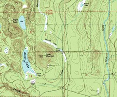
Fuller Mountain Topo Map
Fuller Mountain map with lakes, mountains and elevations identified.
1133 miles away
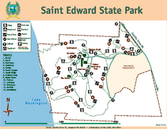
Saint Edward State Park Map
Map of park with detail of trails and recreation zones
1133 miles away

Shadowrun Redmond Map
1134 miles away
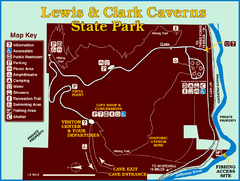
Lewis and Clark Caverns State Park Map
Montana's first and best-known state park showcases one of the most highly decorated limestone...
1134 miles away

