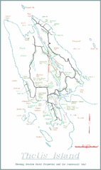
Thetis Island Map
Thetis Island map showing roads, properties, and the community trail.
1083 miles away

Helena, Montana City Map
1083 miles away
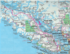
Vancouver Island Road Map
1083 miles away
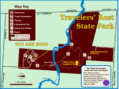
Travelers' Rest State Park Map
The Lewis and Clark expedition camped here twice during their historic journey to locate the...
1084 miles away
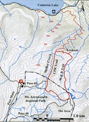
Mt. Arrowsmith Park CPR Historic Trail Map
Trail map of Mt. Arrowsmith Regional Park CPR Historic Trail, Vancouver Island
1085 miles away
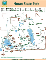
Moran State Park Map
Map of park with detail of trails and recreation zones
1086 miles away
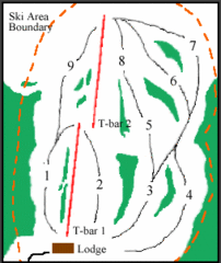
Mount Arrowsmith (Upper) Ski Trail Map
Trail map from Mount Arrowsmith (Upper).
1086 miles away
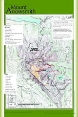
Mount Arrowsmith Climbing Route Map
Climbing routes on Mount Arrowsmith, Vancouver Island
1087 miles away
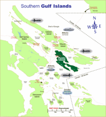
Southern Gulf Islands Map
Map of the region. Shows ferry routes.
1087 miles away
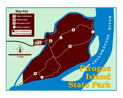
Pirogue Island State Park Map
Visitors find this isolated and undeveloped cottonwood-covered Yellowstone River island an...
1088 miles away
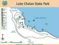
Lake Chelan State Park Map
Map of island with detail of trails and recreation zones
1088 miles away
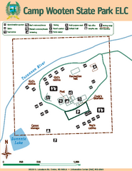
Camp Wooten State Park Map
Map of park with detail of trails and recreation zones
1088 miles away
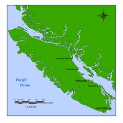
Vancouver Island Overview Map
Town of Parksville highlighted.
1089 miles away
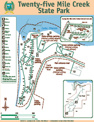
Twenty-Five Mile Creek State Park Map
Map of park with detail of trails and recreation zones
1089 miles away
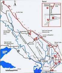
Log Train Trail Map
Trail map of the Log Train Trail near Port Alberni, Vancouver Island
1089 miles away
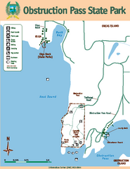
Obstruction Pass State Park Map
Map of park with detail of trails and recreation zones
1090 miles away
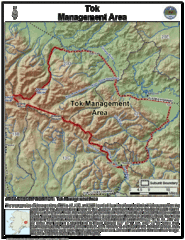
Tok, Alaska Tourist Map
1090 miles away

Orcas tourist map
Tourist map of Orcas, Washington. Shows all businesses.
1092 miles away
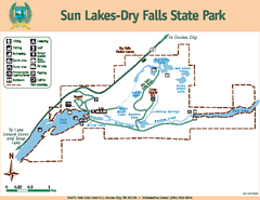
Sun Lakes-Dry Falls State Park Map
Map of park with detail of trails and recreation zones
1093 miles away
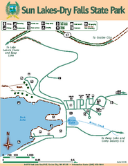
Sun Lakes-Dry Falls State Park Map
Map of park with detail of trails and recreation zones
1093 miles away
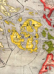
San Juan County Washington, 1909 Map
1093 miles away
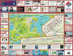
Anacortes tourist map
Tourist map of Anacortes, Washington. Shows recreation and points of interest.
1093 miles away
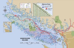
Vancouver Island Map
1094 miles away
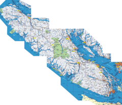
Vancouver Island Map
Detailed map of Vancouver Island, British Columbia. Shows towns, roads, and parks.
1094 miles away
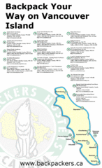
Vancouver Island Backpacking Map
Shows hostels on Vancouver Island, BC
1094 miles away
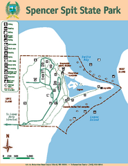
Spencer Spit State Park Map
Map of park with detail of trails and recreation zones
1094 miles away
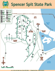
Spencer Spit State Park Map
Map of park with detail of trails and recreation zones
1094 miles away
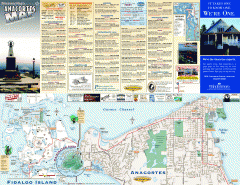
Fidalgo Island tourist map
Tourist map of Fidalgo Island in Anacortes, Washington. Shows recreation and points of interest.
1095 miles away
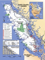
Vancouver Island Road Map
1095 miles away
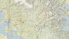
Central Baffin Island Map
1096 miles away
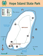
Hope Island State Park Map
Map of park with detail of trails and recreation zones
1096 miles away
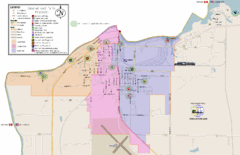
International Falls City Map
City map of International Falls, Minnesota. Shows playgrounds and other points of interest.
1097 miles away

Arctic Refuge Coastal Plain Map
Guide to birthplace and nursery grounds of the porcupine caribou herd
1097 miles away
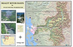
Skagit River Map
Skagit River Basin Overview Map (Pink shading is the FEMA 100 Year Flood)
1098 miles away
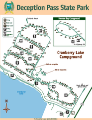
Deception Pass State Park Map
Map of park with detail of trails and recreation zones
1098 miles away
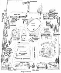
San Juan County Fair Map 2008
Fairgrounds map for the San Juan County Fair, Friday Harbor, Washington
1098 miles away
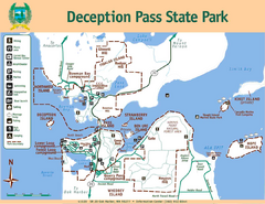
Deception Pass State Park Map
Map of park with detail of trails and recreation zones
1098 miles away

The Town of Sidney - Parks Map
1098 miles away

San Juan Island tourist map
San Juan Island and Friday Harbor tourist map. Shows all businesses.
1099 miles away
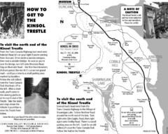
Kinsol Trestle Map
Map of the Kinsol Trestle
1100 miles away

