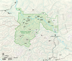
Yukon-Charley Rivers National Preserve Map
Detailed map of Yukon-Charley Rivers National Preserve in Alaska
1067 miles away
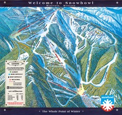
Montana Snowbowl Ski Trail Map
Trail map from Montana Snowbowl.
1068 miles away
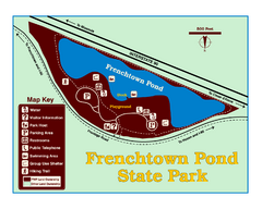
Frenchtown Pond State Park Map
Plan to bring everyone in the family to this day-use-only park for a whole afternoon of picnicking...
1069 miles away
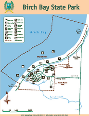
Birch Bay State Park Map
Map of park with detail of trails and recreation zones
1070 miles away
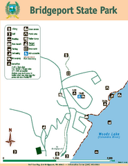
Bridgeport State Park Map
Map of park with detail of trails and recreation zones
1071 miles away
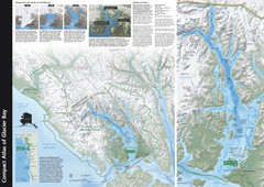
Glacier Bay National Park Map
Map of Glacier Bay National Park includes historical information about the bay as well as a...
1072 miles away
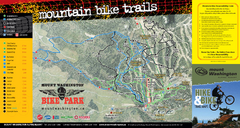
Mt. Washington Resort Summer Mountain Biking Ski...
Trail map from Mt. Washington Resort, which provides downhill and nordic skiing.
1073 miles away
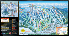
Mt. Washington Resort Ski Trail Map
Trail map from Mt. Washington Resort, which provides downhill and nordic skiing.
1073 miles away
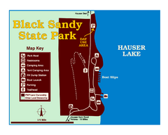
Black Sandy State Park Map
Simple but clear map of State Park.
1073 miles away
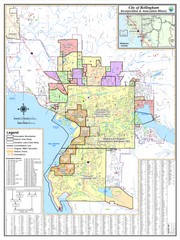
Bellingham, Washington City Map
1073 miles away
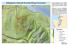
Bellingham Galbraith Mountain Biking Trail Map
Mountain biking trail map of Whatcom Falls Park near Bellingham, WA
1073 miles away
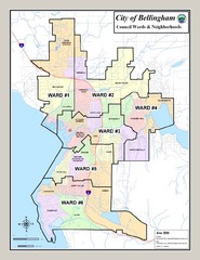
Bellingham Ward Map
Guide to wards in Bellingham, WA
1073 miles away
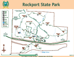
Rockport State Park Map
Map of park with detail of trails and recreation zones
1073 miles away
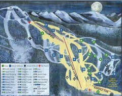
Marshall Mountain Ski Trail Map
Trail map from Marshall Mountain.
1073 miles away
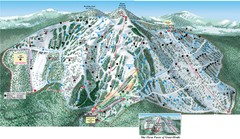
Great Divide Ski Area Ski Trail Map
Trail map from Great Divide Ski Area.
1074 miles away
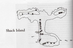
Shack Island Map
Illustration taken from the book "Shack Island" by Ruth English Matson. 2004.
1074 miles away
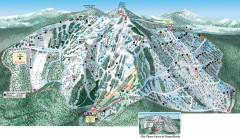
Great Divide Ski Trail Map
Official ski trail map of Great Divide ski area from the 2007-2008 season.
1074 miles away
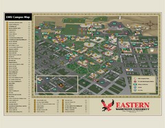
Eastern Washington University Campus Map
Campus map of Eastern Washington University in Cheney, Washington
1074 miles away

Red River State Recreation Area Map
map of recreation area with detail of trails and recreation zones
1074 miles away
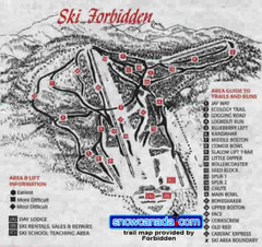
Pre-1999 Forbidden Plateau Map #2
Trail map from Forbidden Plateau.
1075 miles away
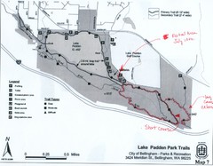
Lake Padden Park Trails Map
Course Elevation Map noted in handwriting on map. Festival location noted as well.
1076 miles away
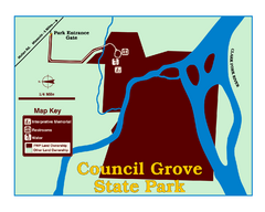
Council Grove State Park Map
Clearly marked map.
1076 miles away
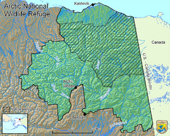
Arctic National Wildlife Refuge Boundary Map
Guide to the Arctic National Wildlife Refuge in Alaska
1076 miles away

Missoula, Montana City Map
1077 miles away
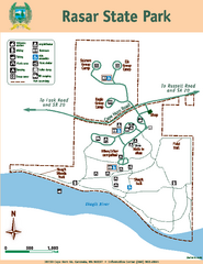
Rasar State Park Map
Map of park with detail of trails and recreation zones
1077 miles away
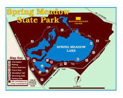
Spring Meadow Lake State Park Map
This urban, day-use-only park minutes from Helena fed by natural springs, is a popular spot for...
1077 miles away
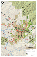
Missoula Bike Trails Map
Road and Mt. Bike trails with a bit of topology near Missoua
1077 miles away

Missoula Trail System Map
Basic Map of Hike/Bike/Run Trail system for Missoula MT
1077 miles away
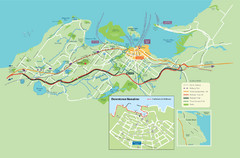
Nanaimo City Map
Map of Nanaimo, BC. Shows trails and parks.
1078 miles away
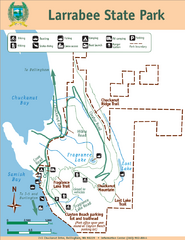
Larrabee State Park Map
Park map of Larrabee State Park, Washington.
1079 miles away
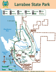
Larrabee State Park Map
Map of island with detail of trails and recreation zones
1079 miles away
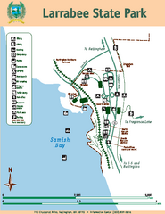
Larrabee State Park Map
Map of island with detail of trails and recreation zones
1079 miles away
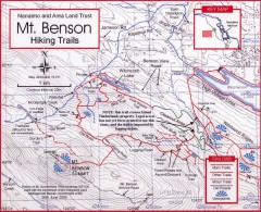
Mt. Benson Hiking Trail Map
Show hiking trails in the Nanaimo and Area Land Trust containing Mt. Benson. Also shows roads and...
1080 miles away
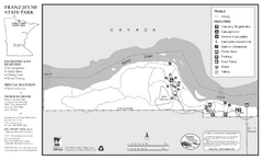
Franz Jevne State Park Map
Map of park with detail of trails and recreation zones
1080 miles away
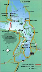
British Columbia, Canada Tourist Map
1081 miles away
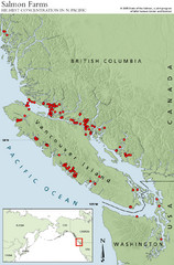
BC Salmon Farms Map
Shows fishfarms in BC around Vancouver Island, highest concentration of fish farms in North Pacific
1082 miles away

Skagit County Washington, 1909 Map
1083 miles away

