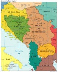
Central Balkan Political Map
187 miles away
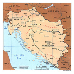
West Balkan States Tourist Map
187 miles away
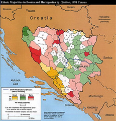
Ethnic Majorities in Bosnia and Herzegovina Map
187 miles away
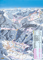
Reit im Winkl Ski Trail Map
Trail map from Reit im Winkl.
187 miles away

Norcia Map
188 miles away
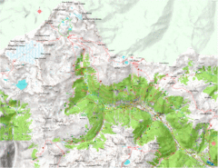
Val di Rabbi Topo Map
Detailed topographic map of Val di Rabbi, Italy on the edge of Stelvio National Park
188 miles away

Teramo Map
188 miles away

Desenzano del Garda vicinity Map
189 miles away

Desenzano del Garda vicinity Map
189 miles away

Central Italy Aerial Guide Map
189 miles away

Bevagna Map
189 miles away
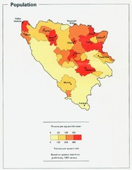
Bosnia and Herzegovina Population Density Map
Map of Bosnia and Herzegovina's population density
189 miles away

Gardone Riviera Map
189 miles away

Hvar Island Map
Nautical map of the island of Hvar. Town of Sucuraj highlighted.
189 miles away

Desenzano del Garda Map
189 miles away

Trevi Map
189 miles away

Island of Hvar Map
Map of the Island Hvar, Croatia showing roads and cities.
189 miles away
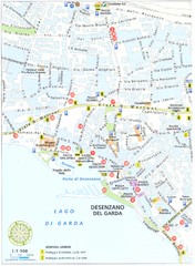
Desenzano del Garda Map
189 miles away

Salo and Gardone Map
190 miles away

Desenzano Map
190 miles away
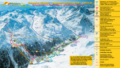
Pfelders Ski Trail Map
Trail map from Pfelders, which provides downhill and nordic skiing. This ski area has its own...
190 miles away
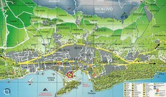
Makarska Tourist Map
190 miles away
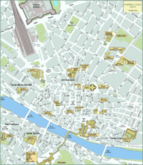
Florence Tourist Map
Shows museums and other points of interest in central Florence, Italy.
190 miles away

Florence ATAF Bus Line Map
190 miles away
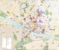
Florence Map
190 miles away
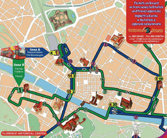
Florence Bus Tour Map
190 miles away
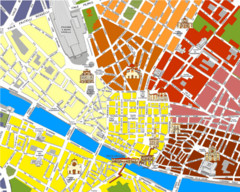
Florence Tourist Map
190 miles away
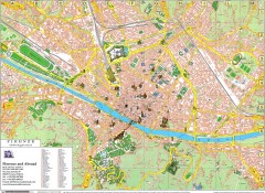
Florence Map
Map of central Florence (Firenze), Italy. Shows drawings of major buildings and has numerical key.
190 miles away
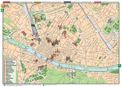
Florence Tourist Map
Tourist map of the historical center of Florence, Italy. Shows major attractions.
190 miles away

Montefalco Map
190 miles away
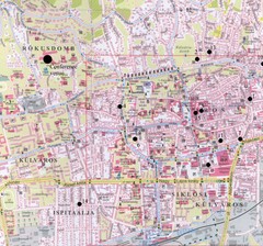
Pecs City Map
190 miles away
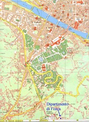
South-West Area of Florence Map
Map of the South-West Area of Florence with the Physics Department of the University of Florence...
191 miles away

Salo Map
191 miles away

Salo Map
191 miles away
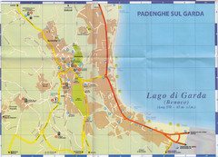
Padenghe sul Garda Map
191 miles away
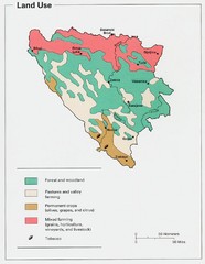
Bosnia and Herzegovina Land Use Map
Map of Bosnia's land use
191 miles away
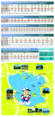
Lago Trasimeno Map
191 miles away
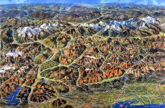
Eastern Alps Italy and Austria Overview Map
Panoramic map of the mountains and towns of northern Italy, the Tyrol, and southern Austria
192 miles away
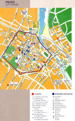
Prato Tourist Map
Tourist map of center of the city of Prato, Italy. Shows points of interest.
193 miles away

