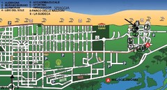
bibione - lido del sole Map
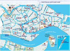
bibione & bibione lido del sole
71 miles away
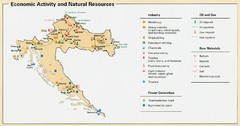
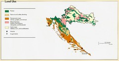
Croatia Economic Activity Map
Map of Croatia's economic activity and natural resources
71 miles away

bibione Map
71 miles away
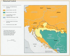
Croatia Historical Control Map
72 miles away
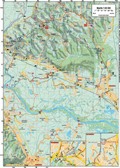
Sulta and Sava Croatia Cycling Route Map
the trails on this map are through picturesque hills to the confluence of the Sutla and Sava Rivers...
74 miles away
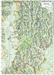
Villages and Sutla River Valley Bike Route Map
Bike routes and trails through the villages to the Sutla River Valley in Croatia. Note: The map...
79 miles away
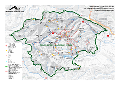
Triglav National Park Map
Triglav National Park is the only Slovenian national park. The park was named after Triglav, the...
79 miles away
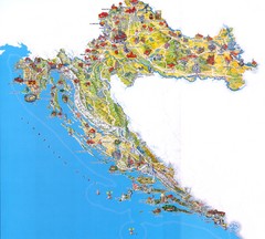
Croatia Tourist Map
Attractions and locations in Croatia
79 miles away
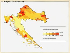
Croatia Population Density Map
Map of Croatia's population density
81 miles away
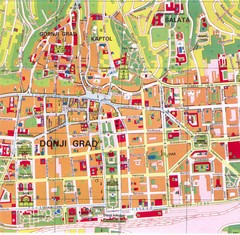
Zagreb Tourist Map
Tourist map of central Zagreb, Croatia. Shows major buildings.
82 miles away
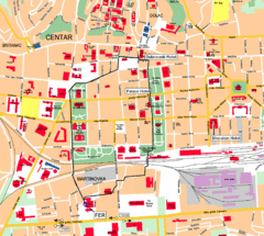
Zagreb Center Map
82 miles away
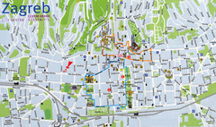
Zagreb Croatia Tourist Map
Zagreb City Centre Tourist map showing tourist attractions, hotels, tourist information and city...
82 miles away
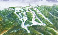
Medvednica Ski Trail Map
Trail map from Medvednica.
84 miles away
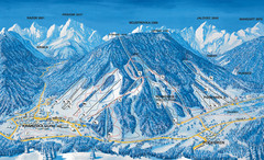
Kranjska Gora Ski Trail Map
Ski trail map of Kranjska Gora ski area.
86 miles away
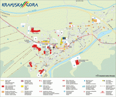
Kranjska Gora town map
Blurb from town website: The Zgornjesavska Valley is one of the most breathtaking alpine valleys...
86 miles away
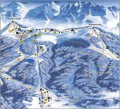
Arnoldstein—Dreiländereck Ski Trail Map
Trail map from Arnoldstein—Dreiländereck, which provides downhill skiing. It has 8 lifts. This...
91 miles away
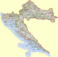
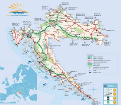
Croatia Tourist Map
96 miles away
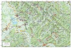
Bike Route starting in Ivanić-Grad Map
Bike route and trails through the cradle of Croatia’s oil drilling industry and the wondrous...
98 miles away
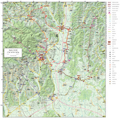
Zagreb County Cycling Route Map
Shows a cycling route in Zagreb County, Croatia. From the Roman “Magna Vie” near Komin...
101 miles away
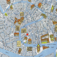
Venice Guide Map
102 miles away
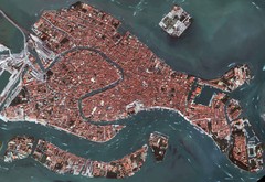
Venice Aerial Map
Aerial map of Venice, Italy. Shows points of interest.
102 miles away
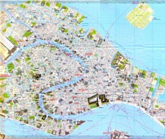
Venice Street Map
Detailed street map of Venice, Italy showing major landmarks, canals, and buildings.
102 miles away
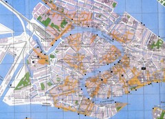
Venice Italy Tourist Map
Map of Venice, Italy showing tourist sites, plazas and churches.
103 miles away
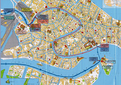
Venice Tourist Map
103 miles away
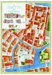
the old jewish ghetto of venezia Map
a bird's eye view of the ghetto of venezia.
103 miles away
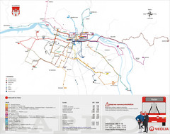
Maribor Bus Map
A map of bus lines in Maribor, Slovenia (Slovenian).
103 miles away
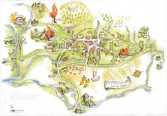
Tramonti di Sopra Tourist Map
Tourist map of town and surrounding area of Tramonti di Sopra, Italy. Drawing shows streets...
104 miles away
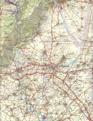
Northern Italy Tourist Map
Pordenone, Coltura, Polcenigo, Italy
105 miles away
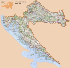
Croatia Road Map
106 miles away
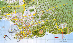
Biograd na Moru Map
108 miles away
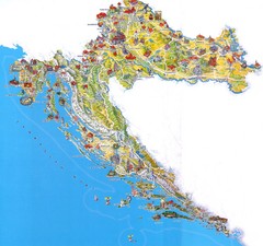
Tourist Map of Croatia
109 miles away
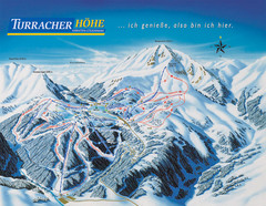
Turracher Höhe Ski Trail Map
Trail map from Turracher Höhe.
112 miles away
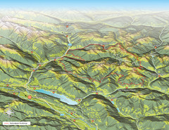
Nockberge National Park Map
Outline map of Nockberge National Park, Austria in the summer. Shows surrounding towns.
112 miles away
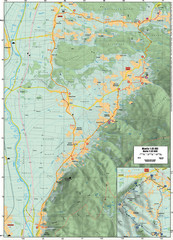
Cycling Paths in Croatia - Medvednica Nature Park...
Bike Paths and Routes for the picturesque western foothills of Medvednica Nature Park. Note: The...
116 miles away

