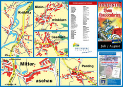
Neunburg vorm Wald District Map
Tourist street map of districts of Neunburg
294 miles away
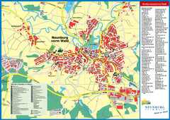
Neunburg vorm Wald Map
Tourist street map of Neunburg vorm Wald
294 miles away
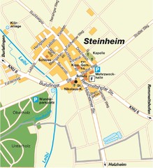
Ulm Steinheim Map
Street map of town of Ulm Steinheim
295 miles away
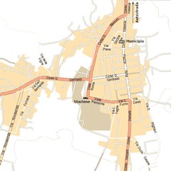
Gattinara Map
295 miles away
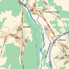
Gattinara Map
295 miles away

Montenegro Tourist Map
295 miles away

Acqui Termi Map
295 miles away
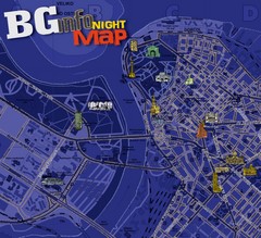
Belgrade Night Map
Tourist map of Belgrade, Serbia with recommendations for nightlife. Published quarterly in...
295 miles away

Andermatt (Hospental) Ski Trail Map
Trail map from Andermatt (Hospental).
296 miles away
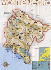
Montenegro Map
296 miles away

Arkabarka Hostel Location Map
296 miles away
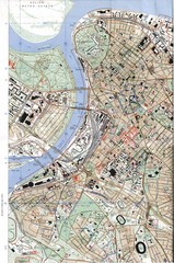
Belgrade Map
City map of Belgrade, Serbia (Beograd)
296 miles away
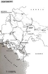
Montenegro Map
297 miles away
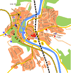
Harburg Map
Street map of Harburg town
297 miles away
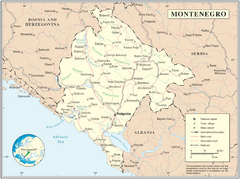
Montenegro map
298 miles away
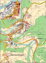
Pappenheim Map
Street map of Pappenheim
298 miles away
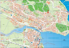
Konstanz City Map
298 miles away
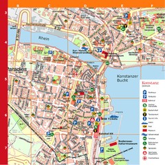
Konstanz Tourist Map
Tourist map of Konstanz
298 miles away
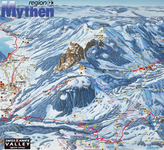
Brunni-Alpthal Ski Trail Map
Trail map from Brunni-Alpthal.
299 miles away
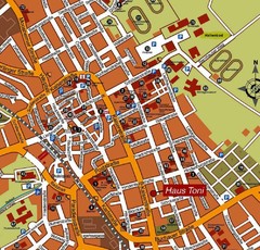
Bad Saulgau Tourist Map
Tourist street map of Bad Saulgau town center
299 miles away
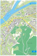
Trencin Tourist Map
Tourist map of Trencin, Slovakia. Shows points of interest.
299 miles away
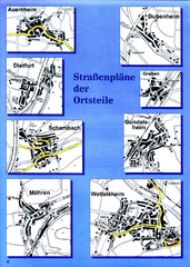
Treuchtlingen Districts Map
Street map of districts within the Treuchtlingen region
301 miles away
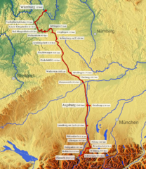
Romantische Strasse Map
301 miles away
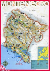
Montenegro tourist Map
302 miles away
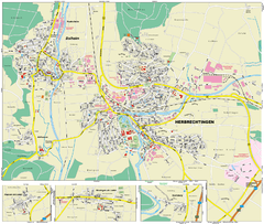
Herbrechtingen Map
Street map of city of Herbrechtingen
304 miles away
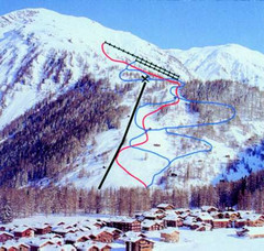
Hungerberg Ski Trail Map
Trail map from Hungerberg, which provides downhill skiing. It has 3 lifts. This ski area has its...
304 miles away
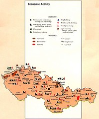
Czechoslovakia Economic Activity Map
Map of economic activity throughout region
304 miles away

Elevation Profile for Klasik Route Map
Elevation Profile for Klasik Route Map for 2008 for Dubnicky Marathon
305 miles away
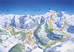
Engelberg Titlis Ski Trail Map
Trail map from Engelberg Titlis.
305 miles away
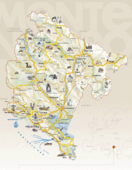
Montenegro Tourist Map
305 miles away
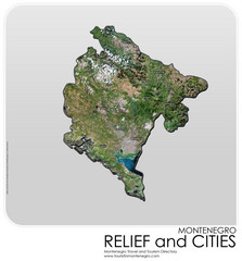
Montenegro Physical Map
305 miles away
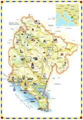
Montenegro Landmark Map
305 miles away
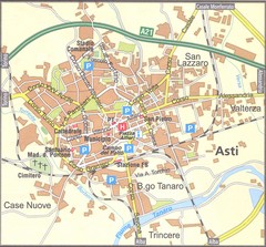
Asti Map
305 miles away
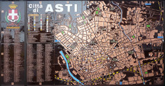
Asti map at stazione
305 miles away
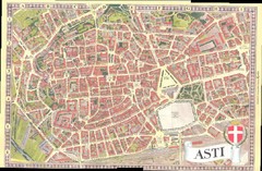
Asti Map
305 miles away
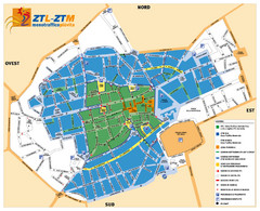
Asti Traffic Zone Map
Traffic zone map of city of Asti, Italy from the ZTL (Zona Traffico Limitado).
305 miles away
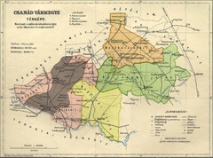
Csanád vármegye Map
306 miles away

Danube River Basin by Maps Illustrated Map
Map from Diplomat magazine from an article on the economic region based on the Danube Basin
306 miles away

