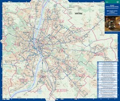
Budapest Night Bus Routes Map
Map of night bus routes in Budapest, Hungary
266 miles away
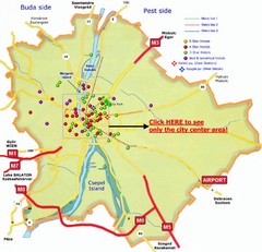
Budapest Hotel Map
266 miles away
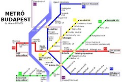
Budapest Metro Map
266 miles away
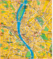
Budapest Tourist Map
266 miles away
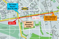
Local Budapest Tourist Map
Stores, main streets and locations in Central Budapest
266 miles away
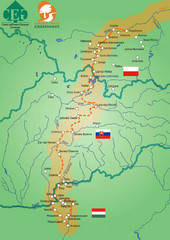
Amber Trail Budapest-Krakow Map
Amber Trail map showing the trail from Budapest to Krakow where you will see several heritage sites.
266 miles away
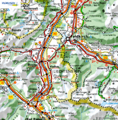
Liechtenstein road Map
266 miles away
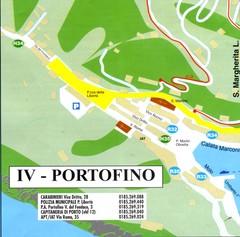
Portofino Map
266 miles away
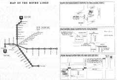
Central European University Metro and Bus Line Map
266 miles away
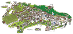
Vaduz Town Map
Tourist map of town of Vaduz, Liechtenstein. Panoramic view shows buildings and streets.
266 miles away
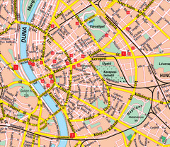
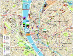
Budapest Street Map
Street map of central Budapest, Hungary.
267 miles away
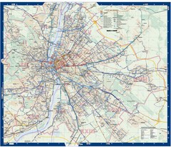
Budapest Public Transit map
267 miles away
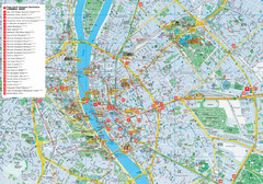
Budapest Hotel Map
Tourist map of Budapest, Hungary. Shows all hotels.
267 miles away

Camogli Map
268 miles away
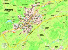
Lindenberg im Allgäu Map
Street map of Lindenberg
268 miles away
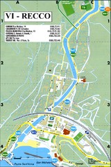
Recco Map
268 miles away
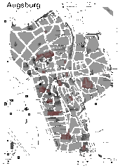
Augsburg Tourist Map
Shows central Augsburg and its sights.
269 miles away
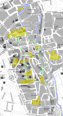
Augsburg Tourist Map
Tourist street map of downtown Augsburg
269 miles away
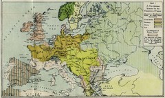
Extinction of France Map 1918
Shows pan-German scheme for the Extinction of France, 1918. As given in "Frankreich's...
269 miles away
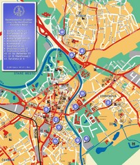
Nitra City Map
City map of central Nitra, Slovakia
269 miles away
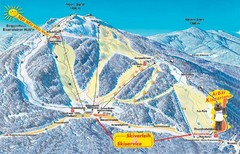
Arber Ski Trail Map
Trail map from Arber.
269 miles away
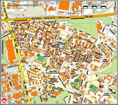
Pomezia Tourist Map
Tourist map of center of Pomezia, Italy. Shows points of interest with symbols (hard to read).
271 miles away
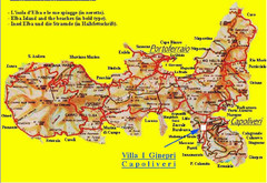
Elba topographic Map
271 miles away
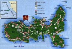
Elba Tourist Map
Tourist map of the island of Elba, Italy. Shows points of interest.
271 miles away

Bácsföldvár Map
272 miles away
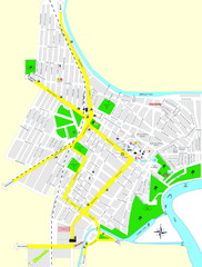
Óbecse Map
272 miles away
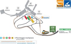
Fiumicino Airport Map
273 miles away
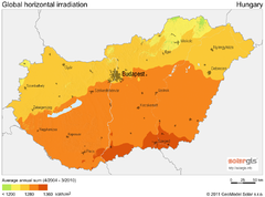
Solar Radiation Map of Hungary
Solar Radiation Map Based on high resolution Solar Radiation Database: SolarGIS. On the Solar Map...
273 miles away
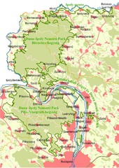
Duna-Ipoly Nemzeti Park Map
Overview map of Duna-Ipoly Nemzeti Park (Danube-Ipoly National Park) north of Budapest, Hungary
274 miles away
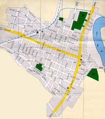
Péterréve Map
275 miles away
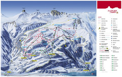
Flumserberg Ski Trail Map
Trail map from Flumserberg.
275 miles away
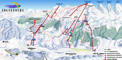
Toggenburg Ski Trail Map
Trail map from Toggenburg.
276 miles away
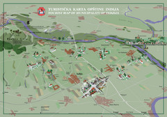
Indija Tourist Map
Tourist map of municipality of Indija, Serbia
276 miles away
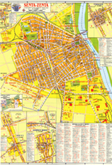
Zenta Map
276 miles away
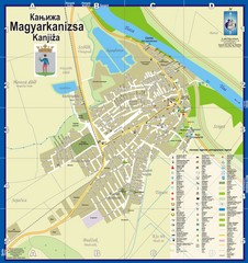
Kanizsa City Map
City map of Kanjiza, Serbia. Shows businesses.
276 miles away
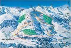
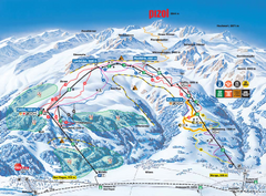
Brigels Ski Trail Map
Trail map from Brigels.
277 miles away
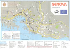
Genova Map
277 miles away

