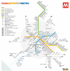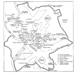
Rome Italy Ruins Map
Tourist Map showing the ruins and tourist sites for Rome, Italy.
257 miles away
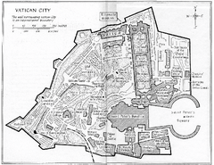
Vatican City Map
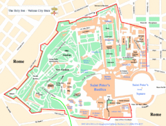
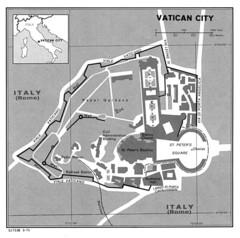
City map of Vatican City. Shows major points of interest. Scanned.
257 miles away
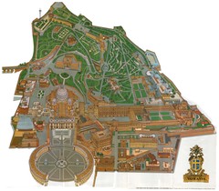
Vatican City Map
257 miles away
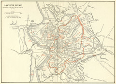
Ancient Rome Map
Shows places and buildings dating fromt he republic in red superimposed on modern day Rome
257 miles away
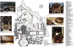
Vatican City Map
City map of Vatican City with attractions
257 miles away
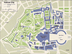
Vatican Map
257 miles away
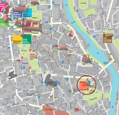
Kempten im Allgäu Tourist Map
Tourist street map of Kempten im Allgäu
257 miles away
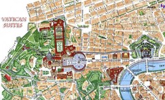
Vatican and surrounding area Map
257 miles away
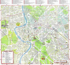
Rome (Roma) Map
Detailed Tourist Map of Rome, Italy
257 miles away
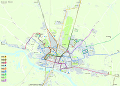
Pavia Map
257 miles away
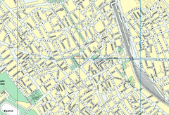
Szabadka belváros Map
258 miles away
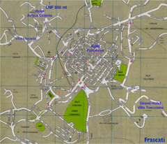
Frascati Tourist Map
259 miles away
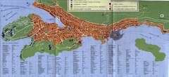
Dubrovnik City Map
City map of Dubrovnik, Croatia. Street index and shows services. Scanned.
260 miles away
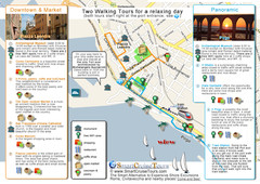
Port of Rome (Civitavecchia) map
Map of Civitavecchia, the port of Rome, with 2 walking itineraries
260 miles away
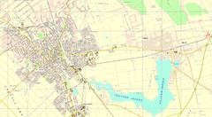
Szabadka és környéke Map
260 miles away
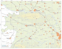
Urban areas in Srem region (Vojvodina, Serbia) Map
Srem is a part of Vojvodina province between river Sava and Danube. Largest places are Sremska...
260 miles away
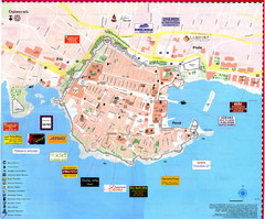
Dubrovnik Map
261 miles away
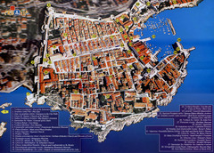
Old Town Dubrovnik Tourist Map
Tourist map of old town Dubrovnik, Croatia. Shows churches, forts, squares, and other points of...
261 miles away
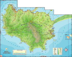
Monte Argentario Overview Map
Overview map of Monte Argentario, Italy, quasi-island in Tuscany
261 miles away
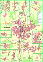
Mainburg Map
Street map of Mainburg city and surrounding region
261 miles away
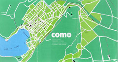
Como City Map
City map and historical sites of Como, Italy.
261 miles away
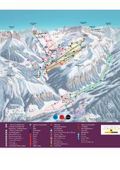
Malbun Ski Trail Map
Ski trail map of area surrounding Malbun, Liechtenstein. Also shows walking routes.
261 miles away
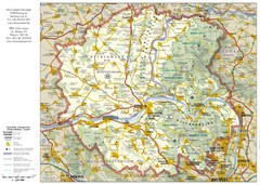
Duna-Ipoly Nemzeti National Park Map
Reference map of Duna-Ipoly Nemzeti National Park and surrounding area north of Budapest, Hungary
262 miles away
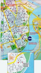
Novi Sad City Map
City map of central Novi Sad, Serbia. Bus route to a conference drawn on top of scanned map.
263 miles away
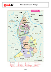
Liechtenstein Regional Map
Country map with detail of regional divides
264 miles away
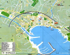
Rapallo Map
264 miles away

Temerin Map
265 miles away
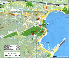
Santa Margherita Ligure Map
265 miles away
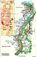
Liechtenstein Principality Map
266 miles away
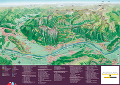
Liechtenstein Tourist Map
Tourist map of the country of Liechtenstein. Panoramic view shows all towns, trails, and mountains.
266 miles away
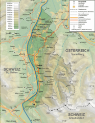
Liechtenstein topography Map
266 miles away
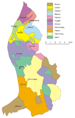
Liechtenstein Tourist Map
266 miles away
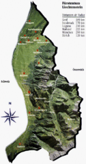
Liechtenstein Tourist Map
266 miles away
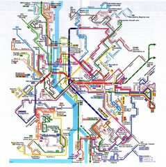
Budapest Public Transportation Map
266 miles away
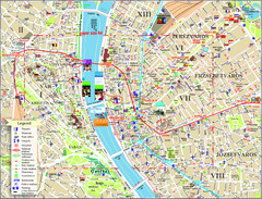
Budapest Tourist Map
Tourist map of central Budapest, Hungary. Shows theaters, museums, post offices, churches, and...
266 miles away

