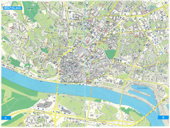
Bratislava Tourist Map
Tourist map of Bratislava, Slovakia. Shows points of interest.
233 miles away
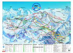
Ischgl – Galtur Ski Trail Map
Trail map from Ischgl – Galtur.
234 miles away
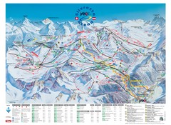
Ischgl – Galtur Ski Trail Map
Trail map from Ischgl – Galtur.
234 miles away
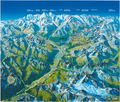
Engadin St. Moritz Region Summer Map
Summer panoramic tourist map of Engadin region of Switzerland. Includes St. Moritz, Piz Bernina...
235 miles away

Central Balkan Map
Countries in Central Europe
235 miles away

St. Moritz Tourist Map
Tourist map of St. Moritz, Switzerland. Shows summer and winter points of interest.
236 miles away
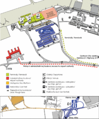
Bratislava Airport Map
236 miles away
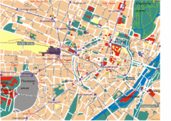
Munich Tourist Map
Tourist map of central Munich (München), Germany.
237 miles away
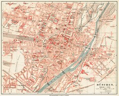
Munich Map
237 miles away

Munich public transportation system Map
This MVV network map, probably the best known one, shows all lines and stops for the urban rail and...
237 miles away
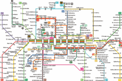
Munich Metro Map
Metro map of Munich, Germany. In German.
237 miles away
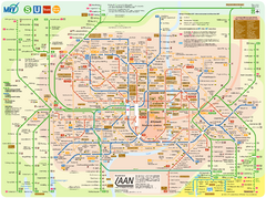
Munich Public Transportation Map
237 miles away
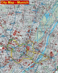
Munich City Map
City map of Munich, Germany
237 miles away
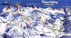
Arlberg – St Anton Ski Trail Map
Trail map from Arlberg – St Anton.
237 miles away
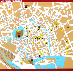
Livorno Tourist Map
Tourist map of historical center of Livorno, Italy. Shows tourist points of interest.
238 miles away
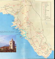
Tellaro Trail Map
Trail map showing marked and unmarked paths and other tourist points of interest. In English.
238 miles away
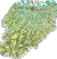
Piacenza Province Map
Physical map of Piacenza Province, Italy
239 miles away
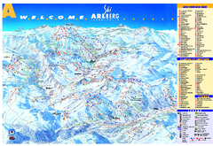
St Anton Region Ski map
Panoramic ski map covers St. Anton, St. Christoph, St. Jakob, Stuben, Zurs, Zug, Lech, and Oberlech...
240 miles away
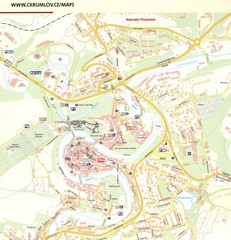
Cesky Krumlov Czech Republic Tourist Map
Tourist map of Cesky Krumlov, Czech Republic. Shows wc, buildings of historical interest and...
241 miles away

La Spezia Ferry Map
241 miles away
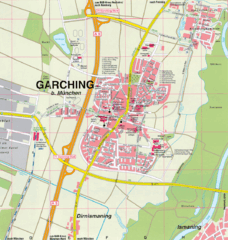
Garching bei München Map
Street map of Garching bei München
241 miles away
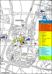
Garching Tourist Map
Tourist map of Garching bei Munchen, Germany. Shows hotels, restaurants and the most important bus...
241 miles away
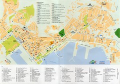
Spezia Map
242 miles away

Grosseto Map
242 miles away
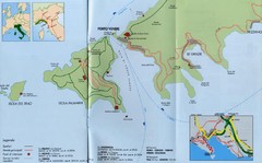
Porto Venere Map
243 miles away
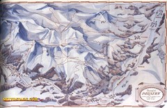
Davos-Klosters Ski Trail Map
Trail map from Davos-Klosters.
243 miles away
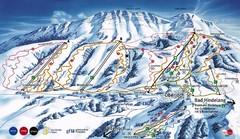
Oberjoch-Unterjoch Ski Trail Map
Trail map from Oberjoch.
243 miles away
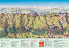
Davos Schatzalp Summer Trail Map
Trail map showing summer trails and lifts at Davos Schatzalp in Davos, Switzerland.
244 miles away

Bajmok Map
245 miles away
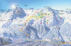
Montafon Ski Trail Map
Trail map from Montafon.
245 miles away
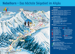
Oberstdorf Ski Trail Map
Trail map from Oberstdorf.
245 miles away
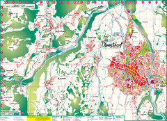
Oberstdorf City Map
City map of Oberstdorf, Germany and surrounding area. Shows buildings and ski lifts. In German.
245 miles away
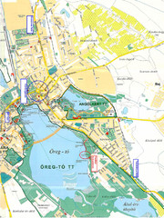
Tatai Öreg-tó Map
246 miles away
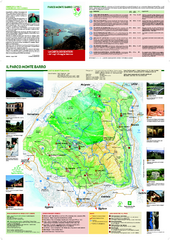
Monte Barro Map
246 miles away

Bácskossuthfalva Map
246 miles away
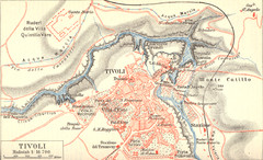
Tivoli Map
247 miles away
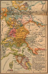
Germany Italy 1806 Map
Germany and Italy in 1806 at the dissolution of the Roman Empire
247 miles away
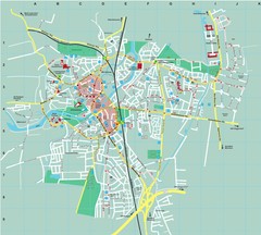
Dachau City Map
City street map of Dachau
247 miles away
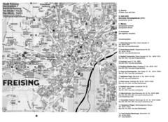
Freising City Map
248 miles away

