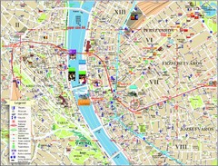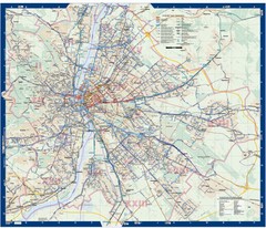
Budapest Public Transit map
118 miles away
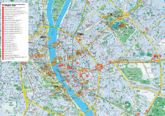
Budapest Hotel Map
Tourist map of Budapest, Hungary. Shows all hotels.
119 miles away
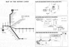
Central European University Metro and Bus Line Map
119 miles away
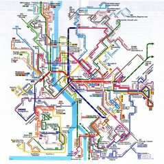
Budapest Public Transportation Map
119 miles away
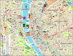
Budapest Tourist Map
Tourist map of central Budapest, Hungary. Shows theaters, museums, post offices, churches, and...
119 miles away
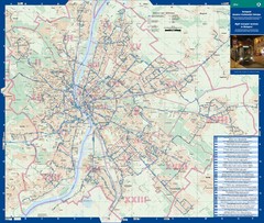
Budapest Night Bus Routes Map
Map of night bus routes in Budapest, Hungary
119 miles away
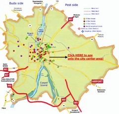
Budapest Hotel Map
119 miles away
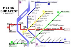
Budapest Metro Map
119 miles away
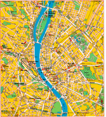
Budapest Tourist Map
119 miles away
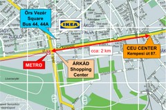
Local Budapest Tourist Map
Stores, main streets and locations in Central Budapest
119 miles away
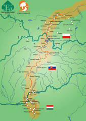
Amber Trail Budapest-Krakow Map
Amber Trail map showing the trail from Budapest to Krakow where you will see several heritage sites.
119 miles away
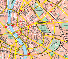
Budapest Street Map
Street map of central Budapest, Hungary.
120 miles away
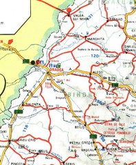
Bihor Map
126 miles away
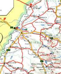
Bihor Romania Road Map
Map of Bihor, Romania showing main roads and roadside services.
126 miles away
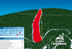
Ski Centar Divcibare Ski Trail Map
Trail map from Divcibare.
126 miles away
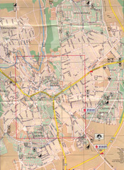
Veszprem City Map
City map of Veszprem, Hungary. Scanned.
131 miles away
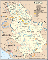
Serbia and surrounding area Map
Serbia in relation to surrounding regions.
131 miles away
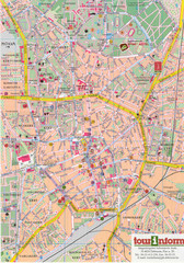
Debrecen Tourist Map
Tourist map of Debrecen Terkep, Hungary.
133 miles away
Hunedoara Map
137 miles away
Hunedoara Map
137 miles away
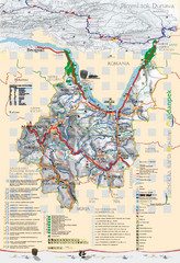
Majdanpek Tourist Map
Tourist map of municipality of Majdanpek, Serbia. Shows points of interest. In Serbian.
138 miles away
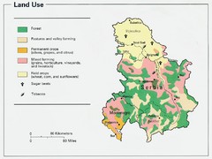
Serbia and Montenegro Land Use Map
Map of Serbia and Montenegro's land use
140 miles away
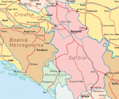
Interrail Routes for Serbia Map
Interrail Railway Routes for Serbia, Bosnia Hercegovina and Croatia.
140 miles away
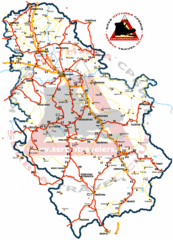
Serbia Road Map
Road map of Serbia, including major cities and locations.
140 miles away
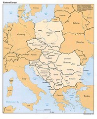
Eastern European Map
Map of Eastern Europe, Poland to Bulgaria
140 miles away
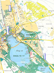
Tatai Öreg-tó Map
144 miles away
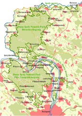
Duna-Ipoly Nemzeti Park Map
Overview map of Duna-Ipoly Nemzeti Park (Danube-Ipoly National Park) north of Budapest, Hungary
145 miles away
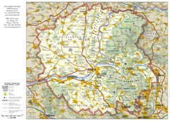
Duna-Ipoly Nemzeti National Park Map
Reference map of Duna-Ipoly Nemzeti National Park and surrounding area north of Budapest, Hungary
145 miles away
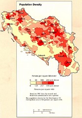
Yugoslavian Population Map
This map clearly marks Yugoslavia's distribution of its population.
154 miles away
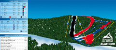
Ski Centar Zlatibor Ski Trail Map
Trail map from Zlatibor.
154 miles away

East Central and Southeast Europe Nationality Map
Shows color-coded nationalities on map of central eastern and southeastern Europe. 1989-1992
155 miles away
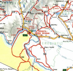
Mehedinti Map
156 miles away
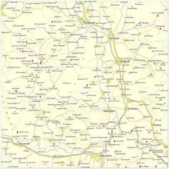
Monasteries in central Serbia (Levač area) Map
Levač is historic area in the central part of Serbia around Morava river.
158 miles away
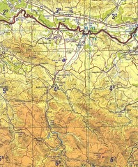
Banja Luka Region Map
162 miles away
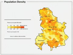
Serbia and Montenegro Population Map
Map of Serbia and Montenegro's population map
164 miles away
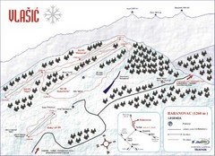
Vlasic Ski Trail Map
Trail map from Vlasic.
164 miles away
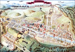
Sarajevo Survival Map 1992-1996
From creator famainternational.com: " Sarajevo Survival Map 92-96 is the ultimate visual...
164 miles away
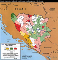
Ethnic Majorities in Bosnia and Herzegovina Map
165 miles away

