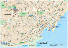
Woodhall Spa Map
Street map of Woodhall Spa
67 miles away
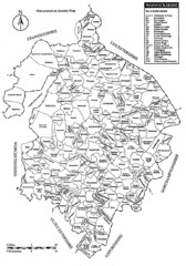
Warwichshire, England Region Map
68 miles away
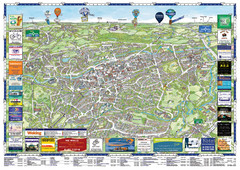
Woking Tourist Map
Tourist map of Woking, Surrey, England. Oblique/3D town map with ads.
68 miles away
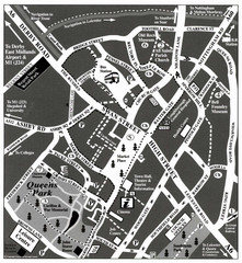
Loughborough Town Centre Map
69 miles away
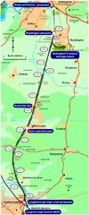
Nottingham Transport Map
A map showing train stations in Loughborough to Nottingham. Includes surrounding roads, towns...
70 miles away
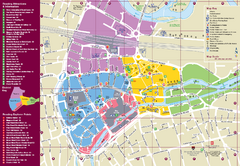
Reading Tourist Map
Tourist map of city center of Reading, England. Shows attractions and other tourist points of...
70 miles away
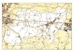
Capel Footpaths Map
Map of Footpaths in Capel Parish
70 miles away
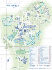
University of Warwick Campus Map
Near Coventry, West Midlands
71 miles away

Great Yarmouth District England Map
Map of Great Yarmouth & the Norfolk Broads showing major roads and cities.
71 miles away
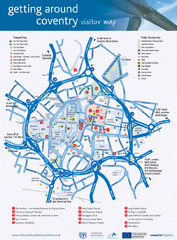
Coventry Tourist Map
Tourist map of central Coventry, England. Shows points of interest.
71 miles away
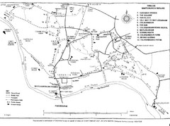
Whitchurch on Thames Walking Map
Guide to 12 walks around Whitchurch on Thames, UK
72 miles away
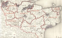
Kent, England County Map
72 miles away
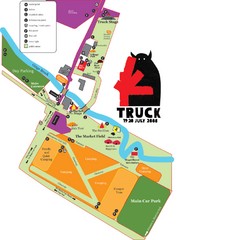
Steventon, South Oxfordshire Tourist Map
74 miles away
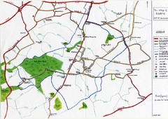
Hoath Town Map
Handwritten map of town of Hoath, England near Canterbury.
75 miles away
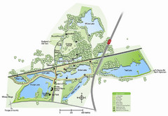
Whisby Nature Park Map
Shows park as of January 2009.
76 miles away
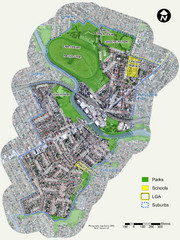
Canterbury Map
Map of parks, main streets, etc.
76 miles away
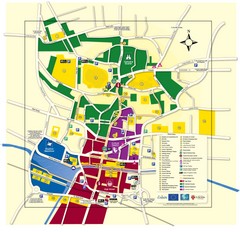
Lincoln Tourist Map
Tourist map of Lincoln, England. Shows points of interest.
76 miles away
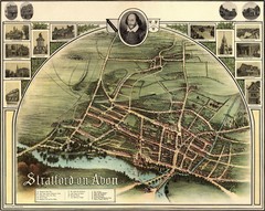
1902 Stratford-upon-Avon Map
Map of William Shakespeare's birthplace
77 miles away
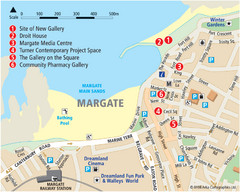
Margate Tourist Map
Tourist map of Margate, England.
78 miles away
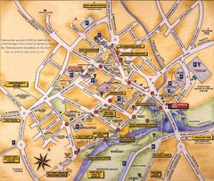
Stratford-upon-Avon Tourist Map
Tourist map of Stratford-upon-Avon, UK. Shows points of interest.
78 miles away
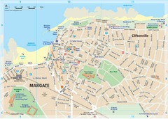
Margate TouristMap Map
78 miles away

Thanet Isle Map
1809 Guide to Thanet Isle in Britain
79 miles away

Broadstairs Tourist Map
81 miles away
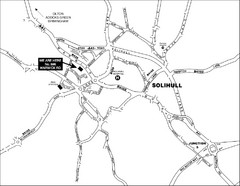
Solihull Town Map
82 miles away
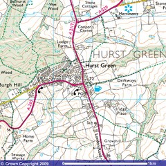
Hurst Green, England City Map
83 miles away

DTb Master Diagram (early draft) Map
DUKERIES THINKBELT: MASTER DIAGRAM All elements and key
86 miles away
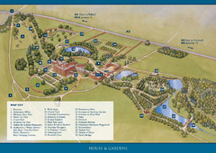
Weston Park Estate Map
86 miles away
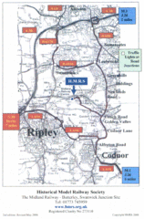
Central England Tourist Map
The area around Nottingham
87 miles away
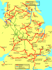
UK Broad Beam Canal Map
Guide to UK waterways that accommodate a barge
87 miles away
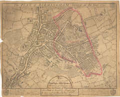
1731 Birmingham Map
Guide to historic Birmingham, UK
88 miles away

Birmingham City Map
Street map of Birmingham, England. Shows buildings, hospitals, parking, and schools.
88 miles away
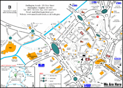
Central Birmingham Map
88 miles away
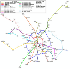
Birmingham Transit Map
Guide to bus lines in Birmingham, UK
88 miles away
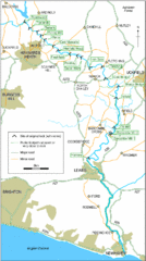
East Sussex, England City Map
88 miles away
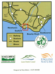
East Sussex, England Bus System Route Map
88 miles away
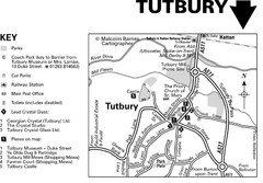
Tutbury Town Centre Map
89 miles away
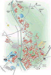
University of Birmingham Map
Guide to Birmingham University and surrounds
89 miles away
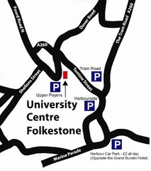
University Centre at Folkestone Map
90 miles away
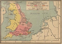
600 British Settlement Map
Map of settlements of Angels, Saxons, Jutes and Native Britons in 600
91 miles away

