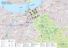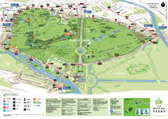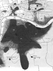
Mr. Grainger's "Cholera Map of the...
There were four districts south of the River Thames that might have interested Snow-#25, St...
50 miles away

Tube Map
Map of London's Tube transportation lines and stops
50 miles away

Untergrund Map
Comedic London Underground Tube map showing what it would look like if England had lost the war.
50 miles away
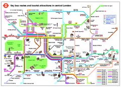
Central London Tourist and Bus map
Current Map showing all London Attractions and Bus transportation Route.
50 miles away
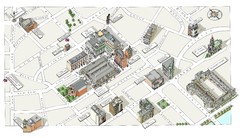
Map of London Covent Garden
Map of Covent Garden London
50 miles away

London Underground Map
London Underground map with all zones
50 miles away
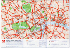
London Bus and Tourist Map
Key bus routes and tourist attractions in central London. Scanned.
50 miles away
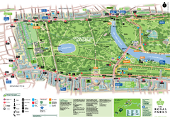
Kensington Gardens Map
50 miles away
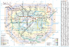
London Underground Map
50 miles away
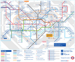
London Tube Map
50 miles away
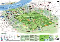
Greenwich Park Map
51 miles away
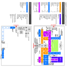
The Victoria & Albert Museum Floor plan Map
Map of The Victoria & Albert Museum in London. Shows entrances and exhibits.
51 miles away
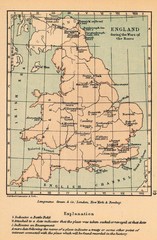
England War of the Roses Map
Guide to battle sites, encampments and treaties of the War of the Roses in England
51 miles away
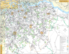
Southeast London Bus Map
51 miles away
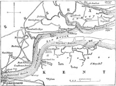
River Thames Map
Map of Thames from Gravesend to Canvey Island
52 miles away

River Thames Map
River Thames Map, illustrated by Katherine Baxter for the Runnymede-on-Thames Hotel as a 8 metre...
54 miles away
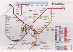
St. Georges Hospital Bus Services Map
55 miles away
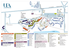
U. of East Anglia Map
55 miles away
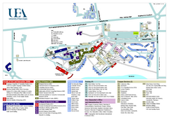
University of East Anglia Map
55 miles away
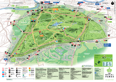
Richmond Park Map
55 miles away
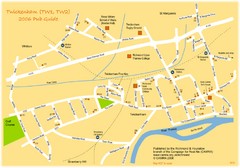
Twickenham Pub Guide Map
Map of TW1 & TW2 area
56 miles away
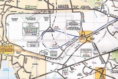
Heathrow Airport Transportation Map
56 miles away
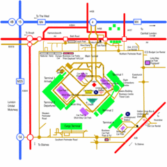
Heathrow Airport Map
56 miles away
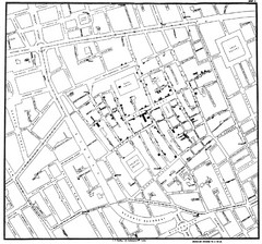
Cholera Outbreak of London Map
Map used to analyze the cholera outbreak in London, specifically South Hampton in 1853
58 miles away

Cawston, Norfolk Guide Map
59 miles away
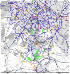
Cheam Bus Route Map
Olympic Bid 2016 - Bus Route Map
60 miles away
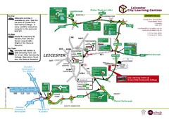
Leicester City Learning Centres Map
61 miles away

Chessington Zoo Map
62 miles away
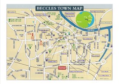
Beccles Town Map
63 miles away
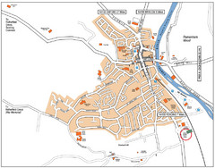
Henley-on-Thames Map
64 miles away
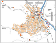
Henley-on-thames Map
Visitor Map of Henley-on-thames. Map shows location of most main roads, buildings, and parking.
64 miles away
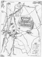
Twyford Parish Map
Footpaths and bridleways map of Twyford Parish
66 miles away
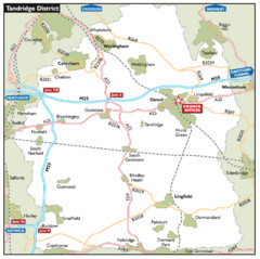
Tandridge District, England Region Map
66 miles away
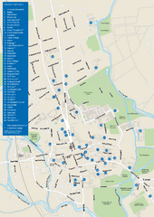
University of Oxford Campus Map
campus map
66 miles away

Disabled Accessible Places in Maidstone, Kent Map
A guide to places in Maidstone that are wheelchair accessible.
67 miles away
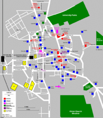
Oxford City Map
Oxford University and surrounding city
67 miles away
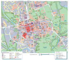
Oxford City Map
Tourist street map of Oxford
67 miles away

