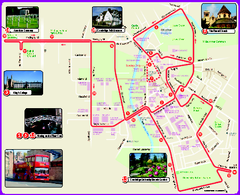
Cambridge Bus Tour Map
Cambridge Bus Tour Map - City Sightseeing
0 miles away
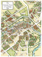
Cambridge England Map
Map of Cambridge, showing all the Colleges
0 miles away
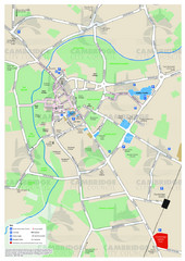
Cambridge Area Map
City map of Cambridge, England. Shows public facilities.
0 miles away
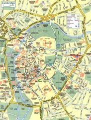
Cambridge Street Map
Street map of central Cambridge, England. Shows University of Cambridge.
less than 1 mile away
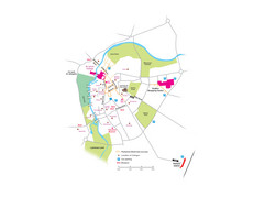
Cambridge City Centre Map
Locations and areas in Cambridge, England
less than 1 mile away
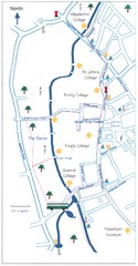
Cambridge Walking Map
Hand drawn tourist walking map of Cambridge, UK
less than 1 mile away
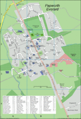
Papworth Everard Tourist Map
11 miles away
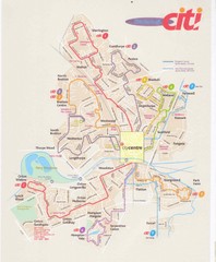
Peterborough Stage Coach Citi Bus Map
30 miles away
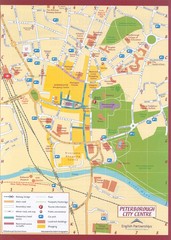
Peterborough City Center Map
City map of central Peterborough, England
30 miles away
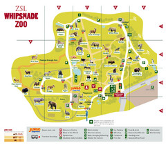
Whipsnade Zoo Map
35 miles away
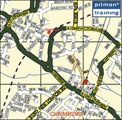
Chelmsford Map
36 miles away
Delaine Bus Route Map
Map of bus routes throughout from Borne to Peterborough
38 miles away
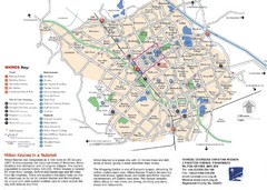
Milton Keynes Region Tourist Map
Tourist map of region around Milton Keynes, UK. Shows railway stations, out of town shopping, and...
38 miles away
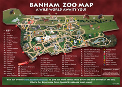
Banham Zoo Map
41 miles away
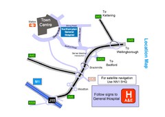
Central Northampton, England Tourist Map
Central Northampton in England
43 miles away
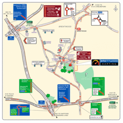
Brentwood, Essex Map
43 miles away
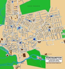
Northampton Town Map
Street map of Northampton from the late Victorian period
44 miles away
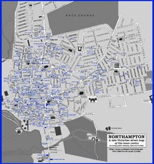
Northampton Town Map
Map of Northampton from the late Victorian period with public houses, inns, hotels, and pubs all...
44 miles away
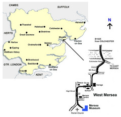
West Mersea Island Museum Map
44 miles away
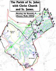
The Parish of St. John's with Christ Church...
A rough history of the Stratford, England and a continuation of the age old tradition of "...
46 miles away
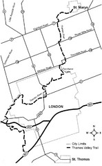
Thames Valley Trail Map
46 miles away
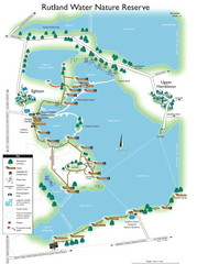
Map of Rudlin Nature Reserve
Full-color map of Rudlin Water Nature Reserve that includes the locations off all Footpaths...
47 miles away
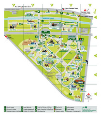
London Zoo Map
48 miles away
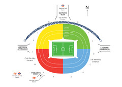
UK Wembley Stadium Map
48 miles away
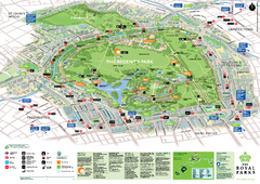
Regent's Park Map
Birds-eye view of the Regent's Park in London
48 miles away
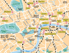
London Bahnhöfe Map
48 miles away
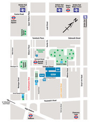
Great Ormond Street Hospital for Children Map
Great Ormond Street Hospital for Children NHS Trust (GOSH)
48 miles away
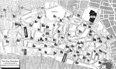
London Church Map
Map of the City of London showing 47 churches and 9 Towers
49 miles away
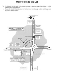
London School of Economics Bus Stop Map
How to get to the London School of Economics.
49 miles away
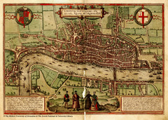
1560 London Map
Historic map of London showing city walls and farms
49 miles away
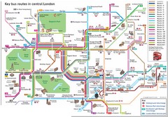
London Central Bus Routes Map
Guide to bus routes in London
49 miles away
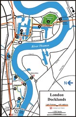
London Docklands Tourist Map
49 miles away
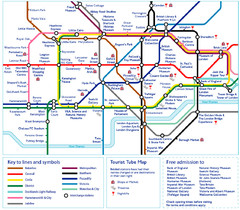
London Tourist Tube Map
London Tube Map with lots of station names replaced with tourist attractions. Key: Union Jack...
49 miles away
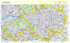
London City Map
City map of London with information and parking locations
49 miles away
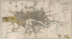
London Map 1807
1807 "London in miniature" map. Scanned.
49 miles away
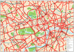
Central London Bus Map
1999 map from The London Tube Map Archive
49 miles away
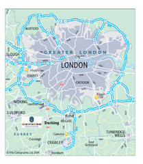
London Map
Map of London highways, roads and surrounding towns.
49 miles away
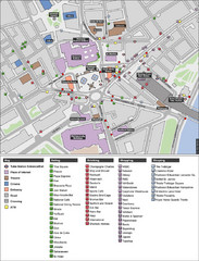
Trafalgar Square Map
49 miles away
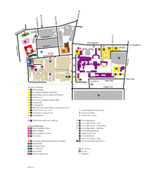
King's College in London Campus Map
King's College located in London
49 miles away

