
San Mateo County Mid-County Trail Map
Trail map of mid-county trails in San Mateo County, California.
24 miles away
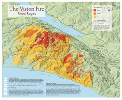
Point Reyes Vision Fire Map
Map of the burn intensity of the 1995 Vision Fire in Point Reyes National Seashore.
25 miles away
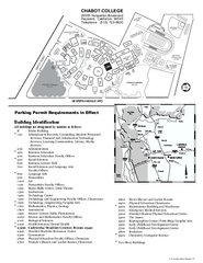
Chabot College Campus Map
Chabot College Campus Map. All buildings shown.
25 miles away
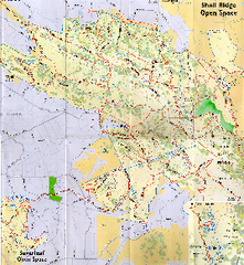
Shell Ridge Open Space Trail Map
Trail map of Shell Ridge Open Space, Walnut Creek's largest open space unit, with trails for...
26 miles away
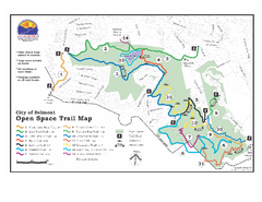
Water Dog Lake Park Trail Map
Trail map of Water Dog Lake Park. Open to mountain biking.
26 miles away
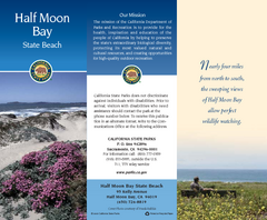
Half Moon Bay State Beach Map
Map of beach with detail of trails and recreation zones
26 miles away
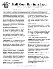
Half Moon Bay State Beach Campground Map
Map of beach with detail of trails and recreation zones
26 miles away
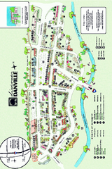
Walking Map of Downtown Danville, California
Tourist walking map of downtown Danville, California. Shows restaurants, shops, visitor's...
27 miles away
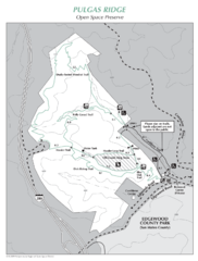
Pulgas Ridge Open Space Preserve Map
Trail map of Pulgas Ridge Open Space Preserve. 366 acres and 6 miles of trails
28 miles away
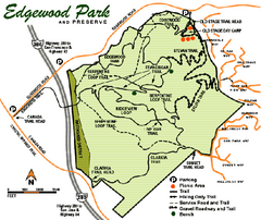
Edgewood County Park Trail Map
Trail map of Edgewood Park and Preserve in Redwood City, California.
29 miles away
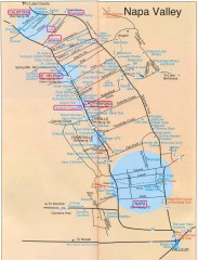
Napa Valley Tourist map
Tourist map of Napa Valley in California, showing wineries and museums in the area.
30 miles away
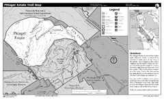
Phleger Estate Trail Map
Trail map of Phleger Estate, part of the Golden Gate National Recreation Area, in Woodside...
30 miles away
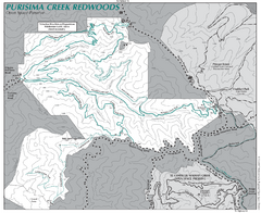
Purisima Open Space Preserve Map
Trail map of Purisima Open Space Preserve. Shows all mountain biking, hiking, and horseback riding...
30 miles away
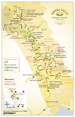
Sonoma Valley Winery Map
High quality map of Sonoma Valley wineries from the vinters and growers. Shows all key roads and...
31 miles away
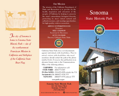
Sonoma State Historic Park Map
Map of park with detail of trails and recreation zones
31 miles away
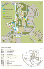
Cañada College Campus Map
Campus map of Cañada College, Redwood City, CA. Shows buildings.
31 miles away
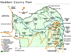
Huddart County Park Map
Trail map of Huddart County Park near Woodside, California.
31 miles away
Petaluma Adobe State Historic Park Map
Map of park with detail of trails and recreation zones
31 miles away
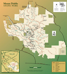
Mt. Diablo State Park Map
Trail map of Mt. Diablo State Park near Walnut Creek, CA
31 miles away
Mount Diablo State Park Campground Map
Map of park with detail of trails and recreation zones
31 miles away
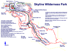
Skyline Wilderness Park Map
Trail map of Skyline Wilderness Park in Napa, California
31 miles away
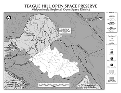
Teague Hill Open Space Preserve Map
Trail map of Teague Hill Open Space Preserve near Woodside, California. Only one trail enters a...
32 miles away
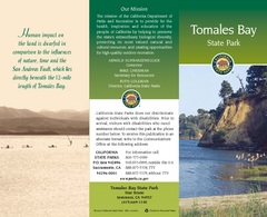
Tomales Bay State Park Map
Map of park with detail of trails and recreation zones
32 miles away
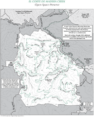
El Corte de Madera Open Space Preserve Map
Trail map of El Corte de Madera Open Space Preserve. Shows all mountain biking, hiking, and...
33 miles away
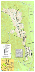
Pleasanton Ridge Regional Park Map
33 miles away
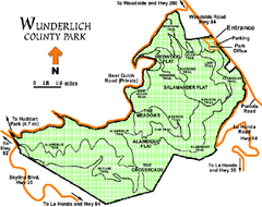
Wunderlich County Park Map
Trail map of Wunderlich County Park near Woodside, California. "The Alambique Trail offers a...
33 miles away
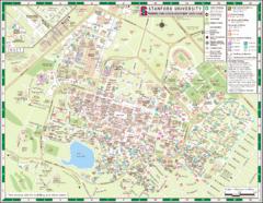
Stanford University Map
A map of the Stanford University campus.
34 miles away
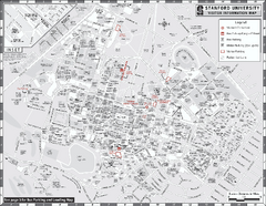
Stanford University Map
Stanford University Campus Map. All buildings shown.
34 miles away
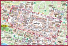
Cardinal Walk Map
Map of Stanford University campus with Cardinal Walk detail
34 miles away
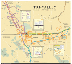
Tri Valley Transportation and Road Map
The Tri Valley cities roads and routes.
34 miles away
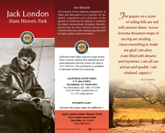
Jack London State Historic Park Map
Map of park with detail of trails and recreation zones
34 miles away

Palo Alto Baylands Nature Preserve Map
Map of the Palo Alto Baylands Nature Preserve in Palo Alto, CA. Shows trails, including part of...
35 miles away
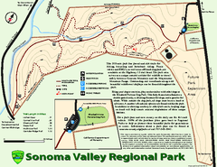
Sonoma Valley Regional Park Map
Trail map of 202 acre Sonoma Valley Regional Park.
35 miles away

Glen Ellen Wine Tasting Map
35 miles away
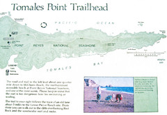
Tomales Point Trail Map
Map of the trail to Tomales Point in Point Reyes National Seashore, California. Also shows trail...
35 miles away
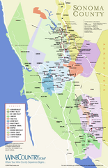
Sonoma Country Wine Map
Wine map of Sonoma, California area. Shows all vineyards.
36 miles away
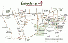
Livermore Valley Wineries, California Map
Map of wineries in Livermore Valley, California. Shows wineries, olive groves, and preserved land.
37 miles away
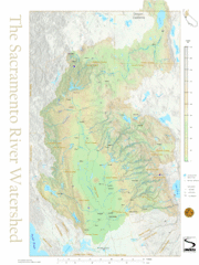
Sacramento River Watershed Map
The map shows, rivers, cities, counties, and roads surrounding the Sacramento River.
37 miles away

Arastradero Preserve Map
Trail map of Arastradero Preserve shows 10.25 miles of trails.
37 miles away
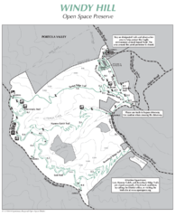
Windy Hill Open Space Preserve Map
Trail map of Windy Hill Open Space Preserve. 1312 acres and 12.2 miles of trails
37 miles away

