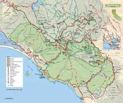
Mount Tamalpais State Park Map
Topographic trail map of Mt Tamalpais State Park in Marin County, California.
7 miles away
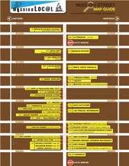
San Francisco Mission Restaurant Map
7 miles away
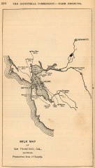
Antique map of San Francisco from 1901
"Milk Map of San Franciso, Cal., Showing Productive Area of Supply." From Report of the...
8 miles away
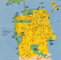
San Francisco City Map
City map of San Francisco with Lowell High School highlighted
8 miles away
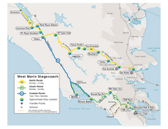
West Marin Bus Map
Bus route map of West Marin Stagecoach. Shows routes to Inverness, Point Reyes Station, Olema...
8 miles away
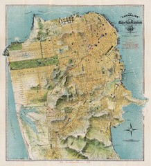
Chevalier map of San Francisco (1912)
Breathtaking map of San Francisco in 1912 by August Chevalier from the BIG Map Blog by way of DRMC.
9 miles away
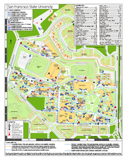
San Francisco State University Map
Campus map of San Francisco State University. All areas shown.
9 miles away
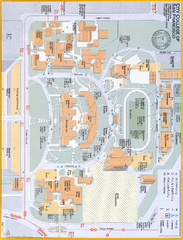
City College of San Francisco - Ocean Campus Map
City College of San Francisco - Ocean Campus Map. All buildings shown.
9 miles away
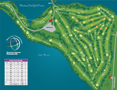
Harding Park Golf Course Map
Course map of Harding Park Golf Course in San Francisco, CA. 18 hole, par 70 course
9 miles away
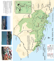
China Camp State Park Map
Trail map of China Camp State Park. Shows trails by use type and all park facilities.
10 miles away
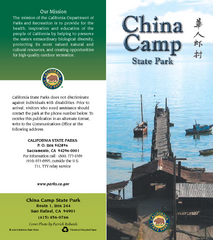
China Camp State Park Map
Map of park with detail of trails and recreation zones
10 miles away

Southern Golden Gate National Recreation Map
11 miles away
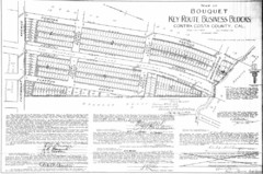
1914 Bouquet Key Route Business Block Map
This map shows the borders of the Bouquet Business District in Contra Costa County, CA
11 miles away
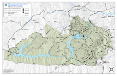
Mt. Tamalpais Watershed Trail Map
Shows roads and trails in the 18,500 Mt. Tamalpais Watershed near Fairfax, California.
11 miles away

Santa Margarita Island, Santa Venetia Marsh, and...
Park map of Santa Margarita Island Open Space Preserve, Santa Venetia Marsh Open Space Preserve...
11 miles away
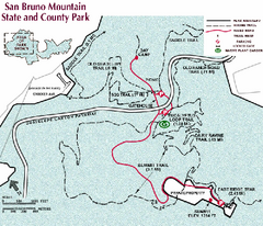
San Bruno Mountain Park Map
Park map of San Bruno Mountain State and County Park. Shows trails in northwest part of park.
11 miles away
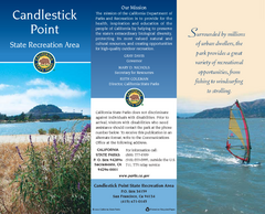
Candlestick Point Recreation Area Map
Map of park with detail of trails and recreation zones
11 miles away
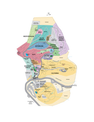
UC Botanical Gardens Map
Unfortunately this is a copy of an interactive map, so is slightly blurred at full size
12 miles away
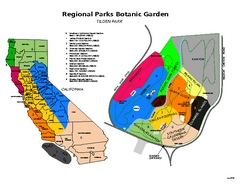
Tilden Regional Park and Native Plant Garden Map
12 miles away
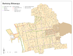
Bikeway Network of Berkeley, California Map
Map of current and proposed bike paths, lanes, and boulevards in Berkeley, California.
12 miles away
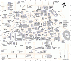
University of California at Berkeley Map
Campus map of the University of California at Berkeley. All buildings shown.
12 miles away
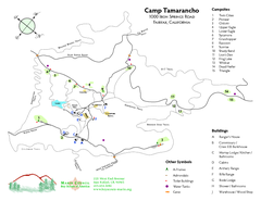
Tamarancho Map
12 miles away
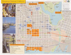
Oakland Tourist Map
Tourist map of downtown Oakland, California. Shows shopping districts.
12 miles away
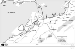
Bay Area, CA Bike Map
12 miles away
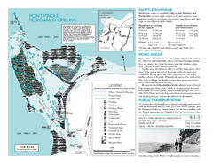
Point Pinole Regional Shoreline Map
12 miles away

Downtown Oakland, California Map
Tourist map of downtown Oakland, California. Shows museums, parks, neighborhoods of interest and...
12 miles away
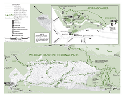
Wildcat Canyon Regional Park Map
13 miles away
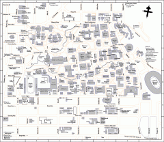
UC Berkeley Map
UC Berkeley campus map
13 miles away
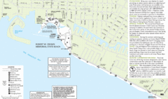
Crown Memorial State Beach Map
13 miles away
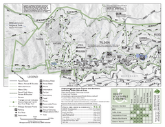
Tilden Regional Park Map - North
13 miles away
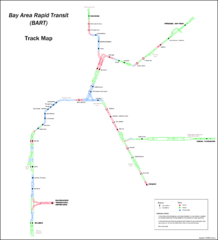
Bay Area Rapid Transit (BART) Track Map
Map of Bay Area Rapid Transit (BART) tracks. Includes all train stops and details about the tracks.
13 miles away
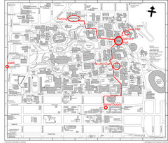
UC Berkely Campus Map
13 miles away
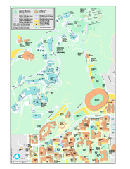
University of California, Berkeley Visitor Map
Colorful Map that illustrates the location of all buildings, parking areas, and streets in and...
13 miles away
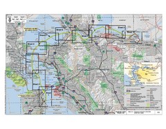
San Francisco Trans Bay Cable Project EIR Map
Map A.2-1 Detailed Project Location
13 miles away
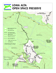
Loma Alta Preserve Map
Topographical trail map of Loma Alta Preserve in Marin County, California
13 miles away
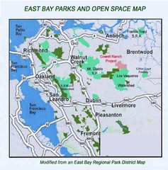
Eastbay Parks and Open Spaces Map
13 miles away
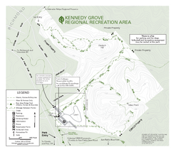
Kennedy Grove Recreation Area Trail Map
222-acre park
14 miles away
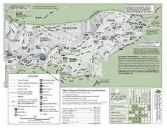
Tilden Regional Park Map - South
14 miles away
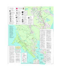
Marin Bicycle Map - Side B
Bike route map of Marin County, California. Shows primary and secondary road routes, paved and...
14 miles away
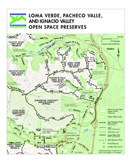
Loma Verde, Pacheco Valley, Lucas Valley and...
14 miles away

