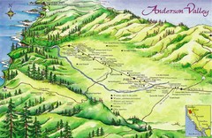
Anderson Valley Wine Map
Shows wineries/vineyards in Anderson Valley, California along Route 128 from Navarro, California to...
2427 miles away
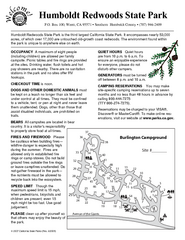
Humboldt Redwoods State Park Campground Map
Map of campground region park with detail of trails and recreation zones
2429 miles away
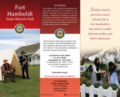
Fort Humboldt State Historic Park Map
Map of park with detail of trails and recreation zones
2430 miles away
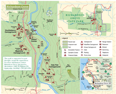
Richardson Grove State Park Map
Park map of Richardson Grove State Park, California. Shows trails, campgrounds, and other...
2431 miles away
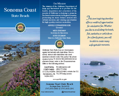
Sonoma Coast State Beach Map
Map of beach and park with detail of trails and recreation zones
2431 miles away
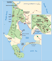
Bodega Bay Park Map
Park map of the Sonoma Coast State Beach park lands in Bodega Bay, California. Shows roads, trails...
2432 miles away
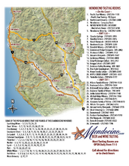
Mendocino Beer and Wine Tasting Map
Beer and wine tasting map of Mendocino county, California. Show breweries and wineries on the...
2432 miles away
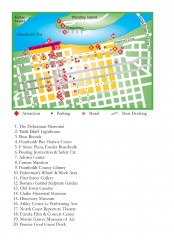
Old Town, Eureka, California Map
Tourist map of the Old Town area of Eureka, California. Shows various attractions including murals...
2432 miles away
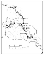
Humboldt Redwoods State Park Map
Park map of Humboldt Redwoods State Park, California. Shows Avenue of the Giants, trailheads and...
2432 miles away
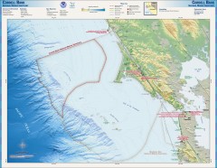
Cordell Bank National Marine Sanctuary Map
Topo and bathymetric map of the Cordell Bank National Marine Sanctuary, located 60 miles northwest...
2433 miles away
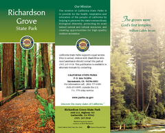
Richardson Grove State Park Map
Map of park with detail of trails and recreation zones
2433 miles away
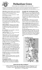
Richardson Grove State Park Campground Map
Map of campground region of park with detail of trails and recreation zones
2433 miles away
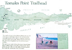
Tomales Point Trail Map
Map of the trail to Tomales Point in Point Reyes National Seashore, California. Also shows trail...
2434 miles away
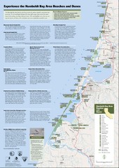
Humboldt Bay Area Beaches and Dunes Map
Humboldt Bay Beaches & Dunes Map & Guide
2436 miles away
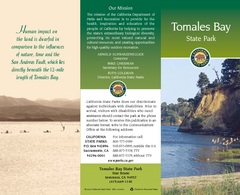
Tomales Bay State Park Map
Map of park with detail of trails and recreation zones
2436 miles away
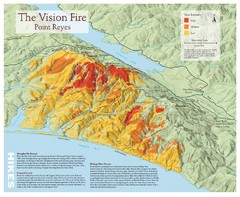
Point Reyes Vision Fire Map
Map of the burn intensity of the 1995 Vision Fire in Point Reyes National Seashore.
2437 miles away
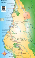
Humboldt County, California Map
Tourist map of Humboldt County, California. Shows parks, wildlife refuges, visitor centers, and...
2437 miles away
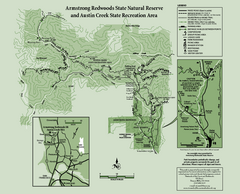
Armstrong Redwoods State Natural Reserve Map and...
Park map of Armstrong Redwoods State Natural Reserve and Austin Creek State Recreation Area in...
2437 miles away
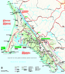
Point Reyes National Seashore Map
Official NPS map of Point Reyes National Seashore in Marin County, California. Shows trails, roads...
2439 miles away
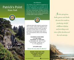
Patrick's Point State Park Map
Map of park with detail of trails and recreation zones
2441 miles away

Sebastopol Map
Map of Sebastopol and surrounding towns.
2441 miles away
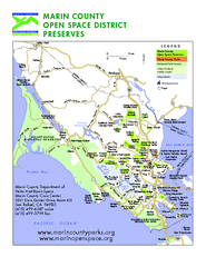
Marin Open Space Preserves Map
Shows all Open Space Preserves in Marin County, CA.
2442 miles away
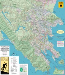
Marin, California Bike Map
2442 miles away
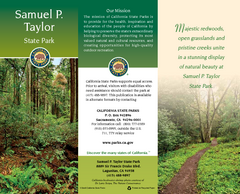
Samuel P. Taylor State Park Map
Map of park with detail of trails and recreation zones
2442 miles away
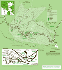
Samuel Taylor State Park Trail Map
Trail map of Samuel Taylor State Park near Lagunitas, CA.
2443 miles away
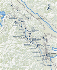
Dry Creek Valley Wineries, California Map
Map of wineries in Dry Creek Valley, California. Shows wineries and roads.
2444 miles away
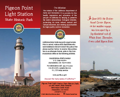
Pigeon Point Light Station State Historic Park Map
Map of park with detail of trails and recreation zones
2445 miles away
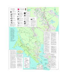
Marin Bicycle Map - Side B
Bike route map of Marin County, California. Shows primary and secondary road routes, paved and...
2445 miles away

Southern Golden Gate National Recreation Map
2445 miles away
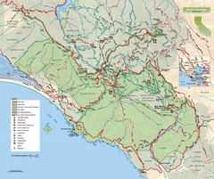
Mount Tamalpais State Park Map
Topographic trail map of Mt Tamalpais State Park in Marin County, California.
2447 miles away
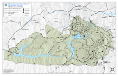
Mt. Tamalpais Watershed Trail Map
Shows roads and trails in the 18,500 Mt. Tamalpais Watershed near Fairfax, California.
2447 miles away
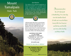
Mount Tamalpais State Park Map
Map of park with detail of trails and recreation zones
2447 miles away
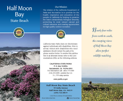
Half Moon Bay State Beach Map
Map of beach with detail of trails and recreation zones
2447 miles away
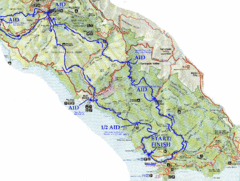
Golden Gate Headlands 50k Course Map
Here is a map of the 31-mile course for the Golden Gate Headlands: USATF National 50K Trail...
2447 miles away
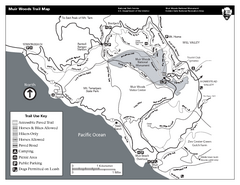
Muir Woods Trail Map
Black and white trail map of Muir Woods National Monument and surrounding Mount Tamalpais State...
2447 miles away
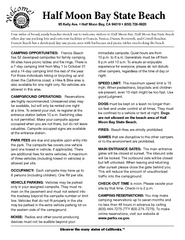
Half Moon Bay State Beach Campground Map
Map of beach with detail of trails and recreation zones
2447 miles away
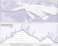
Dipsea Race Course Map
Course map of the annual Dipsea Trail Run Race. Shows birds-eye view and elevation profile of the...
2447 miles away
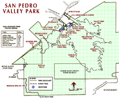
San Pedro Valley Park Map
Park map of San Pedro Valley County Park in San Mateo County, California.
2447 miles away
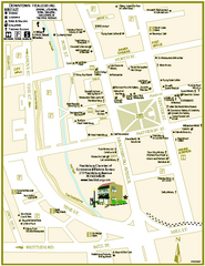
Downtown Healdsburg, California Map
Tourist maps of downtown Healdsburg, California. First map shows restaurants, galleries, wine...
2448 miles away
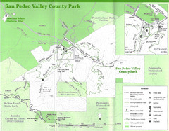
San Pedro Valley County Park Map
Trail map of San Pedro Valley County Park. 1,100 acre park with miles of trails and waterfall...
2448 miles away

